Atmospheric floodgates allow brisk air, hefty snowfall into Alberta
Alberta's first significant snowfall this fall will likely disrupt the commutes again on Tuesday morning, so make sure to give yourself lots of time to get your destination safely
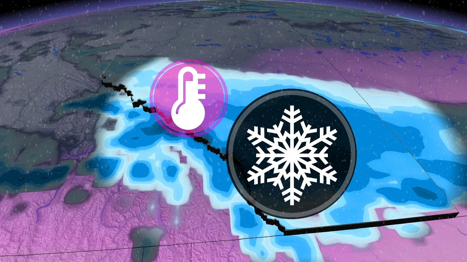
A sharp trough has dug in and took the placement of the warm air in Alberta that was in place recently. That has opened the atmospheric floodgates, allowing brisk air from Northern Canada to spill south, sending temperatures crashing down from their lofty heights.
SNEAK PEEK: What El Niño means for Canada's upcoming winter season
Because of that flood of Arctic air filtering in, the season's first significant snowfall event is in progress in parts of Alberta.
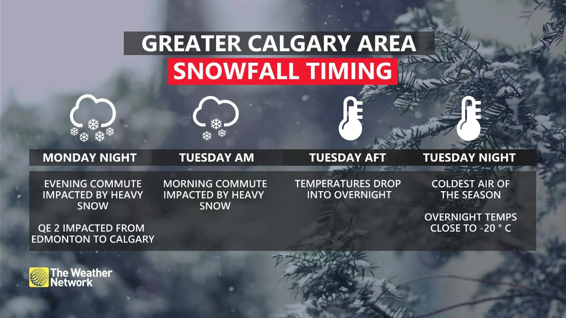
Calgary’s first flakes of the year flew on Monday, but the snow became heavier for the evening commute as temperatures continued to fall.
Travellers can expect slow commutes to continue on Tuesday morning, as well.
Tuesday and Wednesday
Snowfall will also impact Tuesday’s morning commute, but it will ease in intensity with improving conditions through the day.

The heaviest snowfall through Tuesday will set up overtop of Red Deer and Calgary, with some localized totals pushing towards 10-20 cm of snowfall. As much as 15-25 cm is expected in the foothills west of Calgary, where upsloping can enhance accumulations. Most other areas may see 5-10 cm of snow.
There is high confidence that Tuesday and Wednesday will produce the coldest daytime highs out of this first fall cold snap, with overnight lows falling into the minus double digits as the snowfall eases, while a band of Arctic air settles in from northern British Columbia across central Alberta.
DON'T MISS: Largest solar storm ever revealed by ancient tree rings

That may not be the end of the snow for next week, either.
Low confidence exists for some additional snowfall late Wednesday into Thursday as an upper trough rolls in off the Pacific, but some computer models show the dense, Arctic air shifting the storm track well south. It will take a couple of days to resolve this feature, and we should have a better idea of this by Monday.
GET READY: Make these simple routine changes to prevent dry, brittle hair in winter
So, has it been this cold, this early, before? Absolutely. Just go back to October of 2020 when the daytime high hovered near -10°C around this time of year.
This doesn’t mean Calgary is going to see the snowiest October on record. That record stretches back to just five years ago in 2018 when nearly 50 cm of snowfall fell throughout the month, more than 400 per cent of normal.
Keep checking back to The Weather Network for more forecast information and updates on your weather across Alberta.
Thumbnail contains image from a 2022 event. It is courtesy of Michael Kieswetter/X, taken in Calgary, Alta.