PHOTOS: Amazing visuals from widespread thunderstorms across Ontario

Ontario’s heat and humidity battled a cold front on Wednesday. The front prompted tornado warnings as severe thunderstorms fired up in the mid-to-late afternoon and evening.
A storm system that just finished up travelling along the Prairies earlier in the week made its way to southern Ontario Wednesday. The daytime heat was opportune for the cold front to build energy and create thunder, rain, strong winds, and rotating storms.
Thunderstorms led to both tornado watches and warnings for many parts of southern Ontario late-afternoon and evening.
High winds and even a possible tornado led to tree damage, while driving rains led to localized flooding. The Weather Network’s Mark Robinson followed the storm on the ground and documented the formation and movement as it moved into the province.
READ MORE: ‘This is a tornado emergency’: How forecasters warn of grave danger
The storms prompted several tornado watches and warnings before progressing into the Golden Horseshoe later in the evening. Frequent lightning, heavy rainfall, and powerful winds were reported.
As of 9:50 PM EDT, Hydro One was reporting outages impacting about 15,800 customers.
As of 10:00 PM EDT, no severe damage or injuries were reported.
The storms were forecast to blast eastward into the evening and overnight, while losing intensity with the loss of daytime heating. The threat for severe weather will push into Quebec on Thursday.
Below is a selection of more photos and videos that were shared on social media as the storms journeyed their way across the province:

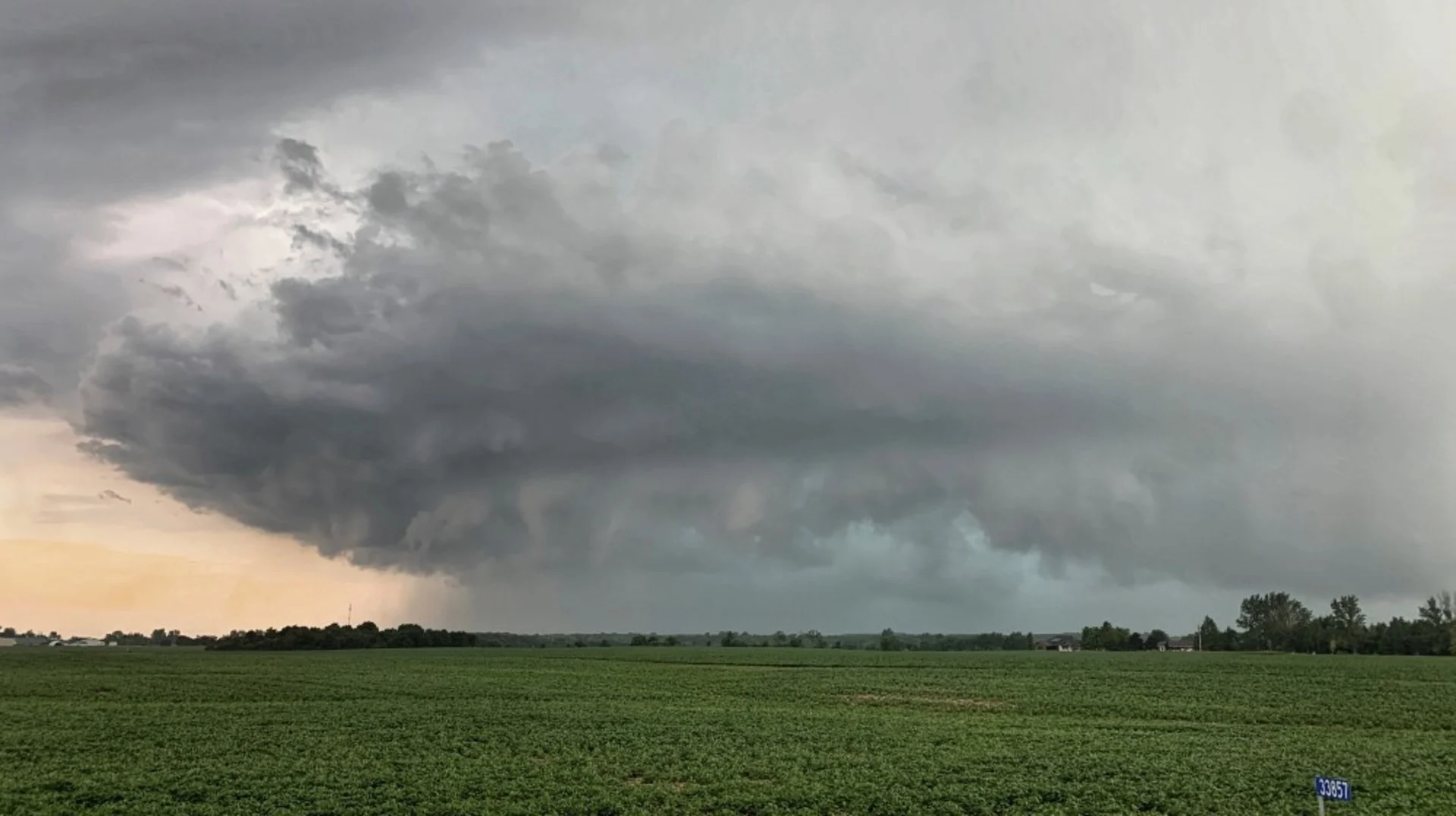
Menacing clouds photographed in Brantford, Ont., July 20, 2022. (Submitted/Domenico Nardone)


