Strong storms continue pushing through southern Ontario overnight
A busy day of severe weather across southern Ontario will wane as the night progresses. The severe threat moves into Quebec on Thursday.
A boisterous round of severe thunderstorms roared through southern Ontario on Wednesday afternoon and evening, knocking out power to thousands of customers and tearing down trees in spots. While the worst appears over, the storms will continue trucking eastward as we head into the overnight hours and some severe weather remains possible. More on what to expect into Thursday morning, below.
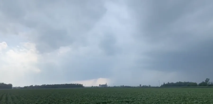
PHOTOS: Tornado-warned storms hit southern Ontario
Overnight Wednesday: Strong to severe storms push east across southern Ontario
Widespread tornado watches and a handful of tornado warnings accompanied the line of severe thunderstorms as it crossed Lake Huron and marched ashore in southern Ontario on Wednesday afternoon. The storms hit with a punch as high winds and driving rains brought visibility down to nearly zero in some spots.
The storm threat will wane from west to east as we head into the overnight hours as the lines of storms gradually make their way across southern Ontario.
Some severe weather remains possible overnight Wednesday into Thursday, with strong wind gusts, large hail, and heavy rain posing the main threats.
Check back frequently for the latest updates on the storm threat across Central Canada.
Stay alert for watches and warnings as you turn in for the night. Make sure you have a way to receive severe weather warnings the moment they’re issued.
Remember that strong winds in severe thunderstorms are quite dangerous. Stay indoors and away from windows if threatening weather approaches your location. Avoid rooms where large trees or tree limbs could fall due to high winds.
Calmer conditions will prevail across southern Ontario for the day on Thursday, with mainly sunny skies for most areas. Temperatures will remain on the warmer side of seasonal, with daytime highs around 30°C in the south and the upper 20s farther north. It’ll be a sticky heat, too, with high moisture pushing humidex values into the mid- to upper 30s for most of the area.
The threat for severe thunderstorms will push into southern Quebec on Thursday.
Check back frequently for the latest updates on the storm threat across Central Canada.


