PHOTOS: Tornado-warned storms slam parts of southern Ontario

Severe thunderstorms tore through parts of southern Ontario Thursday prompting a tornado warning for a highly-populated area.
It’s been quite a lengthy stretch of soggy weather for Ontario, as humid and unsettled weather have triggered a number of storms this week.
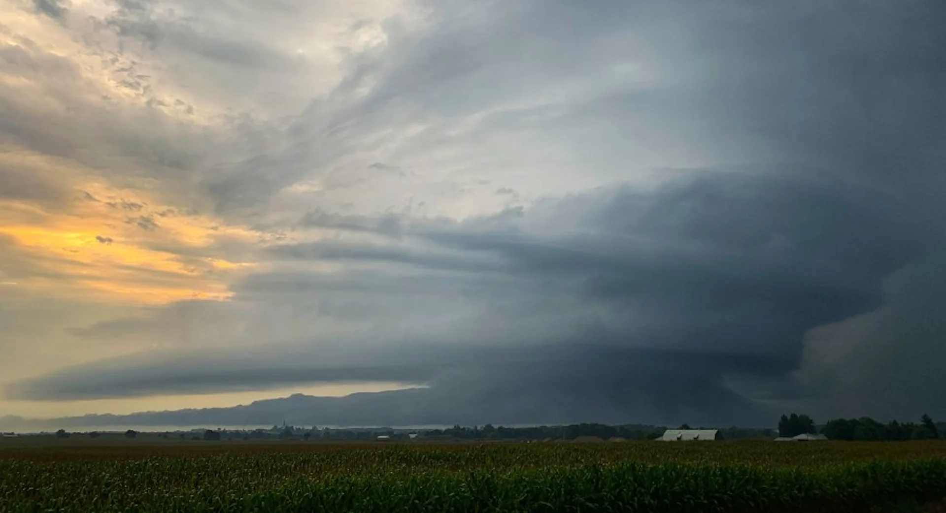
We saw some rough weather across parts of southern Ontario on Thursday as a low-pressure system slid across the area. Hefty thunderstorms produced torrential downpours and even prompted a tornado warning near Milton during the afternoon hours.
PLAN AHEAD: The top waterproof backpacks for students of all ages
The Weather Network meteorologist Mark Robinson was on the ground capturing images of the storms.
Active weather was very widespread across the province, stretching from Stratford all the way north to Haliburton, though the impacts and rainfall amounts varied depending on locations.

Some of the hardest hit areas saw nearly 70 mm of rain throughout the day.
Take a look at some of the photos and videos that were shared on social media as the severe thunderstorms hit: