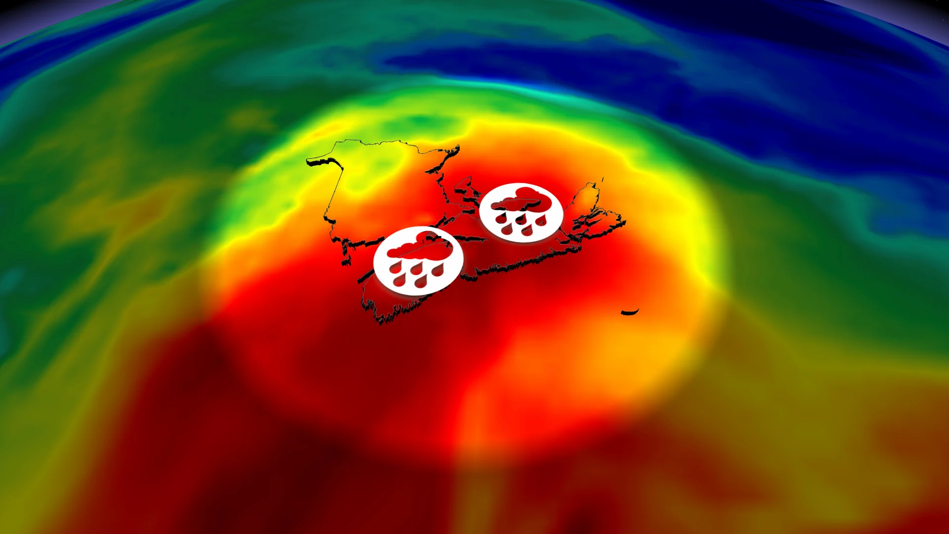
Oh, what a tropical night in the Maritimes as humid air mass sinks in

High dew points are often a precursor to incredibly mild nights, and that’s exactly what’s on tap for Atlantic Canada through the pre-dawn hours on Tuesday.
The dew points on Monday were raising eyebrows, spilling into the low 20s across most of Atlantic Canada. Dew points above 20°C can be uncomfortable for some individuals.
DON’T MISS: Trouble may lurk beyond hurricane season’s very quiet start
High dew points are often a precursor to incredibly mild nights, and that’s exactly what’s on tap through the pre-dawn hours on Tuesday.
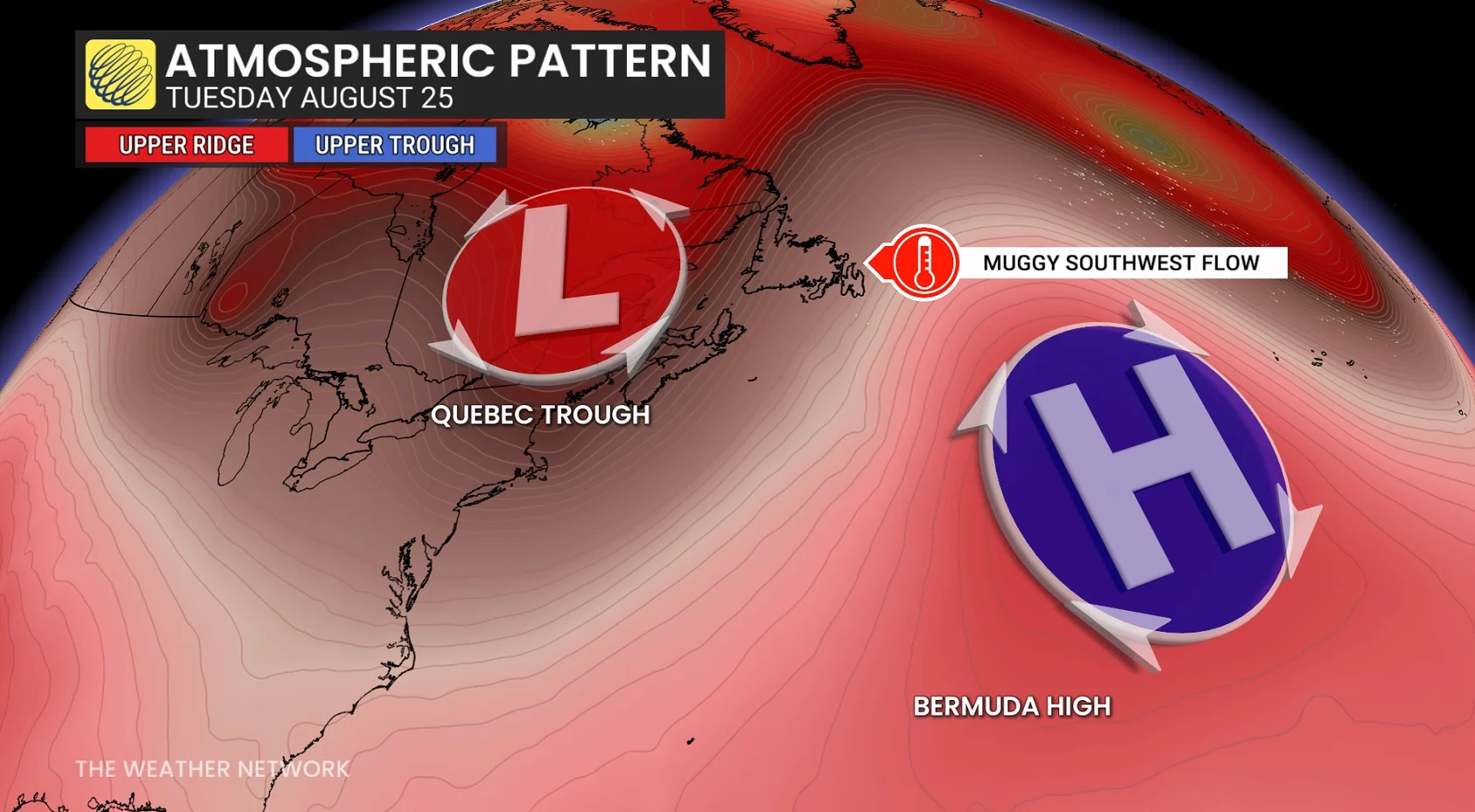
It’s also a recipe for dense fog, which may be hazardous to drivers all along Nova Scotia, the Bay of Fundy, and portions of Newfoundland through Tuesday. And all this excess moisture makes it easier to generate thunderstorms.
Muggy air, rain, storm risk Monday night
After recent torrential rains and moisture from the subtropics, you can trace the current air mass that’s surrounding Atlantic Canada back to the Bahamas--more than 3,000 kilometres away from Newfoundland.
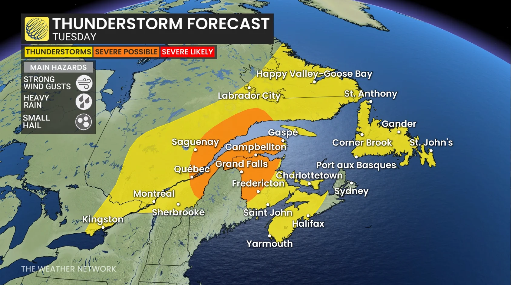
With a highly unusual amount of moisture, thunderstorm risk continues across eastern Nova Scotia and Newfoundland through the pre-dawn hours on Tuesday.
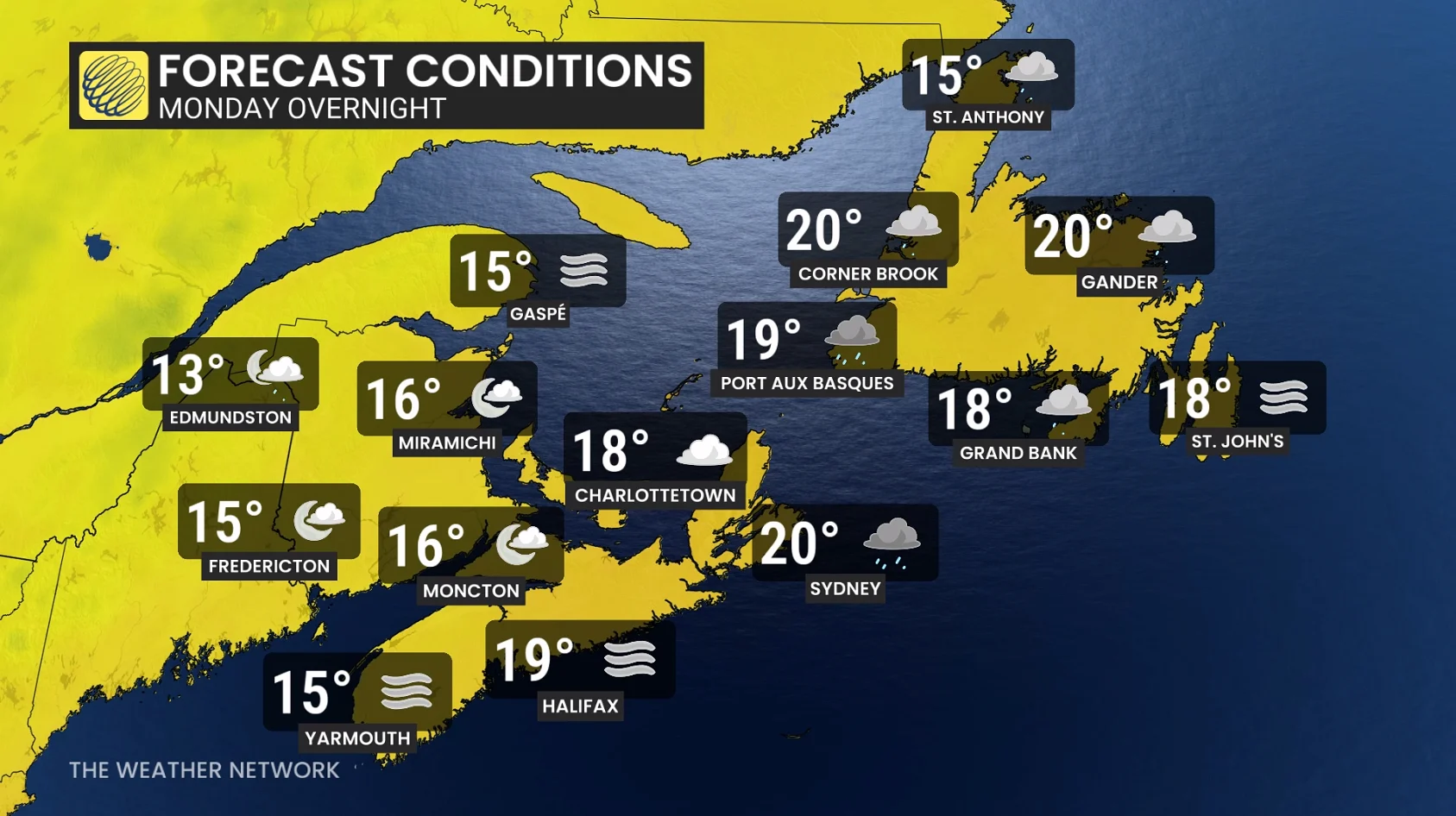
Monday overnight lows are forecast to remain at or above 20°C for Sydney and Cape Breton, N.S., Gander, St. John’s, N.L., and most of Newfoundland.
Normal, overnight lows for late August are 11°C for St. John’s and 10.2°C for Gander.
The forecast overnight lows are actually warmer than the average daytime highs.
19.3°C: St. John’s
19.5°C: Gander
Muggy conditions remain in Nova Scotia on Tuesday, rain in Newfoundland
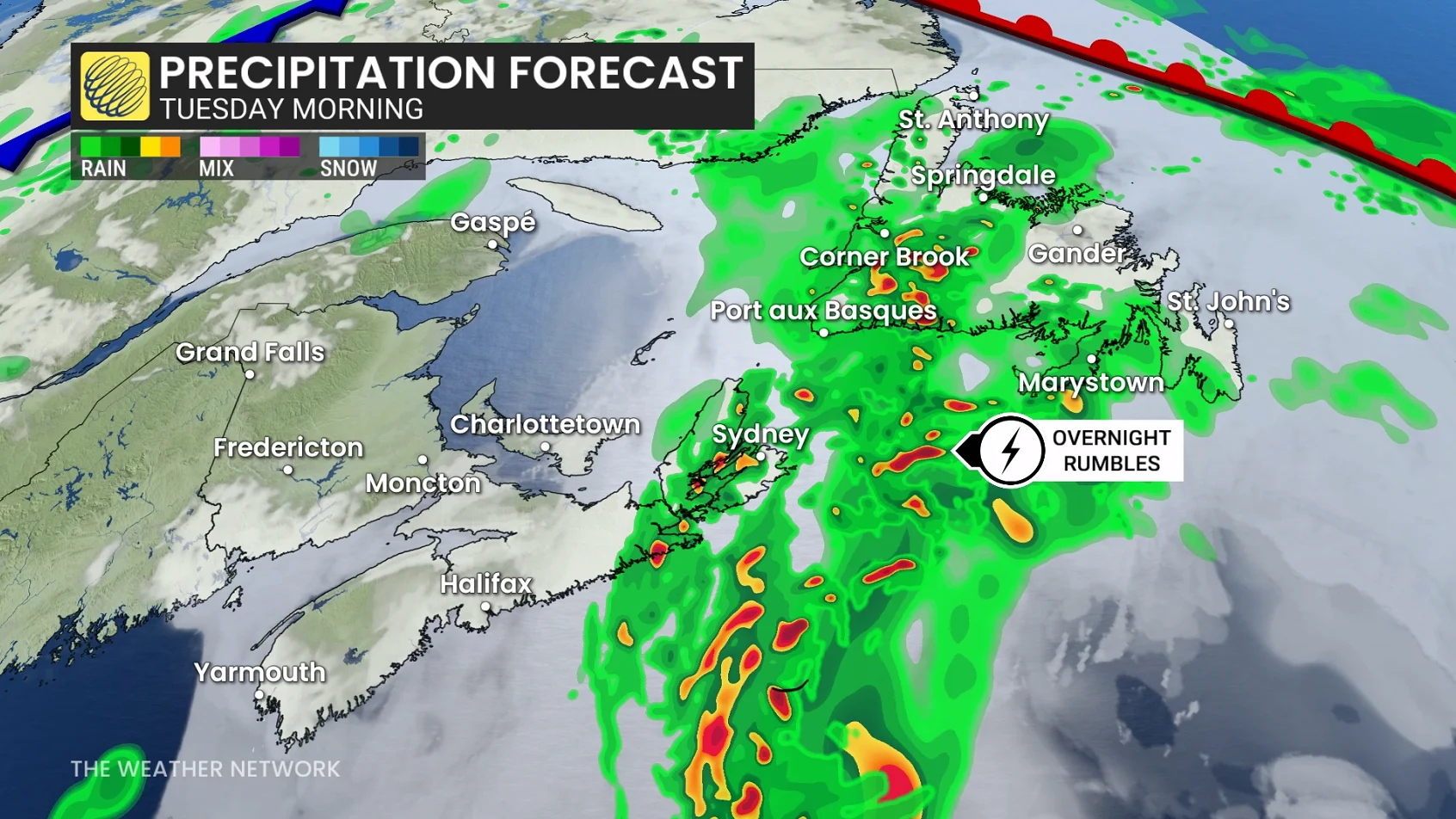
Muggy conditions will persist across Nova Scotia on Tuesday, with the humidex ticking above 30 inland.
Rounds of showers and thunderstorms pivot across Newfoundland, where some rainfall totals since Monday are continuing to increase.
RELATED: Tips to stay safe during a flash flood as peak season draws near
Keeping an eye on tropical activity
Temperatures during the final week of August will be 2-3 degrees above the seasonal mark all across Atlantic Canada, with a drier trend for most of the week across the Maritimes.
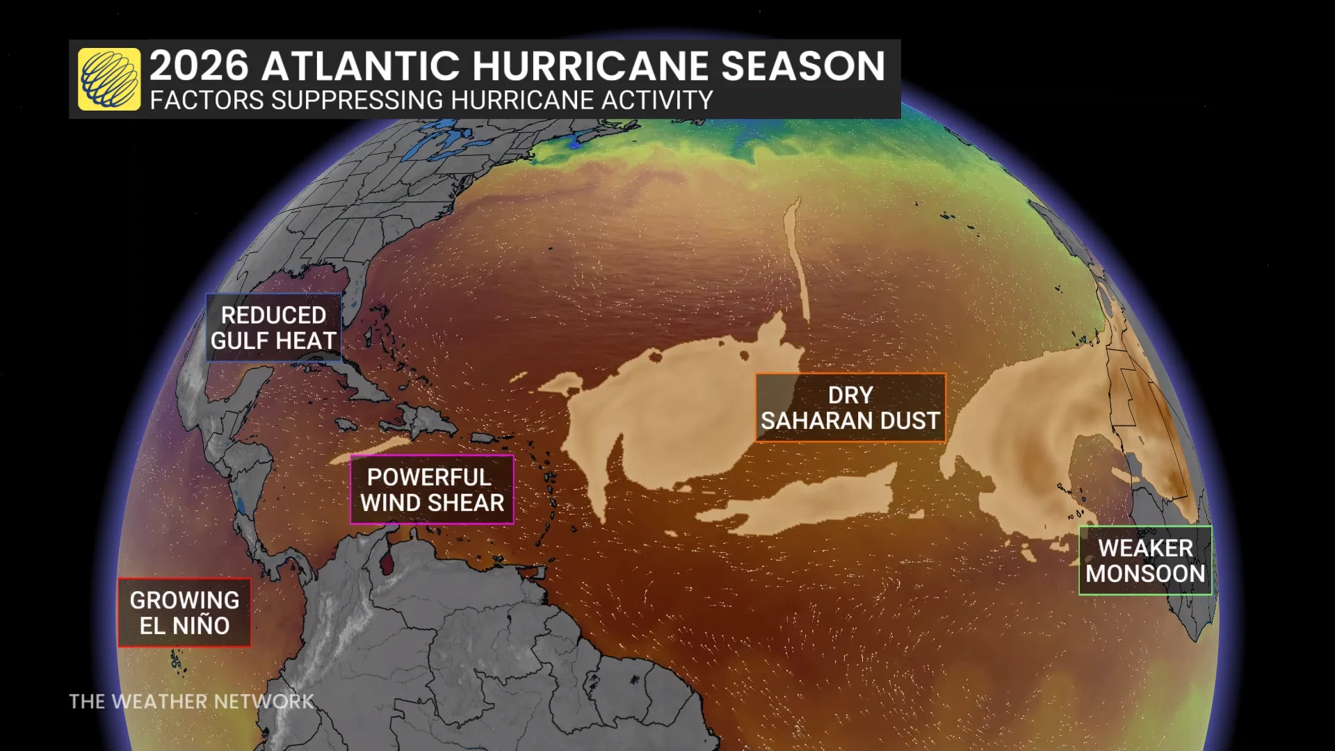
It's been a quiet season for tropical storms in the Atlantic basin, but that may change as forecasters watch two areas that may potentially develop into tropical systems.
The first area, southeast of Bermuda, could become a short-lived sub-tropical storm in the next day or so and bring heavy rainfall to eastern Newfoundland by the midweek as it weakens into a regular low-pressure system.
The second area of interest to forecasters is just beginning to push off Africa's west coast. It's too early to say whether or not it will have any land impacts, but it's being closely monitored.