Ontario's bumpy March ride continues with a fresh round of snow
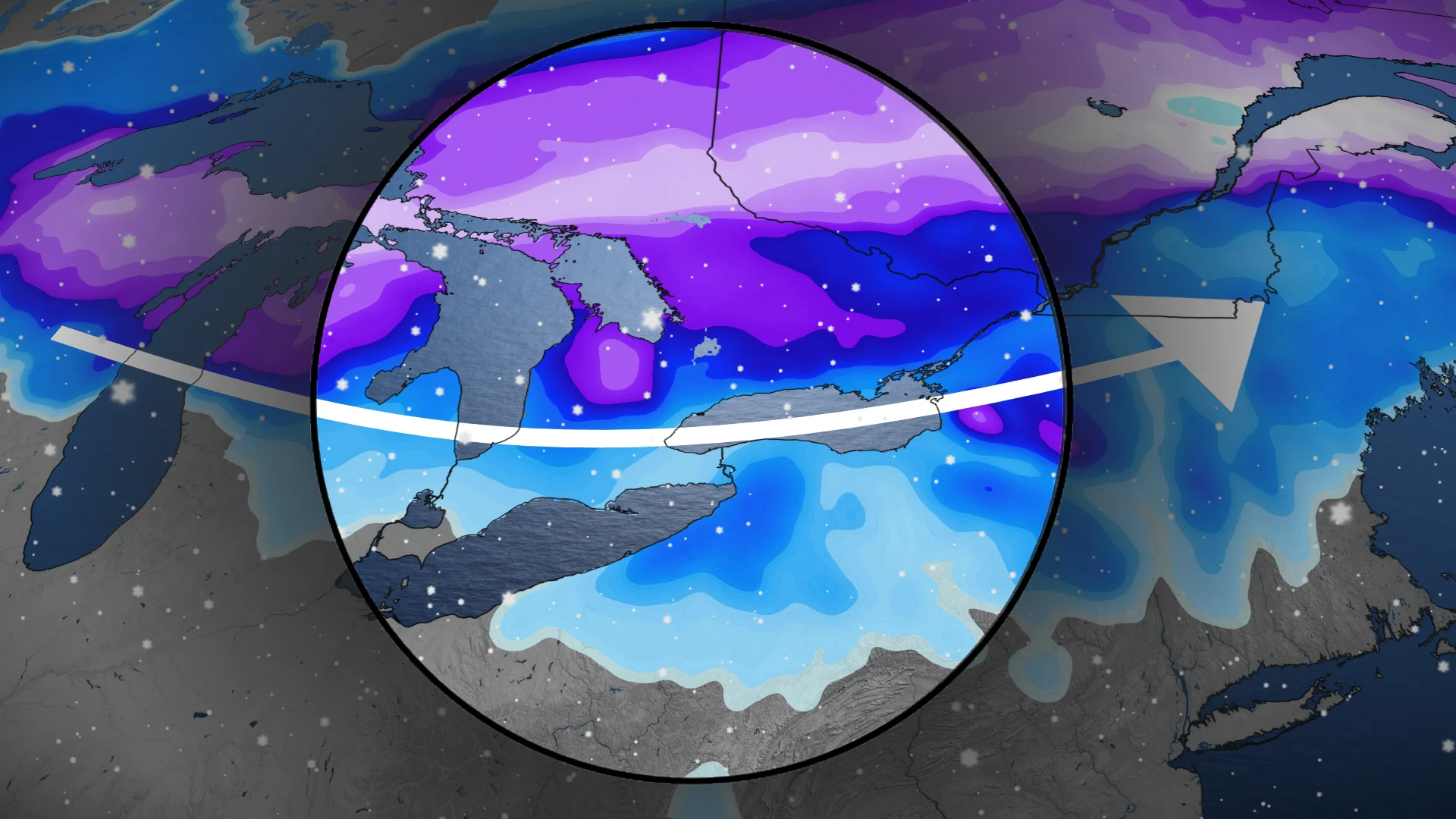
March's roller-coaster of weather in Ontario will continue Friday with a quick-moving, cross-country low that will spread 5-20 cm of snowfall
After Wednesday's freezing rain, ice and snow event, Ontario will be in line to see more wintry weather on Friday. So, keep the snow-clearing equipment handy.
This time around, snow will be the main focus, affecting much of southern Ontario. The system will originate on the West Coast and push through the Prairies before arriving in Ontario with 5-20 cm of snowfall on Friday.
DON'T MISS: Schools closed, buses cancelled by freezing rainstorm
Prepare for quickly changing and deteriorating travel conditions on Friday as roads will be slippery and visibility may be reduced. Allow extra time for travel.
Next wintry system en route for Friday
From a false spring to spring flooding and now, back to snow. Hold on, Ontario, to March’s bumpy ride!
A potent storm bringing severe wind gusts to B.C. and significant snow to the Prairies will target southern Ontario by Friday.

Snowflurries begin Friday morning, stretching from the Lake Huron shores into London and the Greater Toronto Area (GTA).
Snowfall rates increase Friday afternoon and evening. Prepare for slowdowns in the afternoon and evening commutes.
Some snow may change to rain by Friday evening, including in Windsor, London and Niagara.
Snowfall then moves east into Ottawa late Friday evening, continuing on Saturday morning.

The region will get a brief break from active weather on Saturday, but it will be blustery and temperatures will be below normal.
By Sunday forecasters are closely watching a Colorado low, which could bring more impactful snow and rain to the region.

Monday will be very windy and turn colder. Bands of lake-effect snow will develop Monday and continue through Tuesday.
Temperatures will rebound during the second half of next week but could trend colder again during the weekend. An active pattern with changeable temperatures is expected to continue through late March.
Stay with The Weather Network for more information and updates on your weather across Ontario.