Ontario: More snow to come, Friday morning commute impact

More rounds of snow ahead, lasting into Friday and even into Saturday for the worst-hit communities.
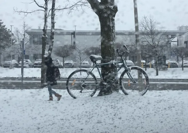
Another round of snow was set to pick up into the overnight into Friday morning for southwestern Ontario, though some Lake Huron shore communities and eastern Ontario are in for some of the heavier amounts through the day Friday, lasting even into Saturday morning for some. A closer look at impacts and timing, below.
WEATHER HIGHLIGHTS
Snow continues into Friday morning for some communities, particularly in eastern Ontario
Additional lake enhancement during the day on Friday, some coinciding with the evening commute
20-30 cm could fall from Kingston to Ottawa by the time it completely tapers into Saturday morning
Stay up-to-date on the ALERTS in your area
FRIDAY INTO SATURDAY: SIGNIFICANT ROUNDS OF SNOW LINGER
The morning commute was something of a struggle for many people across the province Thursday, though with a break ahead of a second round overnight.
That round will last into Friday morning for much of the province, and will possibly be ongoing through part of the morning commute in the GTA. However, that metropolis will mostly not see significant accumulations, though the Niagara Area will indeed see some heavier snow.

Eastern Ontario will be where the most additional snow will occur, lasting for most of Friday long after tapering off to light snow and flurries elsewhere. In fact, eastern Ontario may not see an end to the flakes until Saturday morning.
Elsewhere, communities on the shore of Lake Huron and south of Georgian Bay will see some lake-enhancement from cold winds blowing over the still largely unfrozen lakes, making for an additional 5-15 cm for those communities, ramping up later Friday and lasting into Saturday morning.
Aside from the snow, travel may be complicated by the winds, which will make for blowing snow conditions through the afternoon and early evening with 40-60 km/h gusts before waning overnight.
WATCH BELOW: 175 CRASHES IN 24 HOURS FOR GTA, OPP SGT. SCHMIDT EXPLAINS
LOOK AHEAD: CHANGEABLE TEMPERATURES, BUT WITH ACTIVE PATTERN INTO MID-FEBRUARY
Quiet, but cooler conditions are expected as we head into the first full weekend of February, though with some lake-effect flurries expected southeast of Georgian Bay and Lake Huron early on Saturday. Temperatures will somewhat recover by Sunday as daytime highs hit near the freezing mark.

Snow will develop during Sunday evening with several centimetres possibly impacting the Monday morning commute.
"The overall pattern for next week looks similar to this week - an active one with a couple of systems and changeable temperatures, but averaging out to near or slightly above seasonal," adds Gillham.
MUST SEE: Busted! A look back at what happened to winter, looking ahead to February


