Messy, impactful spring snowstorm targets Quebec this weekend
Expect difficult winter travel along the Ontario-Quebec border this weekend as up to 20 cm of snow is forecast to impact the region, including Montreal
A significant late-season snowstorm will set its sights on southern Quebec this weekend as Ontario's weekend ice storm spills across the provincial border.
An icy boundary between colliding air masses will bring significant, icy impacts to Ontario this weekend. But north of the boundary, in southern Quebec, we will see a significant snow event instead.
Visit our Complete Guide to Spring 2025 for an in-depth look at the Spring Forecast, tips to plan for it and much more!
The heaviest snowfall will be along the Ontario-Quebec border, impacting cities such as Gatineau and Montreal.
Expect difficult wintry travel when heading out this weekend, and be sure to check highway conditions and local weather alerts.
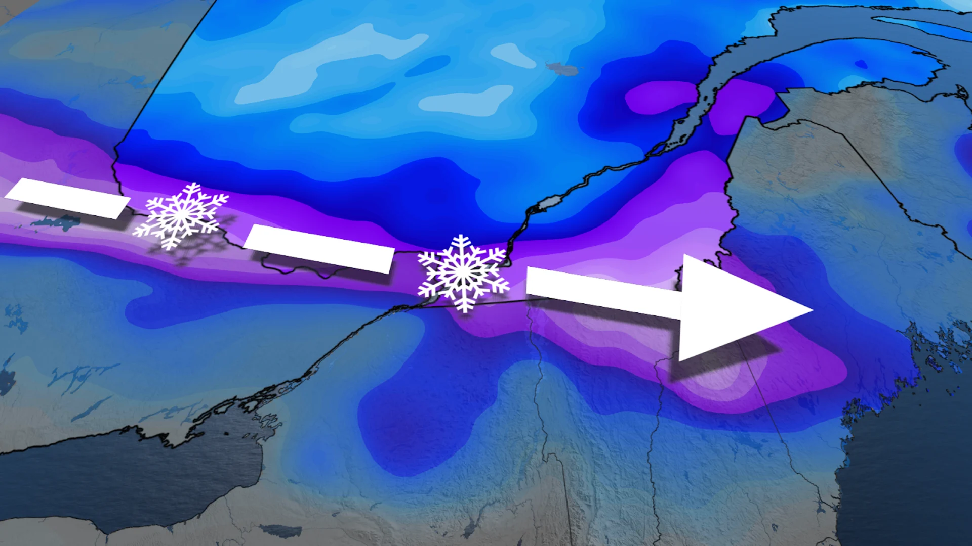
This weekend: Back-to-back systems push heavy snow, ice risk into southern Quebec
Snow will begin to push into the province on Friday night, with the heaviest snow falling Saturday morning. Peak snowfall rates are forecast to reach 2+ cm/h as the snow spreads eastward into the afternoon.
We could also see some ice pellets coat the ground along the Ontario and United States borders, which will make roadways even more slippery and hazardous.

Further north, around Montreal, we'll see heavy snow significantly impact travel conditions. While travel is not recommended in and around the city during this event, if you must go out, prepare for hazardous winter driving.
DON'T MISS: Saturday sunrise solar eclipse set to wow eastern Canada
A heavy swath of 10-20 cm of snowfall is forecast by the time we see a break between systems late Saturday, although we could see the heaviest snow shift more northward than expected due to the uncertain nature of the storm.

By Sunday afternoon we will see a second system move through the Great Lakes region and into Quebec. This storm will likely bring an icy mess to the region, including Gatineau and Montreal, before transitioning into rain as it quickly exits on Monday.
As this system is a little farther out, there is a bit more uncertainty as to its exact track and the type of precipitation it will push into the province. The track and speed of the storm will be the determining factor in how much ice we see.
Stay with The Weather Network for more forecast information and updates on your weather across Quebec.