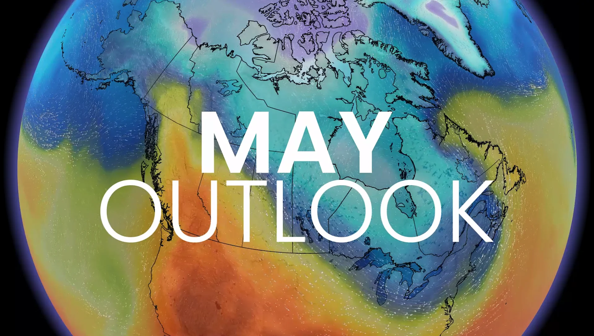
Sudden summer or sputtering spring: Which side are you on this May?
A stagnant pattern through much of May will divide Canada between sunny warmth and a damp chill
April is behind us and the unofficial start to the summer season is right around the corner. Will the atmosphere oblige?
Your perception of the May ahead will heavily depend on where you live across the country.
A significant divide in the pattern is likely to develop and stick around through most of the month.
DON'T MISS: Sneak peek: The summer pattern Canada isn't expecting
April was a cooler month overall, with some caveats
Overall, temperatures across Canada came in on the cooler side this past month. Pockets of near-seasonal readings built right around the country’s major population centres, though, so the overall picture is a bit of a mixed bag.

Significant bouts of wintry weather on the Prairies, combined with relentless heavy rainfall across the Great Lakes, reinforced the perception that April was a chilly, dreary month despite what the averages have to say.
What can we expect into May?
Split screen develops across Canada in May
The pattern expected to settle across Canada for the majority of the month will see significant ridging over the West Coast while the eastern half of the country endures persistent troughing.

RELATED: Who gets the best of summer? The drivers behind Canada’s forecast
Forecasters don’t see a changeable pattern through May, with the ridge/trough sequence relaxing and reloading through the month. This means that, for the most part, what you see is what you’ll get for several weeks.
Western Canada expecting warmer conditions
Ridges generally bring above-seasonal temperatures to communities under their influence. This means that we’ll continue to see spells of unseasonable warmth build into British Columbia, Alberta, and the Yukon.

A warmer and drier pattern will increase concerns for an early start to the wildfire season throughout Western Canada. The only bright spot is that the northern Prairies are well-watered and frozen, which may serve to reduce the wildfire threat there.
RELATED: El Niño may hand Western Canada a warm, dry summer
It’s not all bad news for British Columbia, either, as we may see beneficial rains sweep into the province during periods when the overall pattern relaxes.

Across the Prairies, a dry pattern overall will be favourable for field preparation, though this is climatologically a dry time of the year.
The Prairies could still see periods of beneficial rain and snow as systems slide around our western ridge. Agricultural interests will also have to watch the continued threat for freezes as the growing season kicks off.
Cooler, active pattern likely across the East
Sharp ridges in the west usually support equally potent troughs in the east.

Troughs are known for their cooler-than-normal temperatures and unsettled conditions. This is the dominant pattern expected from eastern Manitoba to the Maritimes for much of May.
RELATED: Eastern Canada may endure a rocky, changeable summer ahead
It’s important to remember that average temperatures steadily increase through the month, so “below-average” isn’t quite as miserable this time of year compared to, say, January.

But temperatures more often in the lower to middle teens will prove disappointing to folks who’d hoped for an early start to summer. This will also prevent the lakes from warming up, which is an added bit of unwelcome news for vacationers and long weekenders.
An active jet stream will also favour frequent systems moving from the Great Lakes to the Atlantic provinces. On the bright side, we’ll see a lower risk for torrential rainfall and severe thunderstorms as Gulf moisture will struggle to enter the region.