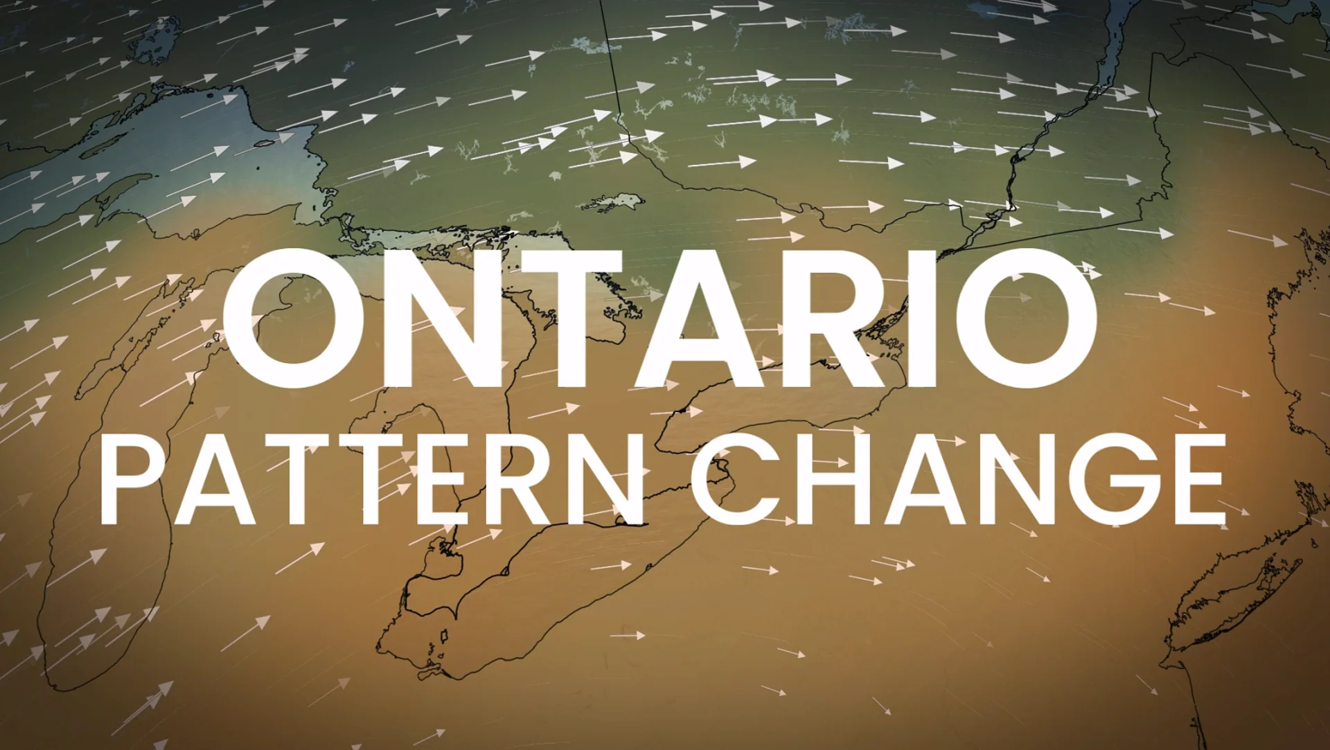
Late warmup sends temperatures up to 15° above normal across Ontario

Is this winter weather here to stay? Warm-weather lovers can breathe a sigh of relief because temperatures are forecast to rise once more across all of Ontario next week.
Northern Ontario has already felt winter's chilly entrance, but parts of southern Ontario only got their first taste of winter on Friday, with some lake-effect flurries lingering into Saturday.
In fact, Toronto's Pearson Airport (YYZ) recorded a low temperature of -0.1°C on Thursday night, marking the first time the city has had temperatures below freezing since May 3 earlier this year. With the wind chill, it actually felt more like -4.
SEE ALSO: When should you switch to winter tires? Provincial breakdown, here
Typically, we see Toronto record its first zero-degree reading around mid-October. If the freezing temperatures had held off for one more day, this year would've tied for the latest zero-degree reading of the season on record.
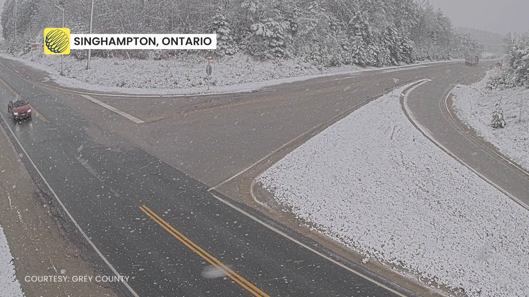
But before that, temperatures were so above-seasonal that this cooldown was actually not very far from temperatures we would typically expect in mid-November. So, is this what we can expect to see for the rest of the month? No.
Another remarkable stretch of fall warmth and dry conditions is forecast to dominate across Ontario over the next several days. Thanks to a persistant upper-level troughing pattern over Western North America triggering the development of a strong ridge over the east, we expect to see mild air be pulled in from the south.
Could we see 20°C in November again?
Seasonal temperatures rapidly fall through November as we see a shift into meteorological winter, but this mild airmass forecast to sit over Ontario will bring temperatures over 10 degrees above seasonal at times across much of the province.
Northern Ontario will especially be thrown for a loop as temperatures could be up to 15 degrees above seasonal at times over the coming days.
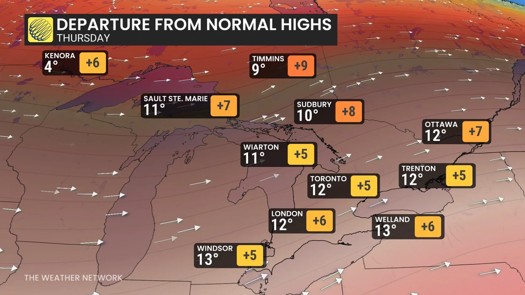
Temperatures are forecast to spike by Thursday across southern Ontario, with daytime temperatures in the low teens forecast along the entire 401 corridor.
It's likely that temperatures will reach the mid-teens across extreme southwestern Ontario into next weekend, and we can't rule out a station or two approaching the 20-degree mark over the next ten days.
DON'T MISS: Historic El Niño nears its peak, months of impacts yet to come
Keeping an eye out for latest first snowfalls
Parts of northern Ontario have already seen their share of fall snow, as well as southern Ontario as of Saturday.
But not everyone across the province has seen that first snow of the season yet, despite December's rapid approach.
That includes the Ottawa region. The latest Ottawa has gotten its first snowfall was Dec. 1, 2024 with 2.2 cm of accumulation.
If this mild and dry pattern keeps up, it's very possible the nation's capital and other communities across the province could see new records set for the latest first snowfall this year.
Stay with The Weather Network for more information and updates on your forecast across Ontario.