Tropical Storm Isaias heads to make landfall in U.S.

The storm temporarily regained hurricane status, but it returns back to a tropical storm as it makes landfall.
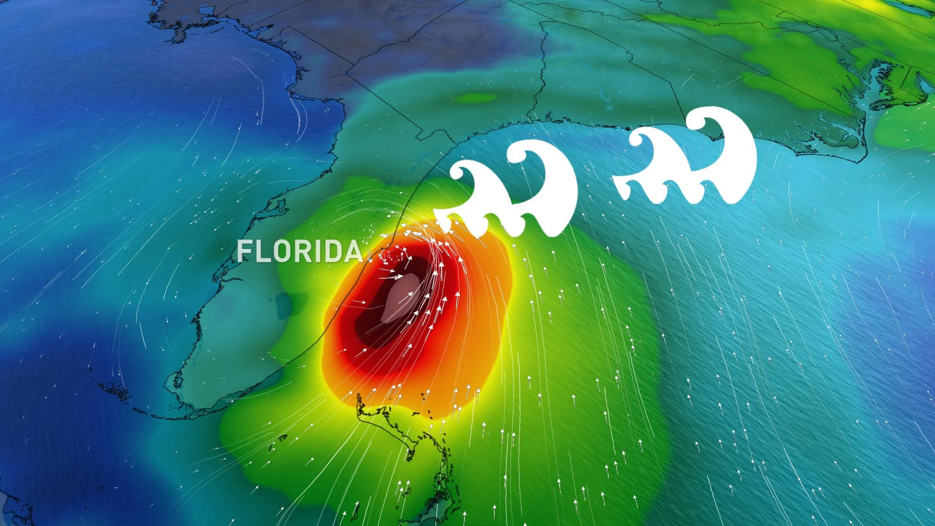
Isaias regained hurricane status late Monday and will weaken as it moves over the Carolinas and tracks north along the Atlantic Coast.
The wind speed is expected to reach more than 80 km/h along the coast from the Carolinas, through NYC and into New England.
The heaviest rainfall will be along the eastern slopes of the Appalachians from Virginia to Vermont, where locally 8 inches of is possible by Wednesday.
Currently, there are 52 million people are under a tropical storm warning.

SEE ALSO: Humidity, heavy rain expected from Isaias remnants in Atlantic Canada
"Heavy rainfall will result in flash and urban flooding, some of which may be significant in the eastern Carolinas and the mid-Atlantic, through midweek along and near the path of Isaias across the East Coast of the United States," says the NHC.
"Widespread minor to moderate river flooding is possible across portions of the Carolinas and the mid-Atlantic. Additionally, quick-responding rivers in the southern Appalachians and Northeast will be susceptible to minor river flooding."
Beyond, the storm a track that may take its eventual remnants into the mainland to affect parts of Atlantic Canada and Quebec Wednesday and Thursday.