Remnants of Isaias to impact Canada, heading to Quebec Tuesday

Though much weaker than its initial peak strength, the remnants of Tropical Storm Isias will still have some impact on Canada's weather in the mid-to-late week.
Tropical Storm Isaias, once a Category 1 hurricane, is gradually making its way up the U.S. East Coast, bringing copious rainfall as it goes. The track of the storm appears to be heading inland to impact parts of eastern Canada.
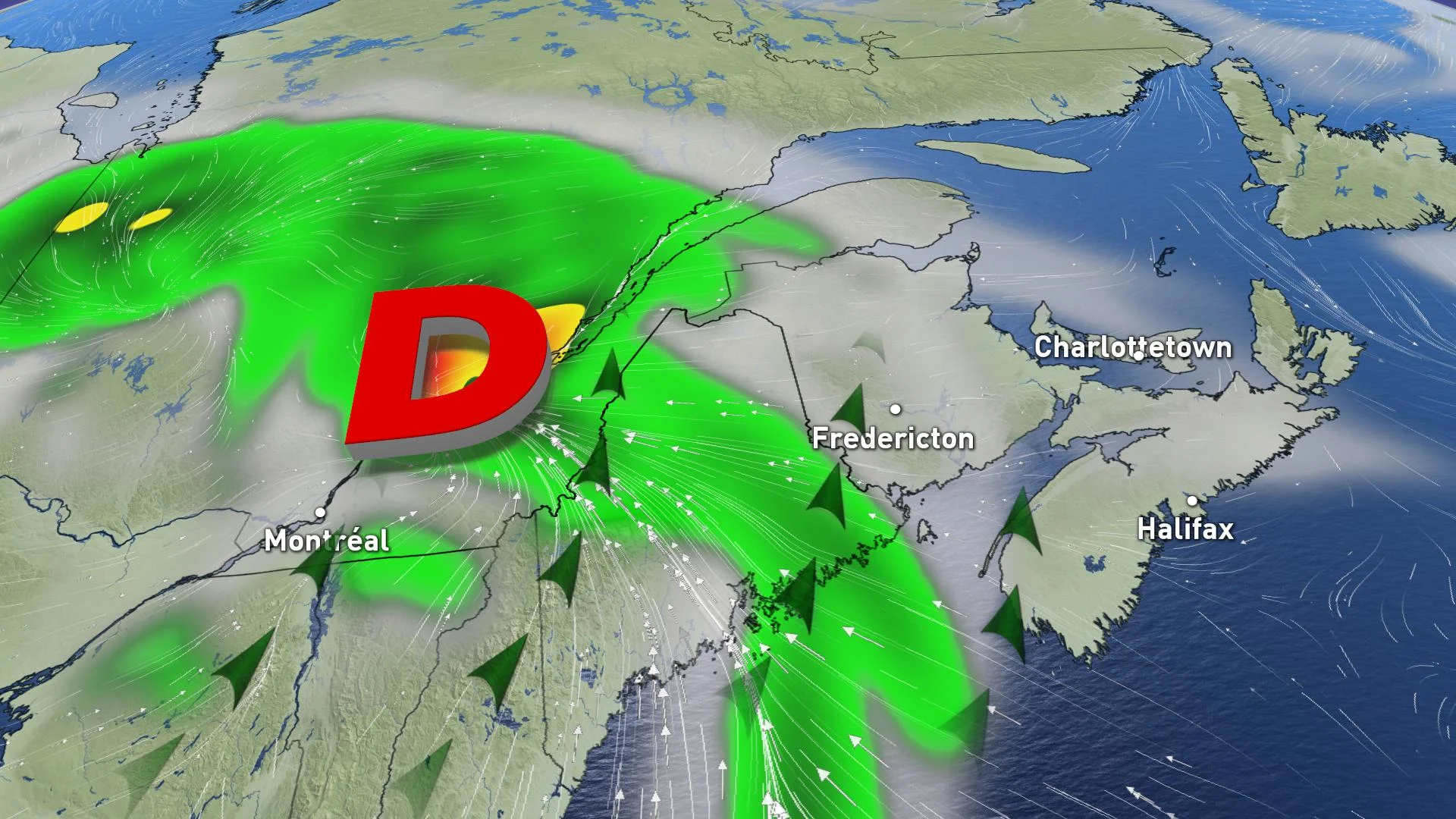
By Tuesday morning, the effects of Isaias will occur in southern Quebec. This is due to its outer bands getting pulled into the upper trough, which also brought severe storms to the lower Great Lakes over the long weekend.
Heavy rain will continue through Wednesday morning before moving into northern Quebec. Current models are putting the heaviest swath of rain over the Eastern Townships and along the mouth of the St. Lawrence where 50-70 mm is expected.
These remnants look like they will pass through Quebec and the Maritimes, having some residual impact on Newfoundland by Thursday.

There is considerable uncertainty about the exact track and intensity scenarios, so stay tuned with the forecast as we monitor this situation and the expected impacts.