PHOTOS: Travel virtually impossible as B.C. digs out from snow wallop

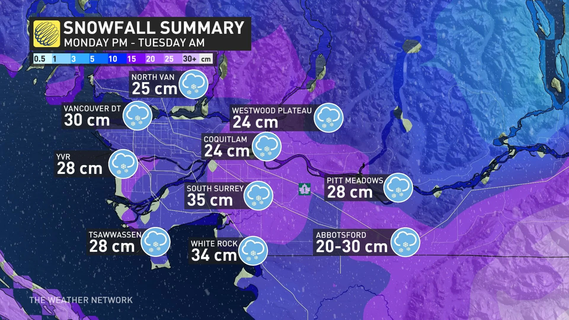
More than 20 cm of snow was recorded in parts of southern B.C. Tuesday morning.
Southern B.C. is experiencing a significant snow event after a low-pressure system hit Monday night, creating travel hazards and widespread cancellations and closures by Tuesday morning. In fact, residents across the Lower Mainland were told just to stay home and wait out the storm early Tuesday as conditions quickly deteriorated.
As of 10 a.m. Tuesday, Victoria International Airport had already reported 35 cm of snow, and Vancouver International Airport reported 28 cm.
Other significant totals reported so far include 35 cm for South Surrey, 34 cm for White Rock, 30 cm for downtown Vancouver, 28 cm for Pitt Meadows and Tsawwassen, 25 cm for North Vancouver, and 20-30 cm for Abbotsford.
SEE ALSO: Triple-dip La Niña and polar vortex to deliver a frigid start to winter
The storm forced "mass cancellations" overnight at Vancouver's airport, with several planes full of passengers stuck sitting on the tarmac for hours on end.
B.C. Ferries had also cancelled sailings on all of its major routes between Vancouver Island and the Lower Mainland.
Here's a look at the Tuesday morning situation in photos - and you can read the latest updates about this system here.
WATCH BELOW: Passengers stuck for 12 hours as snowy conditions halt Vancouver flights
VIDEO: Tricky road conditions in Burnaby
VIDEO: Snow piles up in Nanaimo
The snow is a preview for the rest of the country, landing a few days before Christmas. Currently, about 90 per cent of Canadians are expected to see a white Christmas this year.
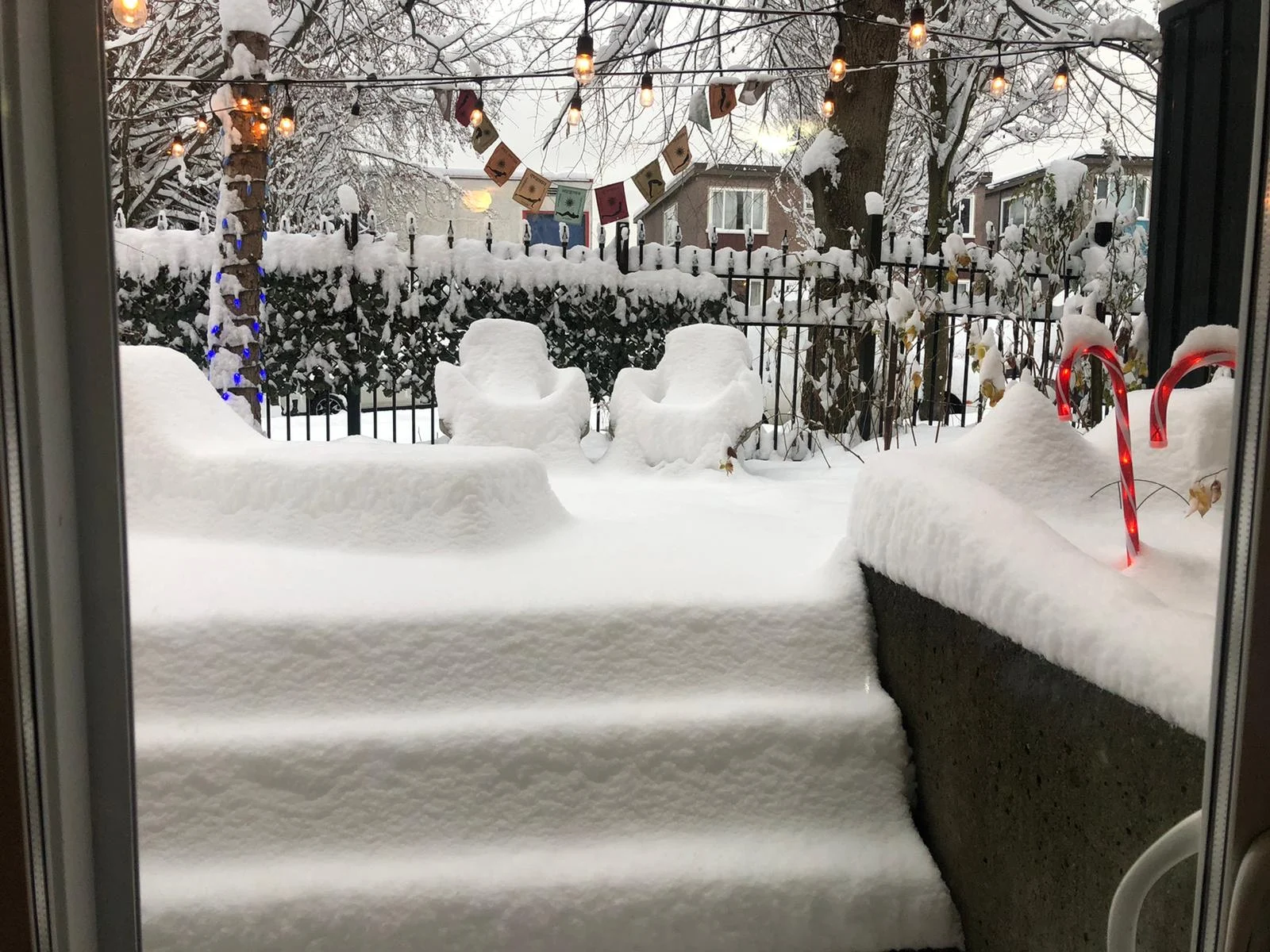
Thumbnail image courtesy: Collette Mrazek, taken in Vancouver, B.C.