High pressure helps to fuel prolonged dry spell in Atlantic Canada

The Maritimes may spend nearly a third of the month in dry weather and sunshine as we close out September
September is nearing an end, but not even a smidge of rainfall is on the horizon for the Maritimes, for at least another week.
Why is that?
RELATED: Rain, rain, go away? Ontario, Quebec face remarkable dry spells
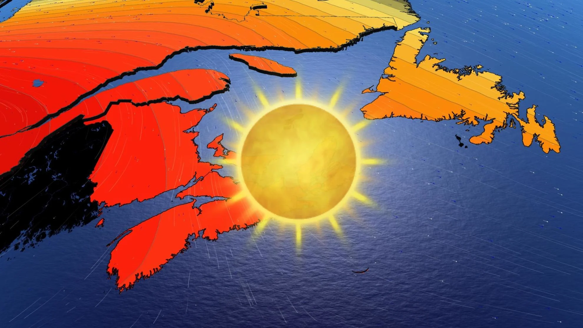
A sprawling ridge of high pressure over Hudson Bay has acted as a weather shield, keeping rain out of the Maritimes for the past while, even sparing the region from Ophelia's remnants.

After Lee brought widespread rain to the region, with a couple of other lows that followed afterwards, conditions have remained quite dry.
So, when can we expect fall showers?
The answer is...not for a while. While one ridge meanders over into Atlantic Canada through this week, another builds behind it come this weekend. Long-range models indicate we could be in for another seven to ten days of no rainfall. Meaning this dry end to September may spill into the beginning of October as well.
This stretch of dry weather could be the longest of the year for many places like Halifax and Fredericton.

With the lack of cloud cover ridges offer, overnight lows may dip to the low single digits through the work week, calling for extra layers in the mornings and evenings.
But through the daytime, enjoy the sunshine and seasonably-warm temperatures.

October may have other plans. Look out for our October outlook on the first of the month.
With files from Matt Grinter, a meteorologist at The Weather Network.