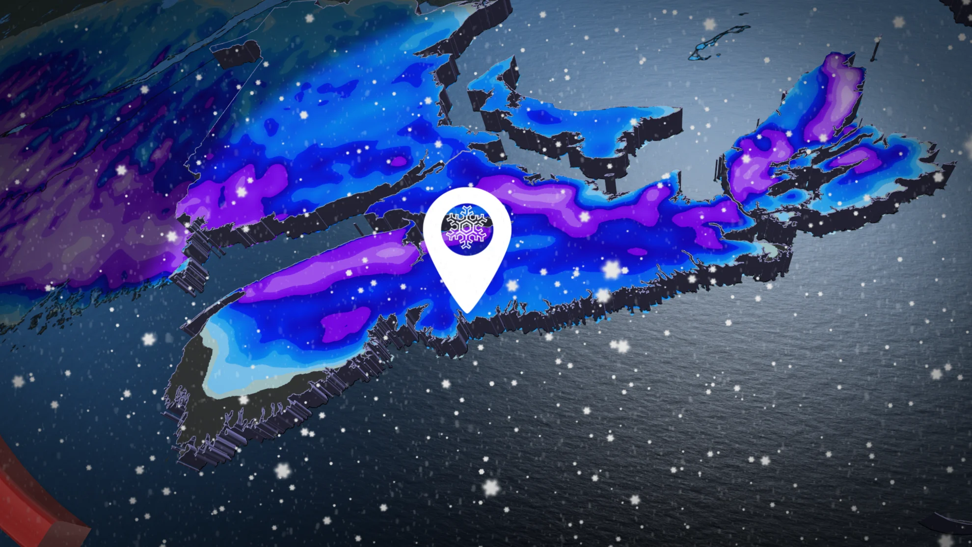
Heavy snow prompts warnings for the East Coast, risk for 20 cm to start the week
School cancellations and power outages reported as a potent winter storm moves through Atlantic Canada Monday
A moisture-laden storm is spreading heavy snow from Ottawa to Newfoundland to start this first full week of December, with significant impacts already being reported across parts of the Maritimes early Monday.
Several mainland schools in Nova Scotia closed their doors first thing Monday morning, as the winter storm makes its way across the region. By 7 a.m. AT, Nova Scotia Power had reported that about 18,000 were left in the dark, as well.
Those with air travel plans are being urged to check ahead, and to leave plenty of extra time before heading out. Halifax airport had already picked up 12 cm of snow as of Monday morning.
WINTER 2024: El Niño will play a critical role in the weeks ahead
Monday into Tuesday: Brace for travel delays as snow piles up
It's a classic early-winter setup for the region. A system sliding across New England is pulling in plenty of Gulf moisture from the south, which is running against cold air locked at the surface across the eastern half of Canada.
The snow began pushing into the Maritimes through the second half of Sunday, filling in across the region throughout the day on Monday. We'll see the system move toward Newfoundland late Monday into Tuesday, with a modest coat of snow expected on the Burin and Avalon Peninsulas.

The heaviest snow is expected to fall along the Bay of Fundy shores, and into central Nova Scotia through Monday afternoon, where 10-15+ cm is likely.
The Cobequid Pass is forecast to see close to 20 cm of snowfall by the time all is said and done.

Heavy wet snow will make travel difficult for commuters, with snowfall rates up to 2-3 cm per hour expected at times.
The south coast of Nova Scotia, as well as sections of southern Cape Breton, may tip a few degrees warmer, so a rain snow mix may limit totals with this event.

WATCH: Travel delays and power outages as heavy snow hits the Halifax area
Southern sections of New Brunswick may see 15-20 cm of wet snow as well, including for the City of Saint John, Fredericton and Moncton, with over 10 cm of snow expected over the next 24 hours.
Newfoundland's Burin and Avalon Peninsulas are expecting 5-10 cm, with snow falling heavy at times.
As this system departs, a northerly flow will develop, which will prompt the threat of some scattered and light sea-effect snow into Tuesday.
Winds won’t be as strong for this system, gusting between 40-60 km/h. That could still make for blowing snow and poor visibility on the roads at times, however.
Plan ahead for potential travel issues on the road through Monday and Tuesday, and stay up-to-date with the potential for delays and cancellations throughout the region.
Stay with The Weather Network for the latest on this wintry forecast across Atlantic Canada.
