Heavy snow moves into B.C. as dangerous cold locks in for the holidays

Heavy snow moves across Vancouver Island and continues to track into the Lower Mainland through Christmas Eve.
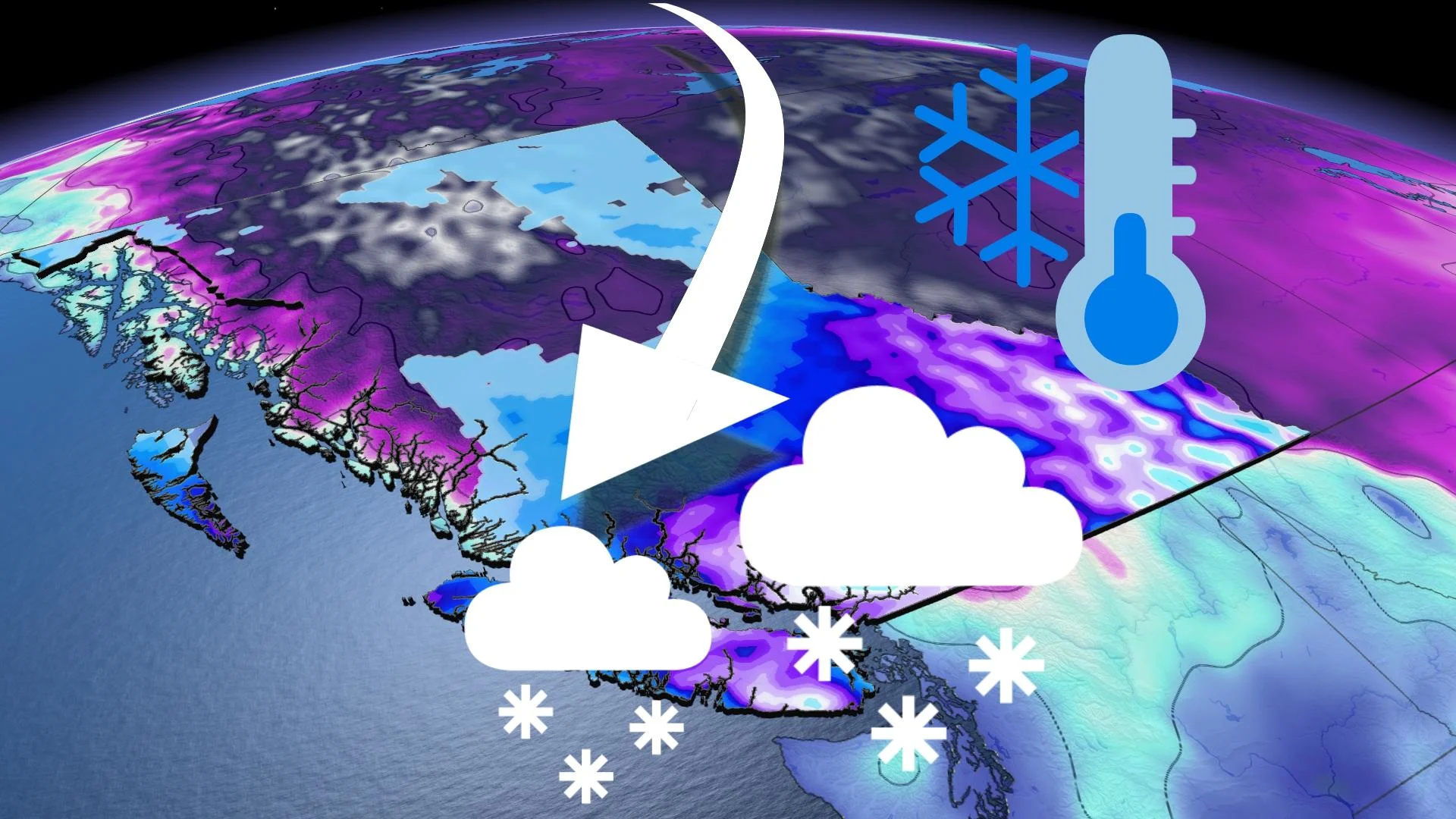
There'll be no relief for several days yet from this very active storm track that will send back-to-back systems bringing rain and snow to the province. The current round began Thursday evening, and unsettled conditions continue right through Christmas weekend. Adding to the wintry mix will be some dangerously cold Arctic air en route to the South Coast, bringing one of the coldest Christmases and Boxing Days on record for the Vancouver area. More on the timing and impacts, below.
MUST SEE: Canada's 2021 Holiday Snow Report
FRIDAY THROUGH SATURDAY: ROUNDS OF RAIN AND SNOW PERSIST, DANGEROUSLY COLD CONDITIONS SETTLE IN
The previous system was scarcely in the rearview mirror before the next round of rain and snow hove into view late Thursday. Initially, this system will bring a mix of rain and snow for areas closer to the water, with primarily snow for inland areas and higher terrain, with even areas near the coasts set for a few flakes, thanks to freezing levels near sea level.
A special weather statement is already in effect for the Metro Vancouver area and across Vancouver Island for this next swath of heavy snow and colder temperatures set to lock in for Christmas, with snowfall and winter storm warnings in effect at higher elevations into the Interior.
After a short lived break late-day Friday, another round of snowfall will make its way across the region through the overnight and into early Saturday.

"Snowfall will be heavy at times for the Lower Mainland and Vancouver Island and will continue right into Boxing Day on Sunday as well," says Weather Network meteorologist Jessie Uppal.
In all, between 15-30 cm of snow is forecast for Metro Vancouver through Sunday, with 30-40 cm expected from Abbotsford to Hope and across Vancouver Island as well. Nanaimo may see snowfall amounts exceed these totals with some Strait enhancement.
UNUSUAL AND EXTENDED STRETCH OF ARCTIC AIR WITH POTENTIALLY RECORD BREAKING CHRISTMAS COLD
In addition to the heavy snow, Arctic air and dangerously cold conditions will reach the South Coast this weekend. This could bring one of the coldest Christmases and Boxing Days on record for the Vancouver area.
A daytime high of 1°C is currently forecast for Vancouver on Saturday (Christmas Day). The coldest daytime high recorded on Christmas for the city was -1.7°C tied in 1924, 1964 and 1971.
This extraordinary stretch of frigid weather expected for the South Coast will continue through the end of the month, with additional opportunities for snow, rain and even mixing at times.

Check back for the latest forecast updates across British Columbia.