Heavy snow in eastern Ontario likely to hamper Monday commute
Brace for significant delays into Monday morning as a hefty blanket of snow falls on eastern Ontario through the overnight hours
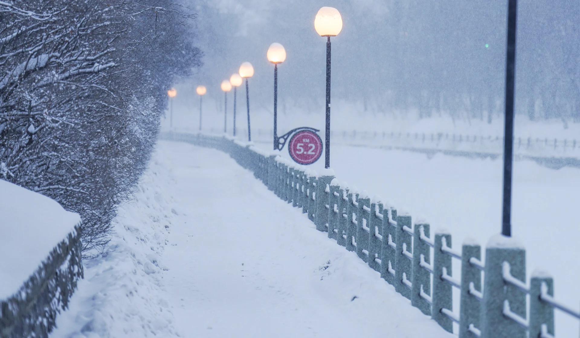
The heaviest snowfall of the season for the National Capital Region will make Monday morning’s commute a headache as 15+ cm of wet snow clogs roads across the region.
Snow and freezing rain crept into the area through the day Sunday. Cold temperatures will allow precipitation to change over to all snow as the evening and nighttime hours progress, leaving behind a healthy coating of snow throughout eastern Ontario.
WINTER 2024: El Niño will play a critical role in the weeks ahead

A low-pressure system moving through New England is in the perfect position to spill ample moisture north of the border.
Mild southerly winds tried to carve away at the cold air locked in place over eastern Ontario, allowing for a period of freezing rain, especially along and north of Highway 7.

Cold air will eventually win out as the system moves east, allowing precipitation to change over to all snow across eastern Ontario.
Reduced visibility is possible during heavy precipitation as snowfall rates will exceed 2-3 cm per hour at times. Leave plenty of time for slow going and snow-covered roads if you have to travel Sunday night or during the Monday morning commute.
All told, we’re looking at widespread snowfall totals of 15-25 cm stretching from the heart of cottage country east toward the National Capital Region. Folks in and around Ottawa could come close to seeing 20-25 cm of snow by the end of the storm.
Snowfall totals will dramatically decrease south toward Lake Ontario, where warmer temperatures will keep mixed precipitation around for longer. 5-15 cm of snow will fall from Barrie east toward Brockville, with a conversational dusting possible along the lakeshores.

The snow will largely miss the Greater Toronto Area, providing maybe a dusting at most to areas away from the city proper.
We’ll see snow wind down through the morning hours Monday as the low-pressure system pulls east toward the Maritimes.
This will be a sticky, wet snow that clings to trees and power lines, increasing the potential for power outages in areas that see the greatest accumulations. It’ll also make it difficult to shovel, so keep your cardio health and muscles in mind before heading out to clear off sidewalks and driveways.
The wet snow could also lead to airport delays and possible cancellations as crews will have to work to clear the sticky snow off aircraft for a safe departure.
Plan ahead for potential travel issues on the road Sunday and through Monday, and stay up-to-date with the potential for delays and cancellations throughout the region.
Header image submitted by Dzung Tran.
Stay with The Weather Network for all the latest on this snowfall event in eastern Ontario.