Effects of potent low to subside in Quebec, but travel remains tricky
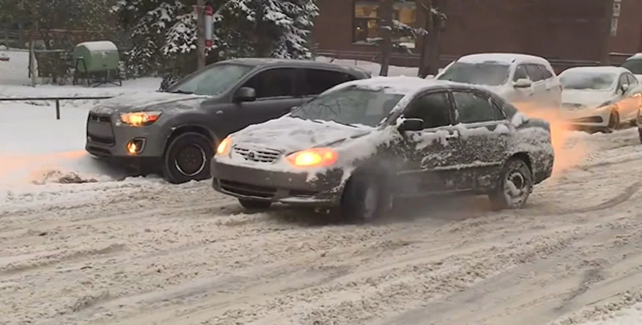
Impacts from a potent storm will be winding down in Quebec Sunday, but travel will remain difficult due to blowing snow.
As the significant Texas low continues to march east across Canada, its effects on Quebec will subside through the day Sunday, with heavy snow lingering through the evening hours in eastern sections. Some areas could see a further 15-20 cm in accumulating snow by the time the system departs in the overnight. Strong winds will create blowing snow, making for arduous travel in the eastern regions. Monday will offer a considerable improvement, but there could be some wraparound flurries during the day, ahead of falling temperatures for Tuesday. More on what's left of the Texas low and what's to come next, below.
WEATHER HIGHLIGHTS:
Snow lasts into through the evening for more eastern areas; additional 15-20 cm for some
Wraparound flurries Monday, plummeting temperatures
Chance of snow from a U.S. system mid-week
SUNDAY: EFFECTS OF TEXAS LOW DIMINISH, BUT TRAVEL STILL PROBLEMATIC
Areas east and north of Quebec City is where the remaining heavy snowfall continues to fall Sunday, with an additional 15-20 cm expected for Sept-Îles and communities in the far east, while another 5-10 cm could fall in areas between Saguenay and Rimouski. Meanwhile, Quebec City will see freezing rain change over to rain near midday.

There are still winter storm and snowfall warnings in eastern Quebec, though are expected to gradually drop later in the day as conditions begin to improve.
Still, roads could be treacherous in some areas through the evening due strong winds causing blowing snow and poor visiblity. Conditions will improve overnight.
"Rapidly accumulating snow could make travel difficult over some locations. Prepare for quickly changing and deteriorating travel conditions," Environment Canada says in a winter storm warning for Baie-Comeau.
While the effects of the storm will ease off by the overnight hours, there could be some wraparound flurries Monday, though with no significant accumulations, accompanied by plummeting temperatures in the evening.
Daytime highs will drop several degrees to below seasonal values Tuesday, dipping into the minus single and double digits across the province.
LOOK AHEAD: POTENTIAL FOR MORE SNOW, MILD DAYS JUST BEFORE CHRISTMAS
Forecasters are watching the potential for a significant winter storm for the northeastern U.S., tracking well south of Quebec during the middle of next week. Models at this time suggest this will bring heavy snow to parts of the U.S. northeast, with the potential for light snow for southern Quebec.
"However, we will continue to closely watch this system, which could still track further to the north and have a more significant impact on southern Ontario and southern Quebec," says Weather Network meteorologist Dr. Doug Gillham.

Milder weather is expected to push back into the region during the final days leading up to Christmas, with the potential for a system or two during that week, as well.
"Therefore, whether or not we see a white Christmas will likely come down to the wire and depend on the exact track of a system right before Christmas," says Gillham, adding that system could either bring rain or snow to the region.
Be sure to check back for the latest updates.
