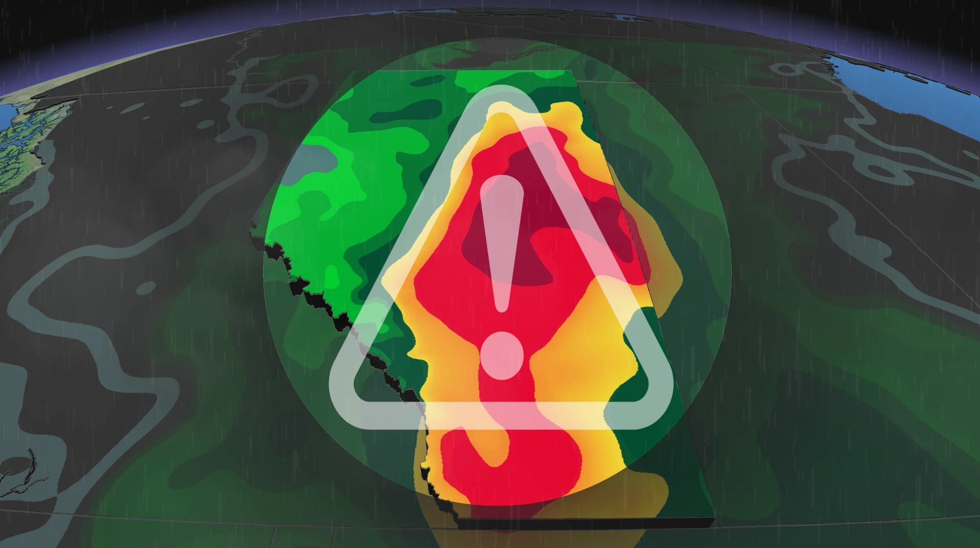
Flood risk rising in Alberta with significant rainfall

A long-duration rainfall event will bring steep totals to parts of Alberta into early next week
As a significant, long-duration rainfall event forms over Alberta, parts of the province could receive up to a month's worth of rain by early next week.
Some areas could receive more than 100 mm of rain over the coming days, raising the risk of flooding. Residents are encouraged to monitor forecasts and alerts as conditions evolve.
Alberta's 2026 Summer Forecast: Strong start, but with some concerns
Significant rainfall expected across Alberta
Scattered showers and thunderstorms will take place across Alberta on Saturday, with more widespread rain expected on Sunday.
A slow-moving low-pressure system will pull moisture north from the Gulf of Mexico, resulting in rain throughout the early part of next week.
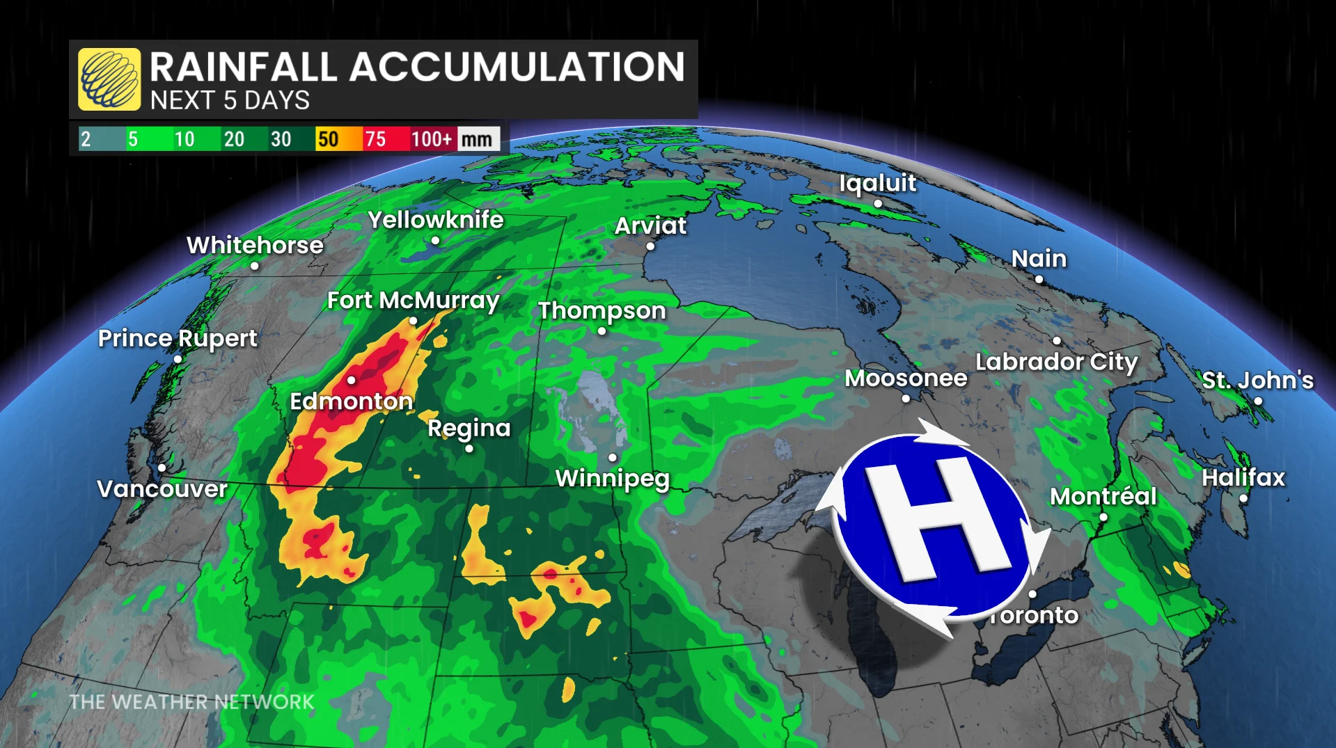
Rainfall amounts of 50 to 100 mm are anticipated in many areas, with some exceeding 100 mm and possibly reaching 150 mm.
The event follows a particularly dry May in much of Alberta. Some communities may receive more precipitation over the next few days than they typically do throughout the month of June.
In June, Calgary averages 112 mm of precipitation, while Edmonton typically receives 75 mm.
CHECK OUT: How the weather could be influencing your music taste
Snowpack adds to flood concerns
Some areas of the Rockies, such as Banff, Jasper and Kananaskis, continue to have above-average snowpack.
Heavy rain combined with warm temperatures may hasten snowmelt, causing more runoff into rivers and streams and raising flood concerns over the weekend and into next week.
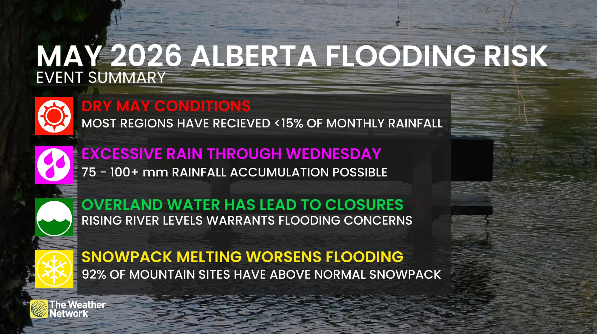
Flood watches are in effect in some areas and more alerts may be issued as the rainfall event progresses.
Stay with The Weather Network for all the latest on conditions across Alberta