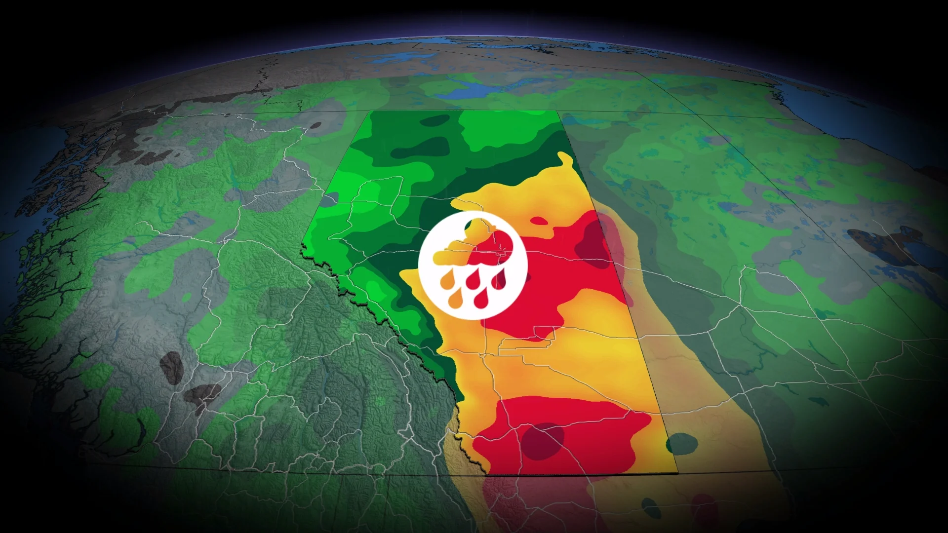
Flood risk rising in Alberta with significant rainfall

A long-duration rainfall event will bring steep totals to parts of Alberta into early next week
As much as a month’s worth of rain is on the way for parts of Alberta into early next week as a significant, long-duration precipitation event builds over the province.
Some areas could see more than 100 mm of rain over the coming days, an excess rainfall event that will raise the risk for flooding in some areas.
Pay close attention to alerts in your area in case of potential flooding.
Alberta's 2026 Summer Forecast: Strong start, but with some concerns
Significant rainfall on the way for Alberta
The weekend begins with an appetizer of scattered showers and thunderstorms over Alberta as a weak trough moves into the region.
We’ll see the main event arrive Sunday as an active storm track takes hold over the western Prairies.
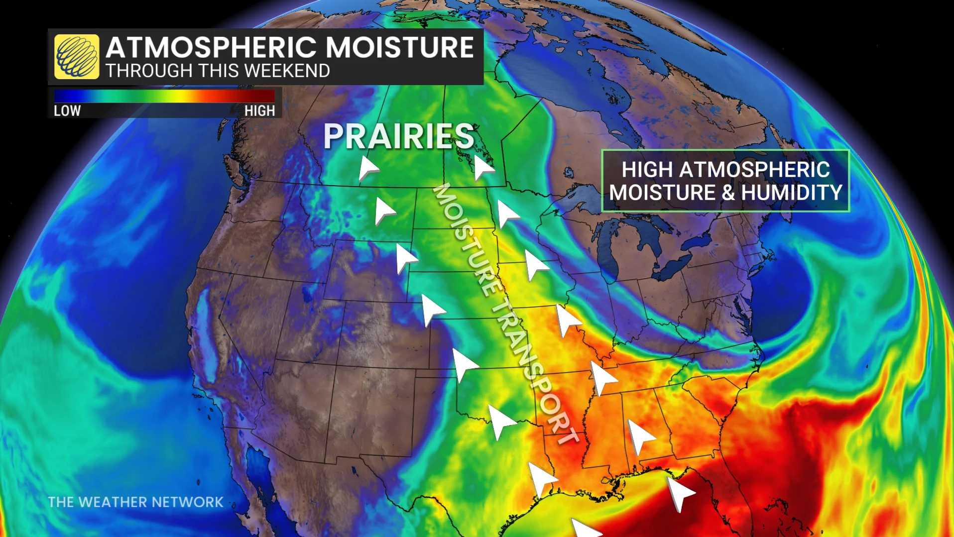
A low-pressure system south of the border will combine with higher-than-usual moisture straight from the Gulf of Mexico to fuel repeated rounds of widespread, heavy rainfall throughout Alberta. This system will linger into the early part of the workweek.
Overall rainfall totals of 50-100 mm are in the forecast, with some areas receiving 100-150+ mm of precipitation from this event. We’ve seen below-average rainfall so far this month, so this will be beneficial even with the risk for flooding.
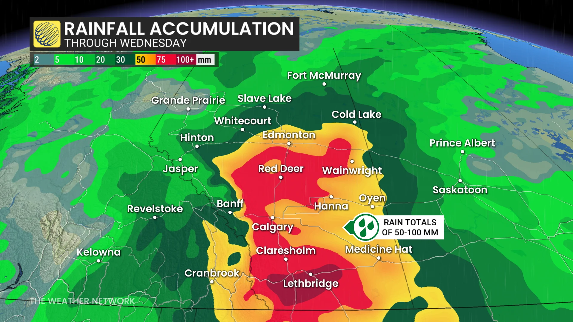
How much is a month’s worth of rain across the province? Calgary picks up 112 mm of rain in an average June, followed by 93 mm in Lethbridge, 76 mm in Medicine Hat, and 75 mm up in Edmonton.
Significant snowpack remains in parts of the Rockies, including Banff, Jasper, and Kananaskis. Alpine snowmelt and significant rainfall will raise flood concerns this weekend and into next week.
Flood watches are in effect along the Bow River flowing out of Jasper. Beware of additional flood alerts in the days ahead.
Stay with The Weather Network for all the latest on conditions across Alberta.