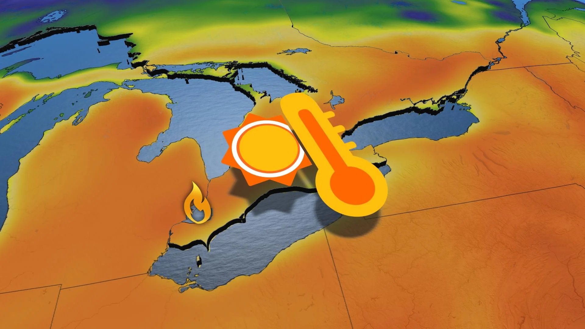
Fire risk in Ontario after notching Canada’s first 30C of 2023

Congratulations, Canada! You just saw your first 30°C of 2023. It won’t last long.
Just over a week after southern Ontario hosted the country’s first 20°C this year, Canada wasted no time notching 2023’s inaugural 30-degree temperatures on Thursday.
Peterborough and Ottawa both met that magical number beneath the brilliant sunshine on Thursday afternoon as unusually warm air bathed the region.
The above-seasonal warmth and dry conditions will lead to an increased risk for fires across much of southern Ontario into the weekend, until the next system arrives with rain and much cooler conditions.
DON’T MISS: Heat incoming? Two ways El Niño could affect Canada’s summer
Overachieving temperatures made it feel downright hot in parts of Ontario on Thursday as temperatures climbed into the upper 20s—and even cracked 30°C in a few spots.

Peterborough saw a high temperature of 30.6°C on Thursday afternoon, earning the distinction of Canada’s first 30+ reading this year.
Ottawa followed soon after with a surprise showing of 30°C. Toronto Pearson Airport just missed the mark, coming in a few tenths of a degree shy of 30 degrees.
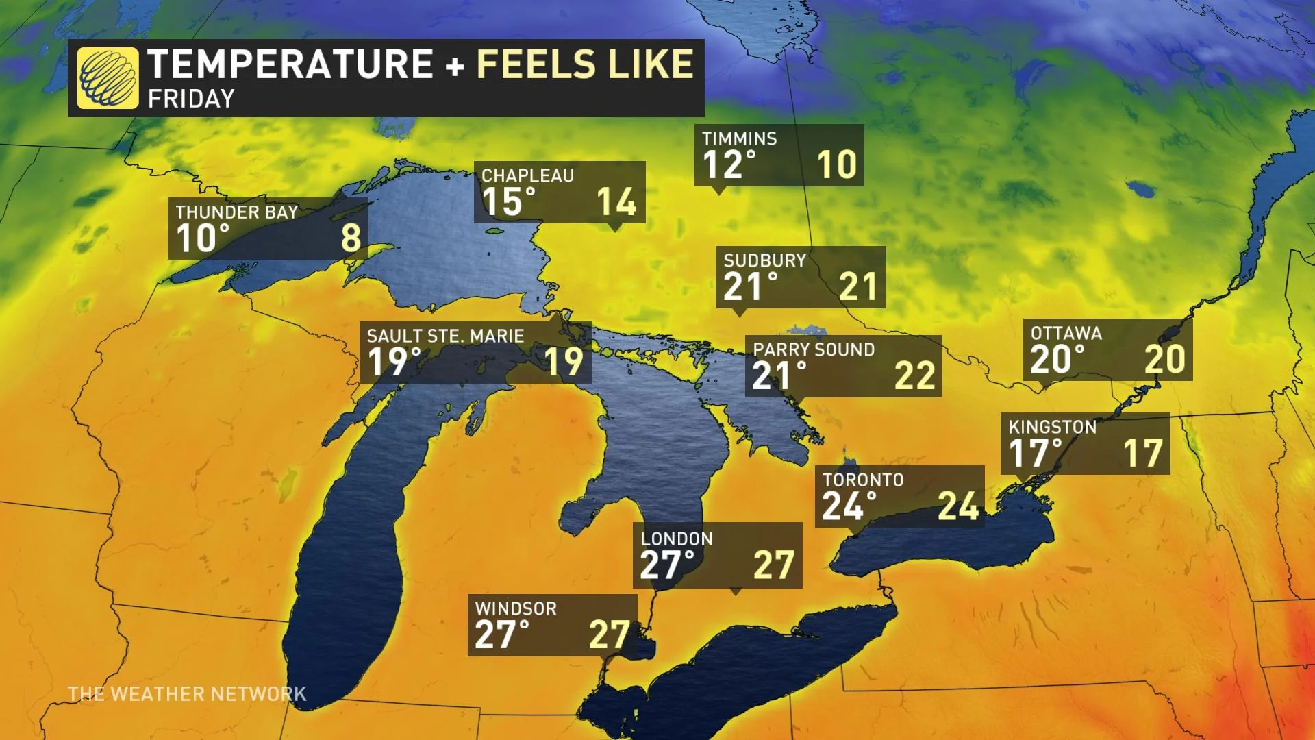
Friday will come in with another day of well above-seasonal temperatures for much of southern and eastern Ontario, though the 30-degree mark seems out of reach this time around.
A sudden surge of dry warmth is a welcome tease for folks counting down the days until summer, but there’s always a catch when it comes to unusual weather. This dry and warm air is also ripe for the spark and spread of wildfires.

The fire danger rating is firmly in ‘high’ territory across much of southern Ontario, extending up into cottage country. Conditions are such that any fires that do spark and spread out-of-control could be challenging for crews to contain, according to Natural Resources Canada’s fire danger index.
This pattern won’t last much longer. It’s April in Canada, after all, and the atmosphere will do what it can to try to revert to normal.
A low-pressure system approaching the Great Lakes will bring precipitation and much cooler temperatures by the start of the new workweek.
Cooler air wrapping around behind the storm will bring temperatures down in a hurry. Don’t be surprised by snowflakes through parts of southern Ontario and into cottage country. This potential could poke into the Greater Toronto Area with low temperatures dipping close to the freezing mark Tuesday night.
Stay tuned to The Weather Network for the latest on conditions across Ontario.