Feels like 28 this week? Hurricane Polo sends humid air into Ontario

‘Feels-like’ values near 28 in late September as Hurricane Polo’s moisture reaches Ontario
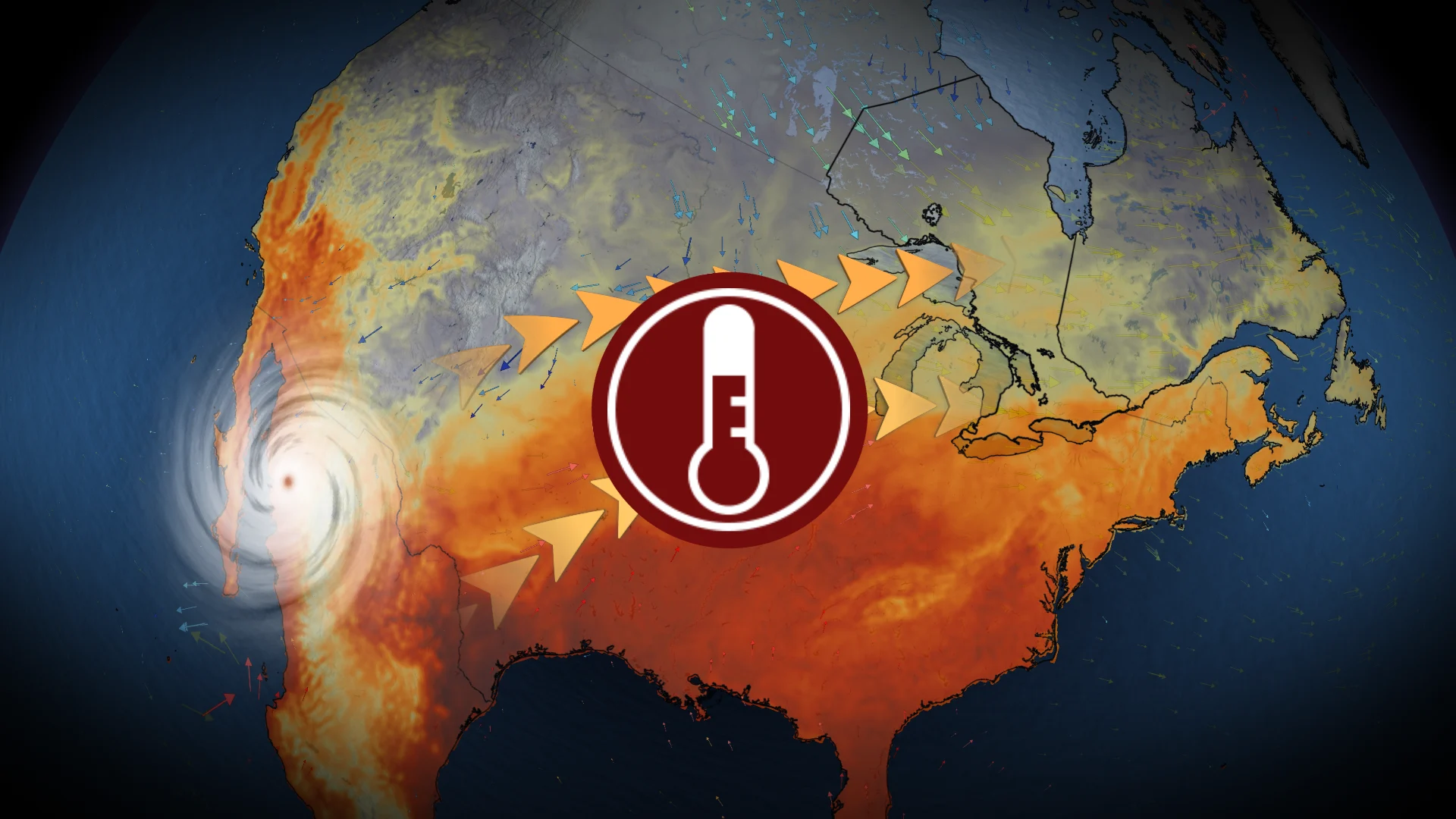
Moisture from Hurricane Polo, expected to hit Mexico’s Baja Peninsula early Tuesday, is set to extend across the United States and into Ontario by midweek.
DON'T MISS: Polo cements status as Pacific’s second-most intense hurricane
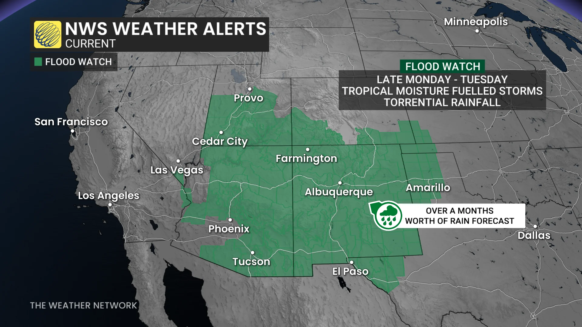
Flood watches have been issued for the U.S. desert states as tropical moisture fuels training thunderstorms. Some areas could see 50–100 mm of rainfall, an amount equal to months’ worth in a short time frame.
Humidex values soar with influence of Polo
Tropical air from Polo will surge into Ontario, making the final days of September feel more like summer across southern and eastern sections of the province.

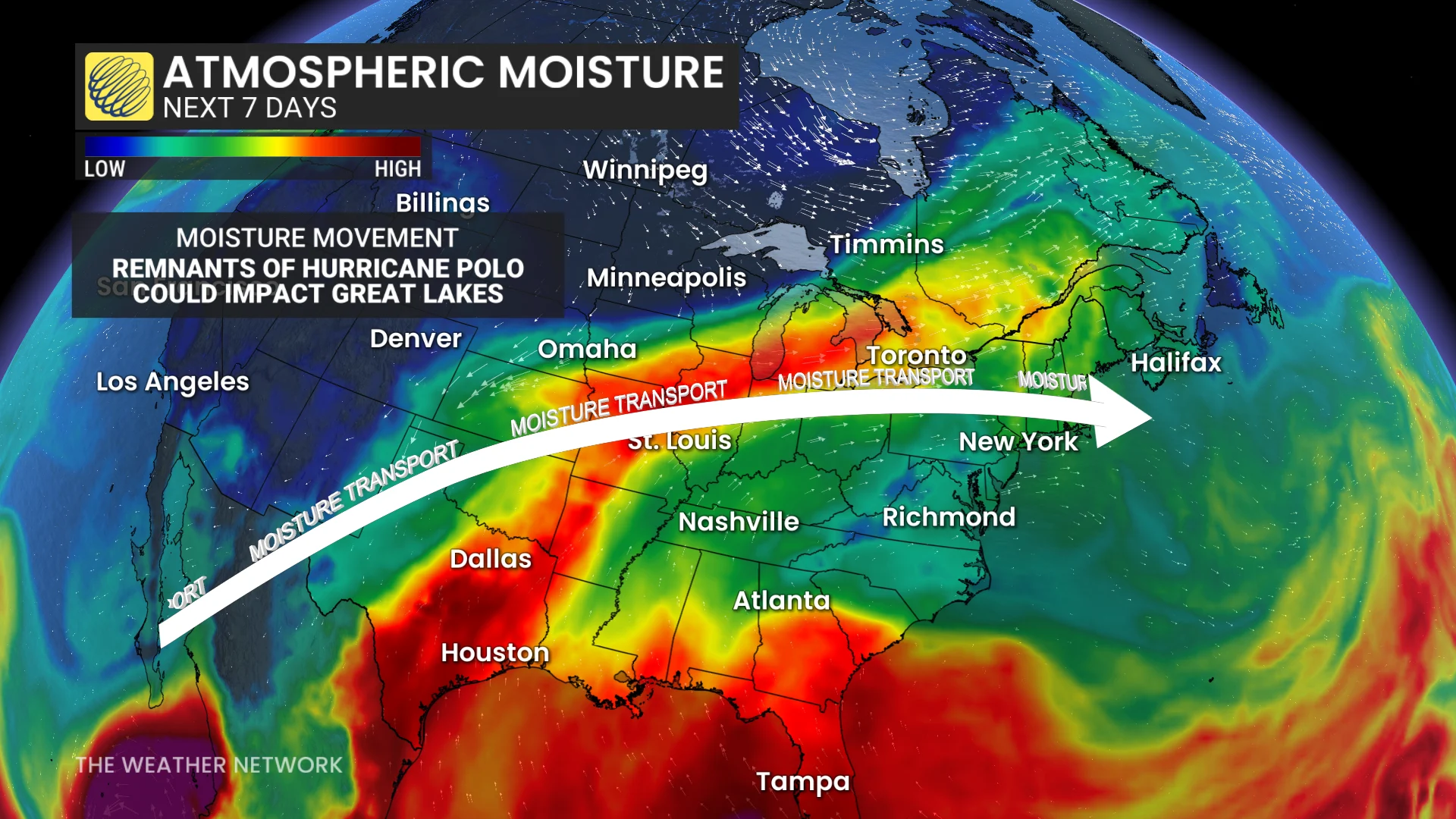
Communities including Windsor, London, Toronto, Ottawa, and Montreal are forecast to experience muggy conditions, with humidex values reaching 27–28 on both Wednesday and Thursday afternoons. The warm and humid conditions are driven by high atmospheric moisture moving from the Pacific, through the U.S., and into the Great Lakes region.
DON’T MISS: El Niño could delay persistent frost and hard freezes across Canada
Showers accompanying a passing cold front are expected to arrive Thursday evening, potentially ending Toronto Pearson Airport’s prolonged dry streak.
However, for the summer lovers, the warm spell will be short-lived, with October likely kicking off with a return to chilly air across Ontario.