Fall is in full swing as the first nor'easter of the season brews

The Eastern Seaboard may have skipped over the summer hurricane season, but there's no keeping fall nor'easters at bay.
It was a quiet summer across the Atlantic this year, with no hurricanes to stir up any trouble for folks living across the Eastern United States and Canada. Now, as temperatures begin to drop with the changing season, forecasters must keep an eye out for any late-season tropical activity as well as everyone's favourite messy weather: nor'easters.
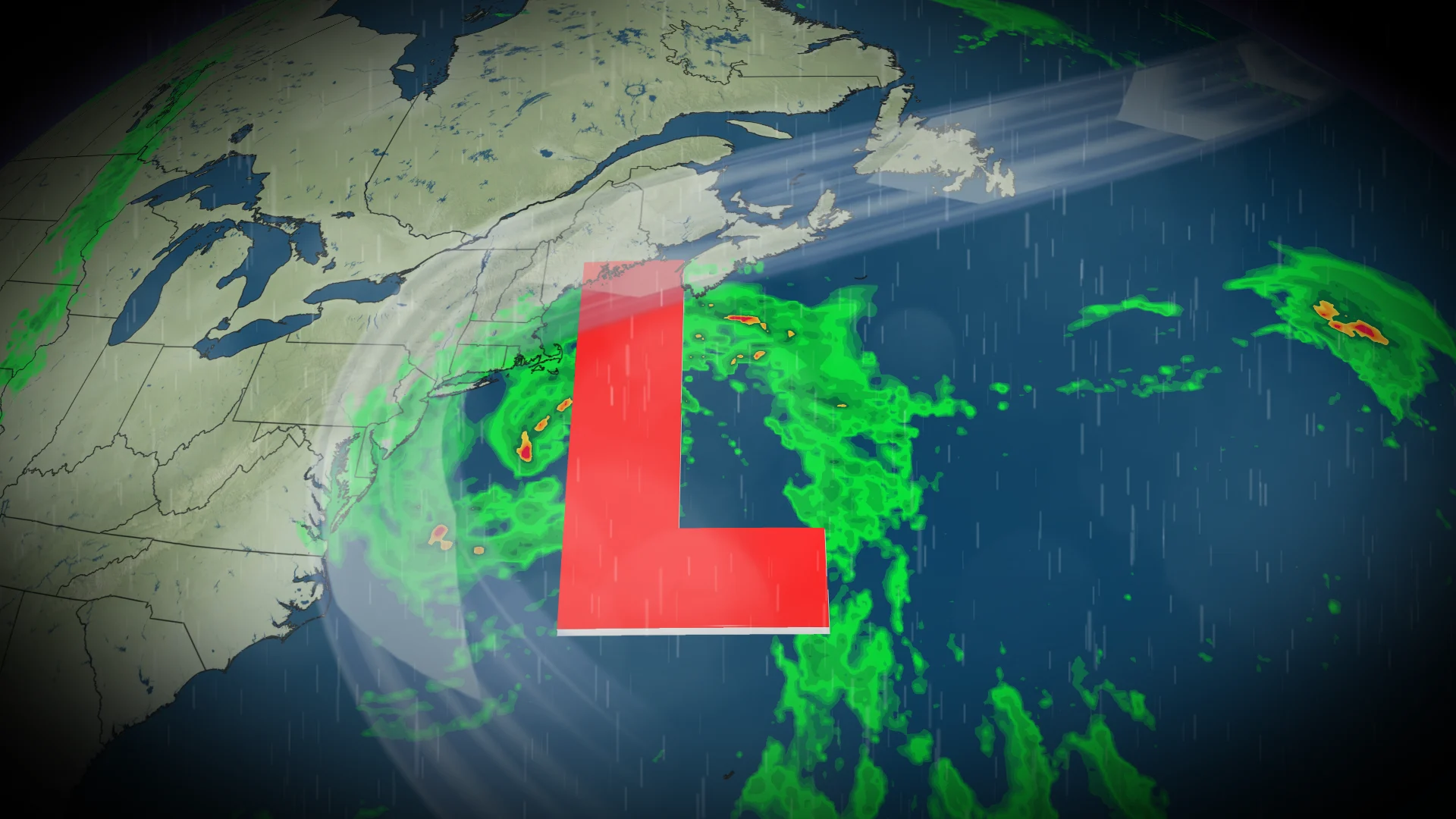
A broad area of low pressure is already beginning to bubble east of the Carolinas and is forecast to grow into the first nor'easter of the fall season.
SEE ALSO: Experts warn that new measures required to prevent flooding in N.S.
An area of strong high pressure over Ontario and Quebec will block the low from advancing north into Atlantic Canada for the first half of the week, but it is expected to erode and allow the system to strengthen and advance by the end of the week.
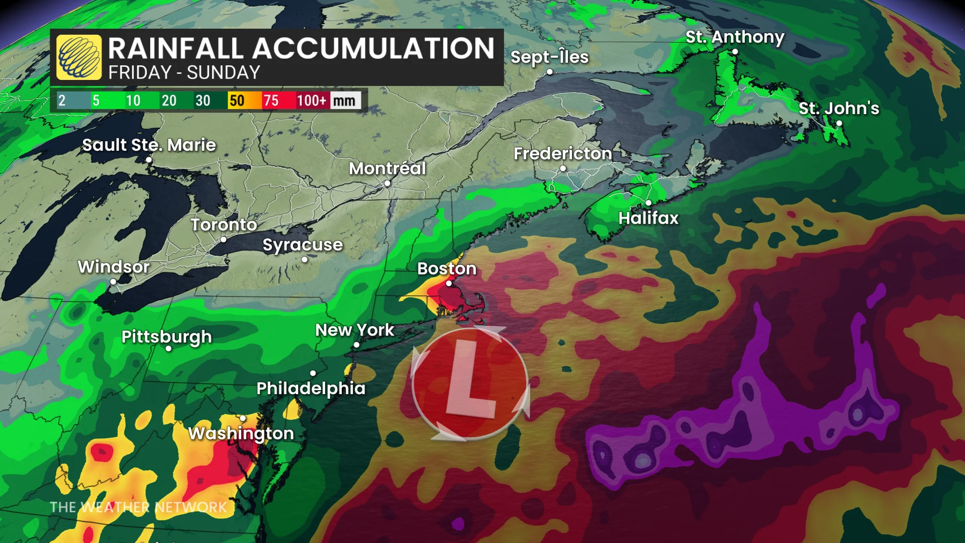
Strong northeasterly winds are forecast along parts of the East Coast ahead of the system, thanks to the steep pressure gradient formed between the two systems.
DON'T MISS: Atlantic Canada's hurricane-free streak in jeopardy. Could Fay be the first?
Folks heading out onto the Atlantic can expect to see increased rain showers and cloud cover throughout the week as the nor'easter develops. The showers and cloudy weather will likely also spread over the northeast and parts of the southeast United States.
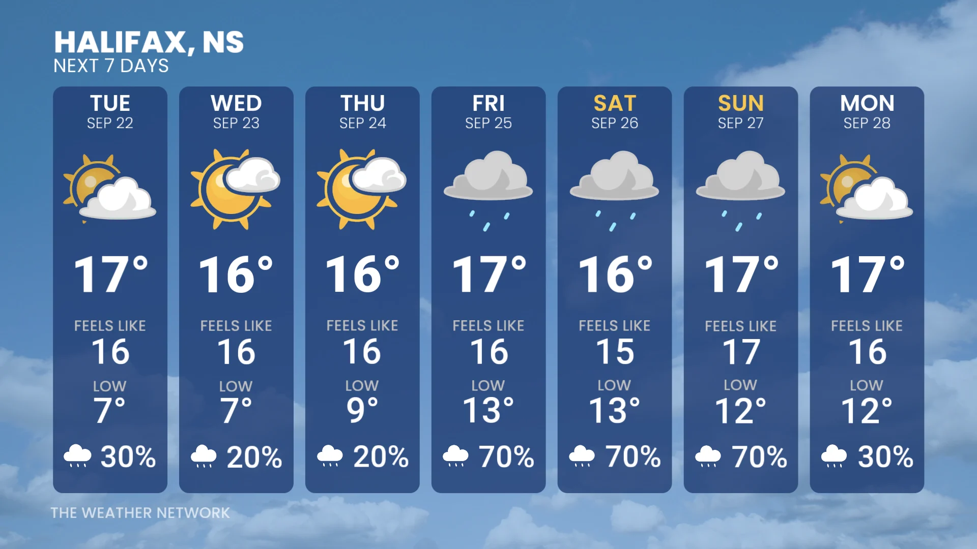
Meanwhile in Canada, folks in parts of Nova Scotia and southern New Brunswick could see periods of soaking rains and blustery winds late Friday that may persist through the weekend. The northern Maritimes and Newfoundland are expected to remain dry.
Stay with The Weather Network for the latest updates on your weather across Atlantic Canada.