Extreme temperature anomaly set to build over Northern Canada

Readings will run more than a dozen degrees above seasonal through the middle of the month
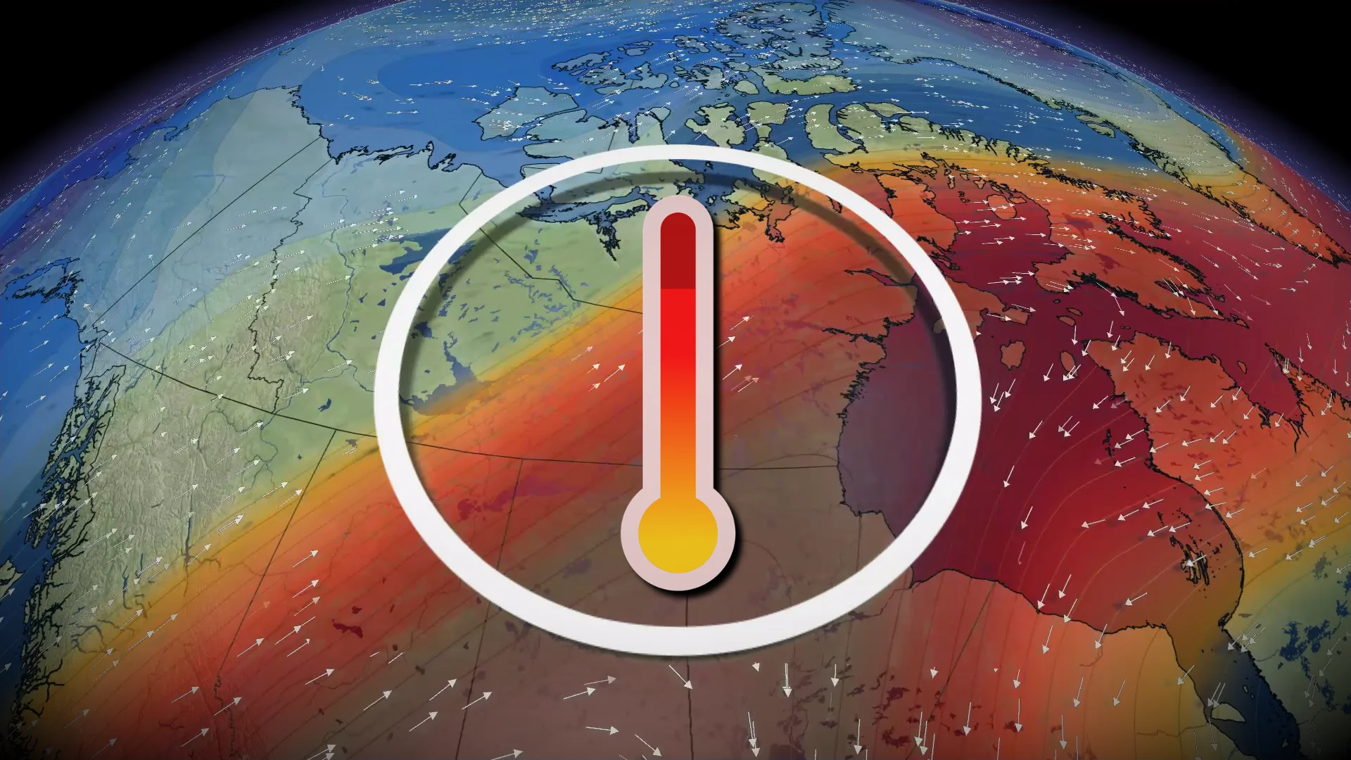
An amplified pattern building over Canada will send unusually warm temperatures soaring north into the Arctic through the coming week.
Readings in parts of the Far North will run 10-15+ degrees above seasonal for the middle of November.
DON’T MISS: What this record-breaking jet stream may mean for Canada’s winter
A very wavy upper-level pattern will allow persistent ridging to develop over a vast swath of Northern Canada. Ridges generally force air to sink toward the ground, warming up as it descends toward the surface.
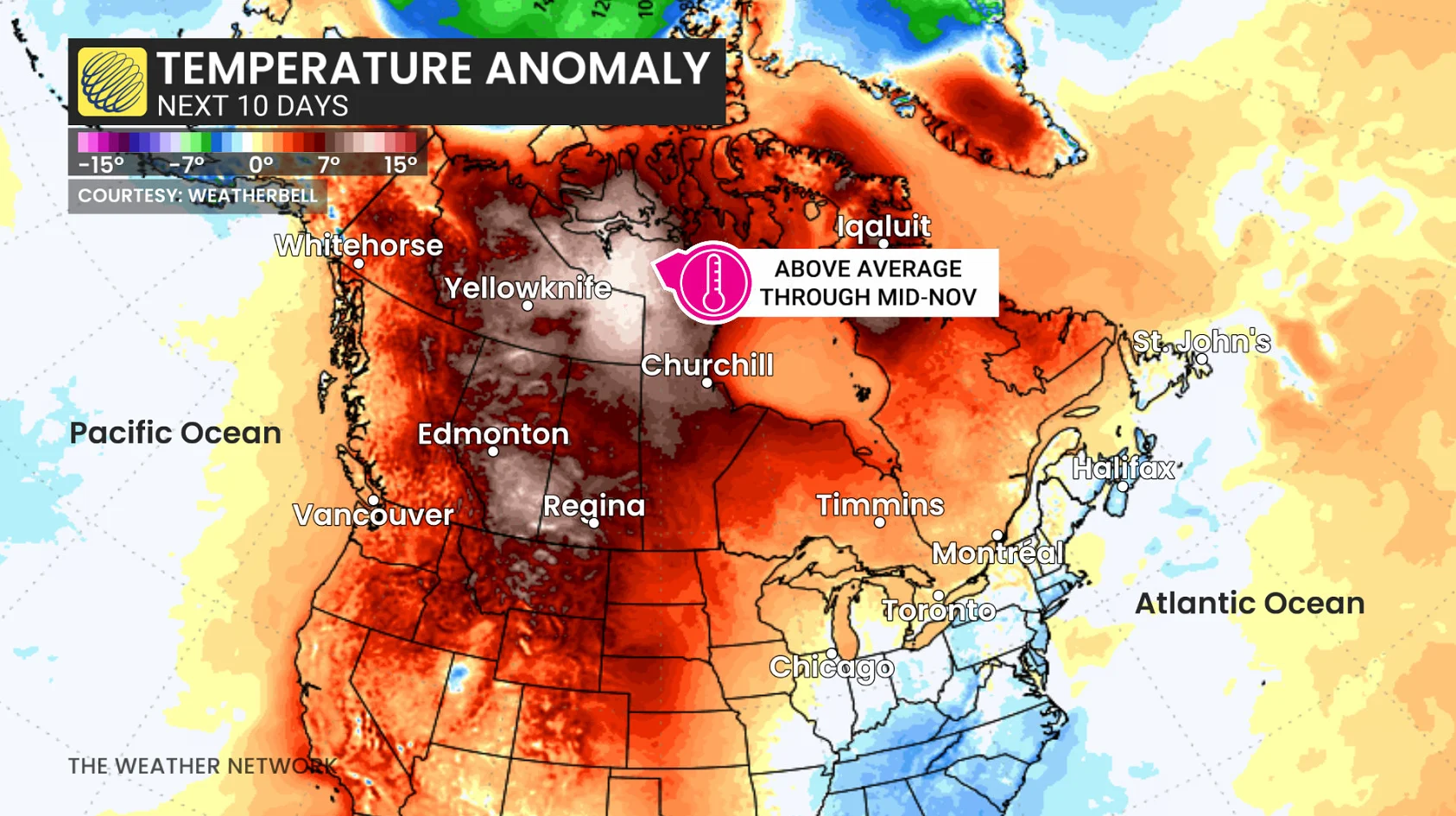
Combined with steady southerly winds expected to blow across the region, temperatures will soar far above seasonal through the middle of the month.
While warmer-than-normal temperatures are expected throughout Western Canada, the largest anomaly will exist over portions of the Northwest Territories and Nunavut.
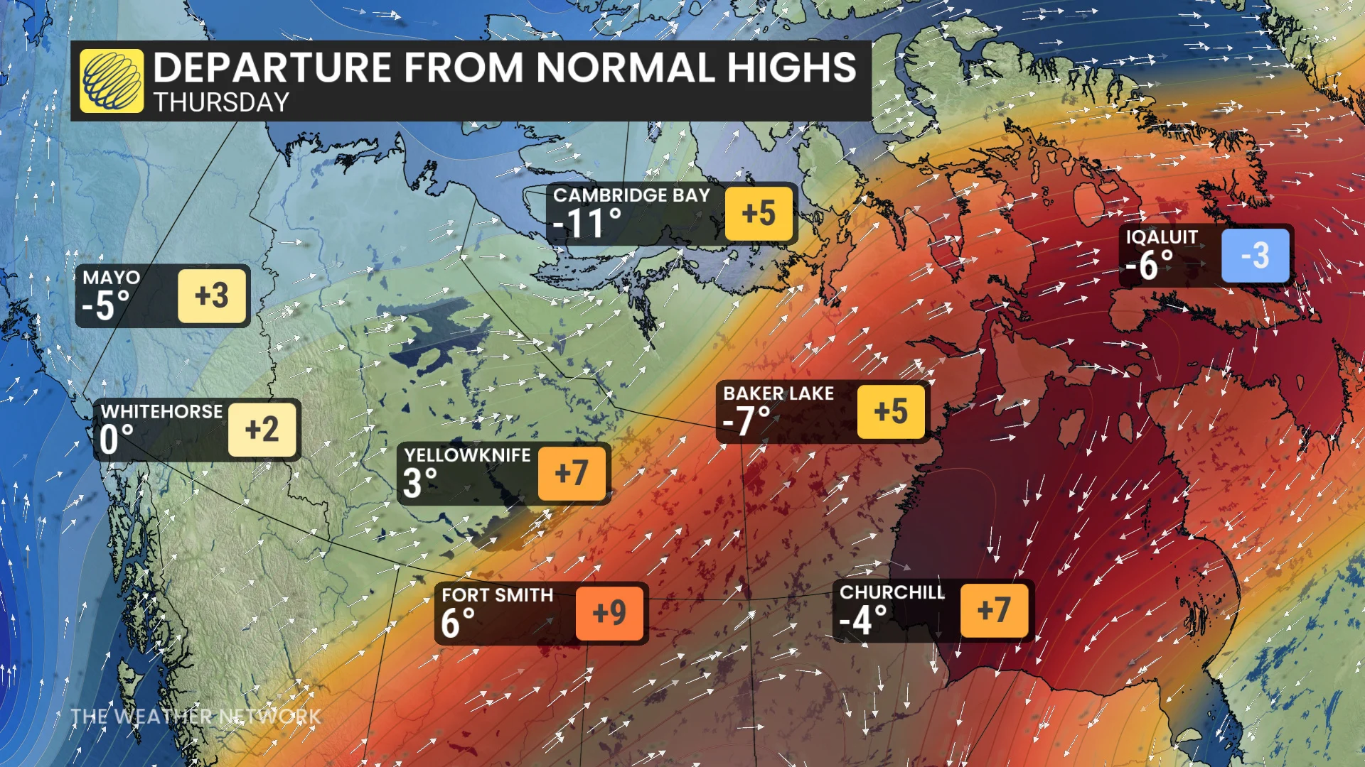
An average Nov. 11 in Yellowknife would see a daytime high temperature of about -7°C with an overnight low of -12°C. The current forecast calls for a high of 3°C and a low of just -1°C.
The same pattern responsible for above-seasonal conditions in Northern Canada will allow slightly cooler air to dip into the eastern half of the country by the end of the week.
Toronto, Ottawa, and Montreal will see daytime highs dip a few degrees below seasonal by Thursday and Friday.