Eastern Canada may endure a rocky, changeable summer ahead

Here’s a sneak peek at what this summer’s weather may hold for the eastern half of Canada
All eyes are on this summer’s weather as spring chugs along and the risk for a strong El Niño grows in the months ahead.
Those changing water temperatures thousands of kilometres away could have a significant influence on our summertime weather across Eastern Canada this year.
DON’T MISS: El Niño may split Canada’s summer in two
A growing El Niño is right around the corner
Water temperatures are warming up around the equator in the Pacific Ocean.

An El Niño watch is in effect, and most computer guidance shows that this upcoming event could grow quite strong.
This budding El Niño pattern will likely have a profound effect on the atmosphere in the months ahead, influencing weather patterns all the way to Canada and beyond.
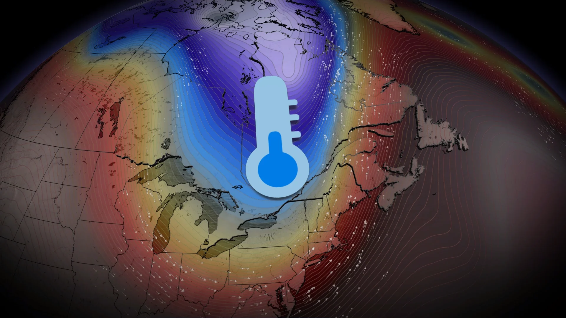
Summer may start on a cooler note
Meteorologists look to the past for clues about what may happen in the future. Years with similar setups to what we’re facing now include the strong El Niño years of 2023 and 2015.

One major sign of things to come is a troughing pattern expected to develop over Eastern Canada through the end of spring and into the early summer. This may bring generally below-seasonal temperatures to southern Ontario, southern Quebec, and much of the Maritimes.
The good news is that cooler-than-normal temperatures can still be rather comfortable this time of year. Toronto’s average daytime high rises from 22°C to 26°C through the month of June.

A bit of unwelcome news is that troughing patterns often lead to unsettled weather. We’ll have to watch where active storm tracks set up, which could bring the region spells of stormy weather. Periods of elevated moisture streaming up from the south may enhance rainfall over the Atlantic provinces.
Forecasters will monitor the placement of that trough heading into the season. It’s likely that warming waters in the Atlantic Ocean will help that trough retreat to the west. This would lead to a warming trend for the Atlantic provinces.
The big question will become where that trough ultimately decides to settle once this change occurs, whether it sets up shop over the Great Lakes or continues shifting even farther west.
El Niño may take a chomp out of this hurricane season
One of El Niño’s greatest effects on summertime weather in North America is its influence over the Atlantic hurricane season.

Increased wind shear over the Pacific Ocean can blow east over the Atlantic Ocean, disrupting tropical disturbances that attempt to take root over the region. We’re also looking at cooler-than-normal ocean waters in the main development region of the tropical Atlantic.
As a result, Colorado State University’s initial outlook calls for a slightly below-normal hurricane season this year, with fewer named storms and fewer hurricanes than usual.
Regardless of overall activity, it only takes one storm making landfall to make for a bad season for the affected areas. Coastal residents are urged to prepare for the season well before any storms have the opportunity to develop.
Stay tuned for your full summer forecast from The Weather Network on May 27th.