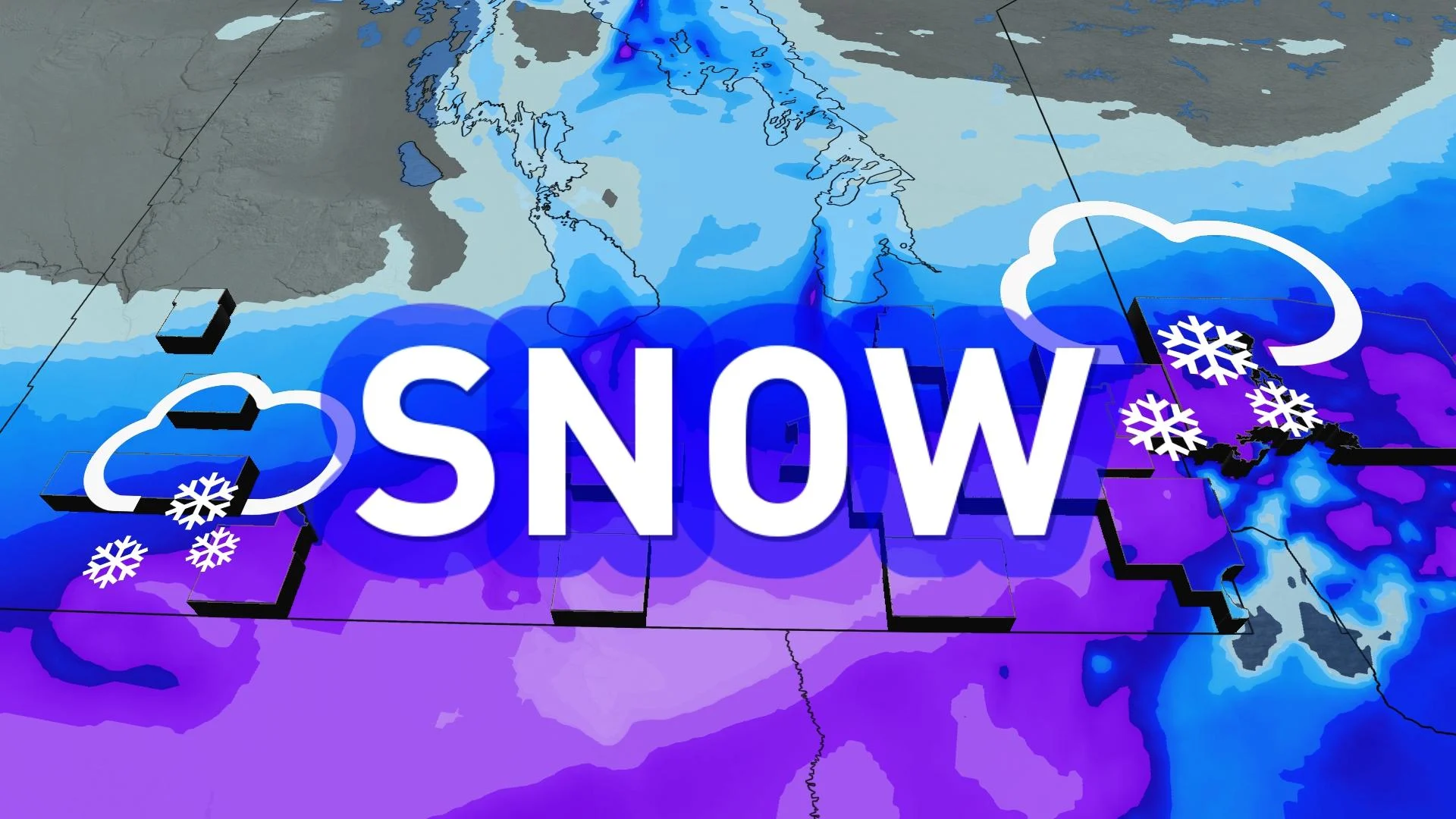
Southern Manitoba in the crosshairs of significant snowfall, 20-cm potential
Manitoba's first snowy week of the season will likely be a significant one, delivering up to 20 cm of snowfall for some areas in two rounds.
While some flakes appeared in parts of Manitoba earlier this week, a lot more is expected soon.
RELATED: Atmospheric floodgates allow brisk air, hefty snowfall into Alberta
Multiple systems eye Winnipeg and the rest of southern Manitoba this week. Some areas could see 10-20 cm of snow by Friday.
This early snowfall is a reminder that winter is just around the corner, and residents are encouraged to prepare for winter driving conditions and falling temperatures.
Round 1: Wednesday evening to Thursday morning
A Montana low-pressure system is now spreading snow through southern Manitoba. By Wednesday evening, light snow is in full swing across the region totalling about 5-10 cm of snow for the city of Winnipeg.
That will just be a light appetizer for what follows.

Snow totals will really vary across Winnipeg through Wednesday overnight. Neighbourhoods towards the northwest are looking at 5 cm, while areas closer to the university could see nearly 10 cm of snowfall.
With this being the first winter driving of the year, expect many slowdowns Wednesday evening and Thursday, and be sure to leave extra commuting time.

This same area is expected to receive another snowfall event beginning Thursday evening.
Round 2: Thursday evening to Friday
The main course of snow includes a stronger winter storm, which will bring a more significant swath of snowfall through Friday.
We have confidence that a heavy swath of snow will push into the province, likely bringing southern Manitoba an additional 10-15+ cm of snow.

The heaviest totals will be south of the Trans-Canada highway, so we expect some wide variation across the Metro Winnipeg area.
Snow isn’t expected to push into downtown Winnipeg until late Thursday evening.

Heavy snowfall and gusty winds will build through the pre-dawn hours Friday.
By Friday morning, snow will begin to taper from west to east in the province.

Do not count out lake-effect snowfall, too, along the shores of Lake Manitoba. A colder air mass descending from the Arctic and rushing over the warmer waters will awaken lake-effect precipitation though the mid- to the end of the work week.
Snowiest October records are not in jeopardy
While the arrival of snow may come as a bit of a shock to the system, we certainly won't be plunging into the snowiest October on record, or anything close to it, really.
In 1959 for example, more than 100 cm of snow fell in Brandon.

More recently, nearly 40 cm of snow fell across southern Manitoba during October of 2019. That early blast of winter weather left 30 cm of snow on the ground in the City of Winnipeg.
Keep checking back to The Weather Network for more forecast information and updates on your weather in Manitoba.
Thumbnail courtesy of John Brandt.