Dicey travel in Ontario Monday with snow, icy pockets, and dense fog
Get ready for rounds of disruptive weather to sweep across southern Ontario to begin this new work week, and start of February
After a wintry Sunday, more active weather will make for tough driving conditions across southern Ontario into Monday. Widespread weather advisories have been issued for snow, patchy freezing rain, and the risk for reduced visibility as Pacific moisture floods the area.
Stay up-to-date with the latest weather alerts in your area, and be sure to always check highway conditions before heading out.
DON’T MISS: La Niña and the polar vortex team up to delay spring in Canada
Monday: Snow, rain, and freezing precipitation chances
More than half of Canada's groundhogs saw their shadows on Sunday, indicating six more weeks of winter, and that outcome certainly lines up with what is in store for Ontario this week.
A mixed bag of precipitation is in the forecast for our Monday as the system crosses the area.

Rain will push across southern Ontario on Monday, possibly reaching as far north as Barrie and southern Georgian Bay before transitioning back to snow. Toronto proper hasn’t measured any rainfall since Jan. 1.
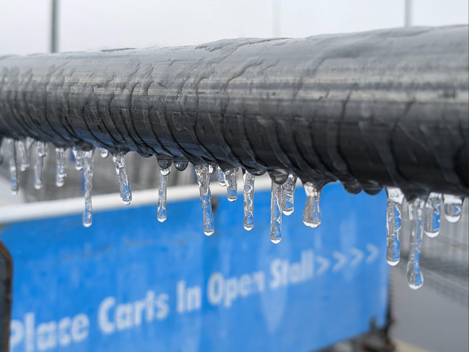
It’s possible that some of the precipitation will fall as freezing rain or drizzle across inland as far north as Barrie. However, areas to the north of the rain and wintry mix will endure a local swath of heavy snowfall.
"Travel may be hazardous due to sudden changes in the weather," warns Environment and Climate Change Canada (ECCC, in the winter weather travel advisory. "Surfaces such as highways, roads, walkways and parking lots may become difficult to navigate due to accumulating snow."

The corridors at greatest risk of seeing the freezing rain or drizzle include highways 7, 28, and 401 between Brockville and Cornwall. There’s also a brief chance for freezing rain to occur in cities such as London, Woodstock, and Cambridge in southwestern Ontario.
Beware of dense fog, reduced visibility
Warm air pushing over lingering snowpack will bring the risk for dense fog across a wide swath of southwestern Ontario on Monday. Keep an eye out for reduced visibility and prepare for tough driving conditions in pockets of fog.

Rain will be light, and off and on through the afternoon for the Golden Horseshoe from Oshawa down to St. Catharines. The cold front will move through after the evening commute, when some snow flurries will reach the Greater Toronto Area (GTA) and Niagara region.
Heavier amounts up to 10 cm will fall across cottage country, and to the north and east of the GTA.

The next major system to watch will arrive Wednesday night and Thursday.
At this point, primarily rain and freezing rain are expected, with a risk for significant ice buildup for some areas. Precipitation types and amounts would heavily depend on the system’s track through the region.
An active and volatile pattern is expected for the few weeks of February, as the region will be the battleground between the contrasting air masses with Arctic air to the northwest and much milder conditions to the south.
WATCH: La Niña, polar vortex cast a wintry shadow over Canada's February outlook
Stay tuned to The Weather Network for the latest forecast updates for Ontario.