Dicey travel possible as influx of messy winter weather targets Ontario
A quick burst of snowfall on Sunday could lead to tricky travel in parts of southern Ontario, ahead of another bout of wintry weather and fog chance on Monday that could affect road conditions
If you have any travelling plans in southern Ontario Sunday, now is the time to do it.
More than half of Canada's groundhogs saw their shadows on Sunday, indicating six more weeks of winter, and that outcome certainly lines up with what is in store for Ontario this week.
DON’T MISS: Groundhog Day results, see them here!
Snowfall is expected to arrive in parts of southern Ontario in the late afternoon, pushing east into the Greater Toronto Area (GTA) by the early evening. While the amounts won't be anything shattering, they will be enough to cause some slippery roads, so if you are planning on travelling then, brace for a slower commute and give yourself lots of time.
Monday won't offer much better travelling conditions as a wintry mix is slated to arrive, with more snow, a bit of rain and even the chance of fog and freezing precipitation for some.
Sunday: Burst of snow likely to impact travel
Snow will develop ahead of a low-pressure system pushing into Ontario from the eastern Prairies. We’ll see snow spread over northern Ontario through Sunday morning before reaching southern Ontario later in the day.
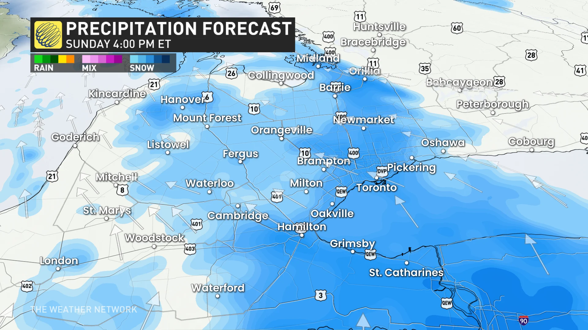
A quick burst of heavy snow is expected to develop across extreme southwestern Ontario late Sunday afternoon, spreading east into the GTA by 5 p.m.
DON’T MISS: La Niña and the polar vortex team up to delay spring in Canada
Peak snowfall rates of 1 to 2 cm an hour are likely on Sunday evening, between 4 p.m. and 7 p.m., as this burst of snow moves across the region. Folks across the GTA can generally expect 1 to 3 cm of snow on Sunday, with 2 to 4 cm possible on the Niagara Peninsula.

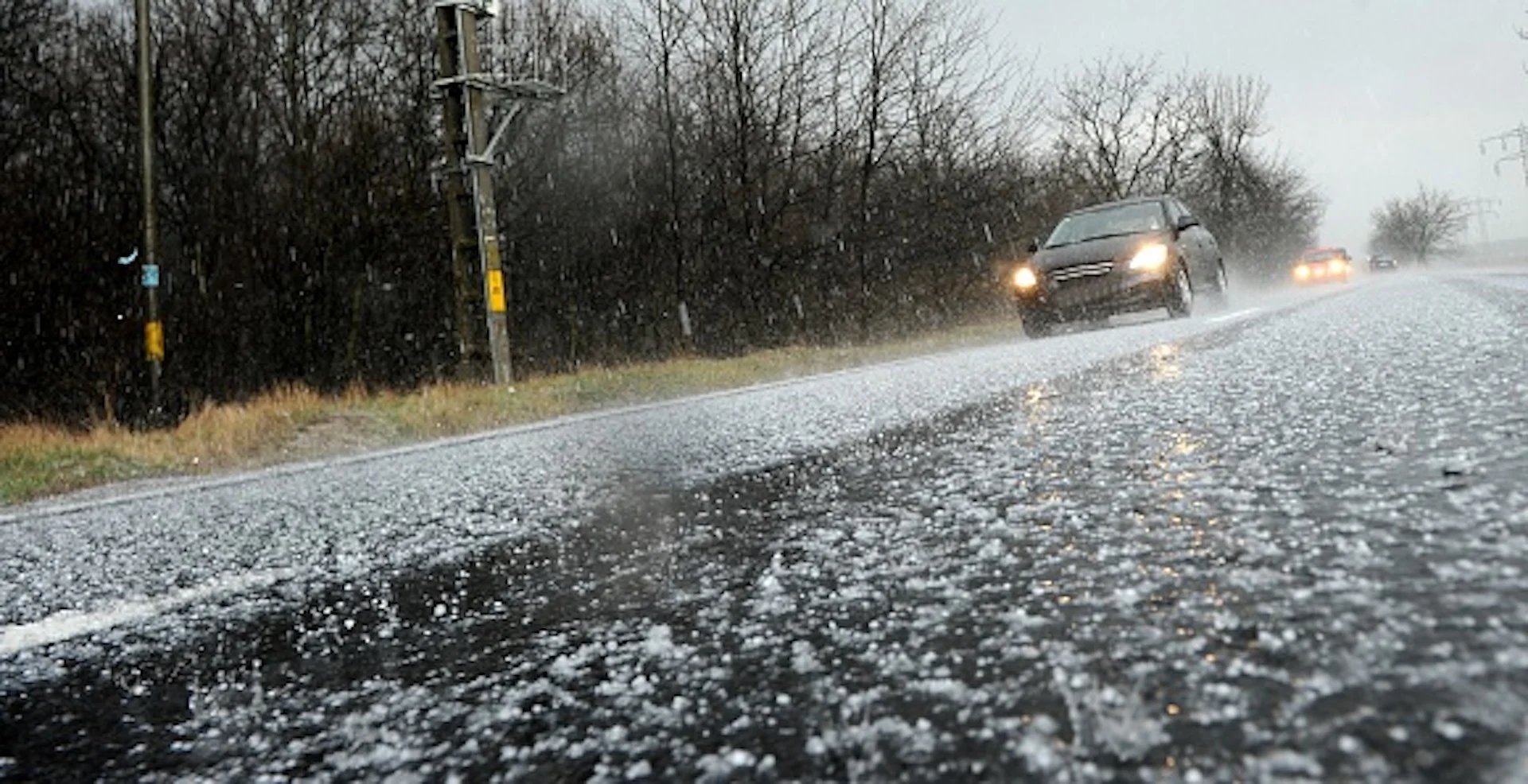
Visibility may be suddenly reduced at times in heavier bursts of snow. Be prepared to adjust your driving with changing road conditions.
Monday and beyond: Snow, rain, freezing precipitation and fog chances
A mixed bag of precipitation is in the forecast for our Monday as the system crosses the area.
Rain will push across southern Ontario on Monday, possibly reaching as far north as Barrie and southern Georgian Bay before transitioning back to snow. Toronto proper hasn’t measured any rainfall since Jan. 1.

It’s possible that some of the precipitation will fall as freezing rain or drizzle across inland as far north as Barrie, Ont.
However, areas to the north of the rain and wintry mix will be enduring a local swath of heavy snowfall.
The highways at greatest risk of seeing the freezing rain or drizzle include 7, 28, and 401 between Brockville and Cornwall. As well, brief chances of it could occur in cities such as London, Woodstock, and Cambridge in southwestern Ontario.

Warm air pushing over lingering snowpack will bring the risk for dense fog across a wide swath of southwestern Ontario on Monday. Keep an eye out for reduced visibility and prepare for tough driving conditions in pockets of fog.

The next major system to watch will arrive Wednesday night and Thursday. At this point, primarily rain and freezing rain are expected, with a risk for significant ice buildup for some areas. Precipitation types and amounts would heavily depend on the system’s track through the region.
WATCH: La Niña, polar vortex cast a wintry shadow over Canada's February outlook
Thumbnail courtesy of Getty Images/Christi Nistor/505021568-170667a.
Stay tuned to The Weather Network for the latest forecast updates for Ontario.