Developing tropical system eyes Atlantic Canada with rain, wind impacts

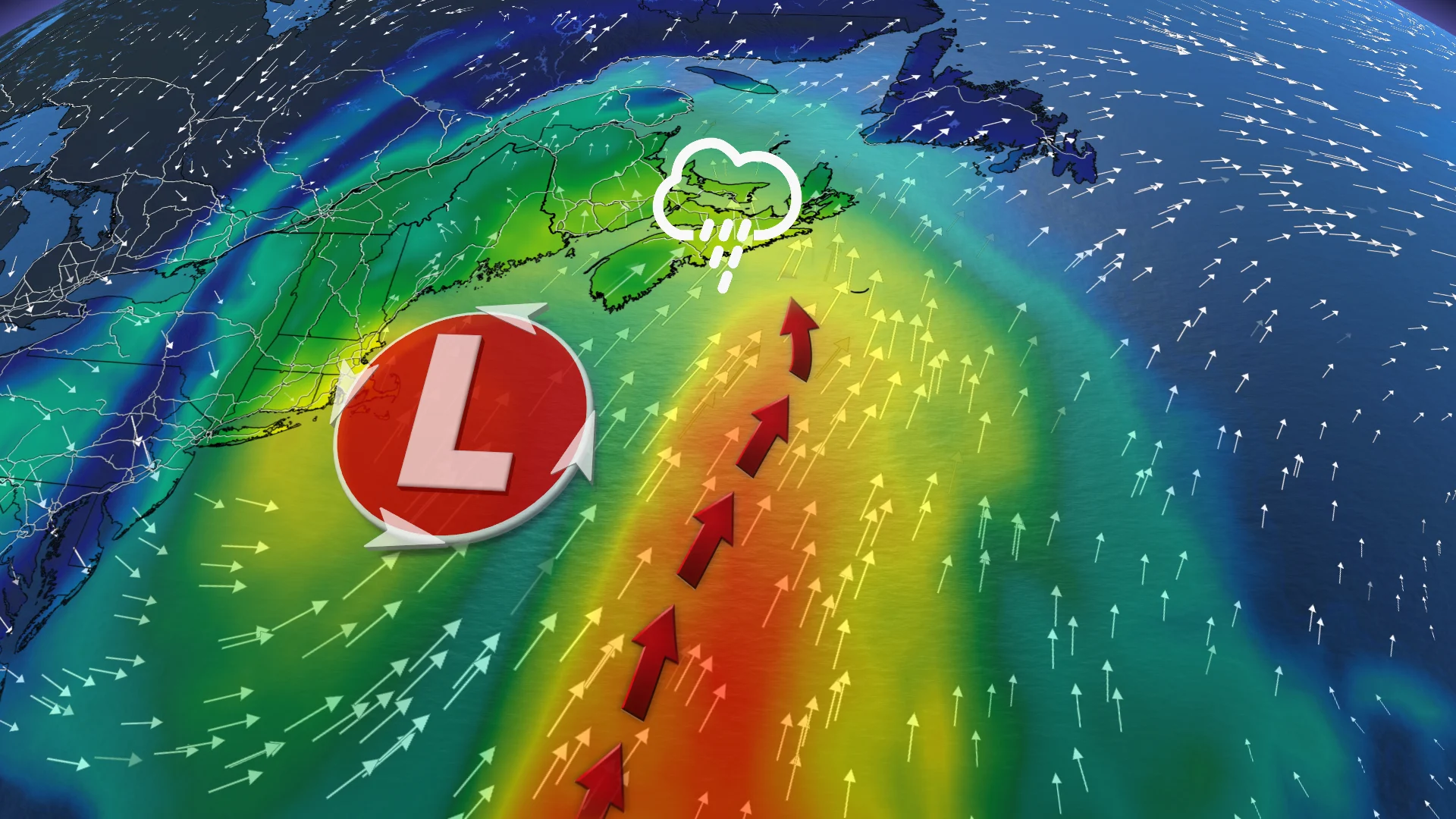
Forecasters are closely watching a developing tropical system over the US southeast coast, with potential impacts to Atlantic Canada by Monday.
A strong low-pressure system brought heavy rain to the Bahamas and Cuba earlier this week and is now travelling northward, tapping into heavy moisture and warm sea surface temperatures on its way, and may impact Atlantic Canada by Monday.
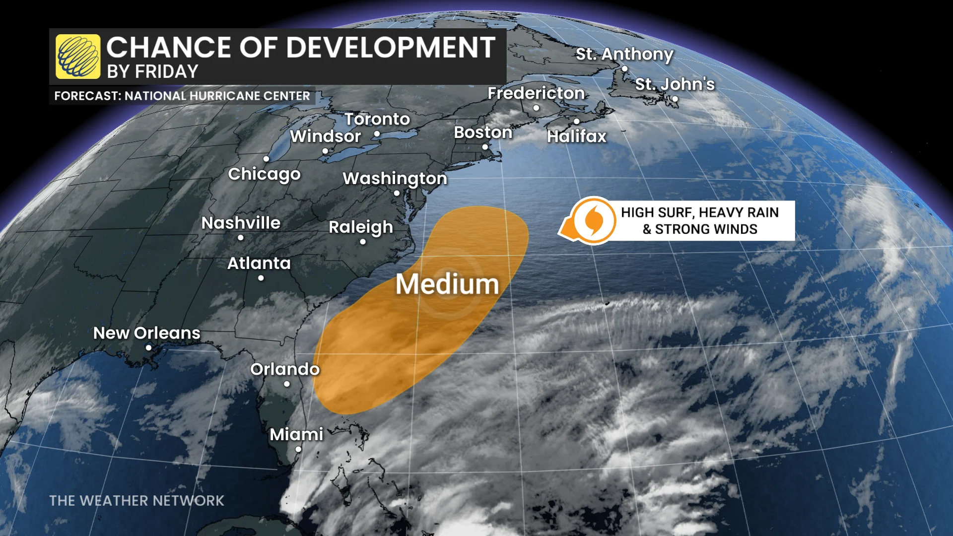
The National Hurricane Center currently has a 60 per cent probability that this system will develop into either a tropical or subtropical cyclone by late Friday.
SEE ALSO: Impactful weather interruptions will mark November's end across Canada
Regardless of whether or not the system becomes a named storm, it will feature tropical characteristics as it churns up the Eastern Seaboard. Heavy rain, high surf, and strong winds will likely be the trend over the coming days.
Despite how late in the year it is, this isn't out of the ordinary. The Atlantic hurricane season isn't over until Nov. 30, although tropical systems can still develop beyond that date as sea surface temperatures continue to rise.
Tropical impacts to Atlantic Canada
So far, forecast models are indicating this system will track over land once it reaches Atlantic Canada, so it will primarily be a rain event for the region. Northern Quebec and Labrador, however, could see some snow.
DON'T MISS: The mysterious Newfoundland flamingoes that inspired a Netflix show
The amount of rain Atlantic Canada will see is still up in the air. Two different models are currently in disagreement: one is staying fairly conservative with rainfall totals, predicting only 20-30 mm across the region by Tuesday, while the other is predicting heavy rainfall with pockets of 50-75 mm.
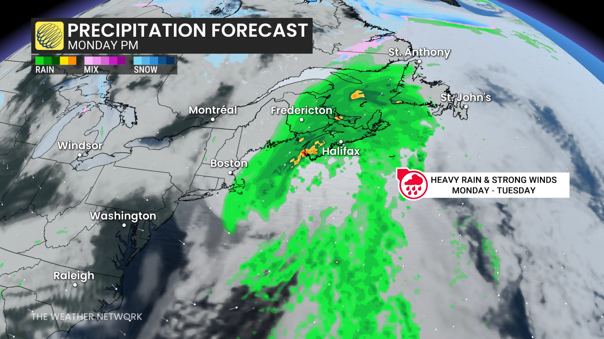
As the system continues to develop and move up the coast over the weekend, we should get a better idea of what we can expect for rainfall.
Other than the rain potential, forecasters are also keeping an eye on the wind impacts. Strong winds gusting to 60-80+ km/h are possible, which will raise the risk of tree damage and localized outages.
Stay with The Weather Network for more information and updates on your forecast across Atlantic Canada.