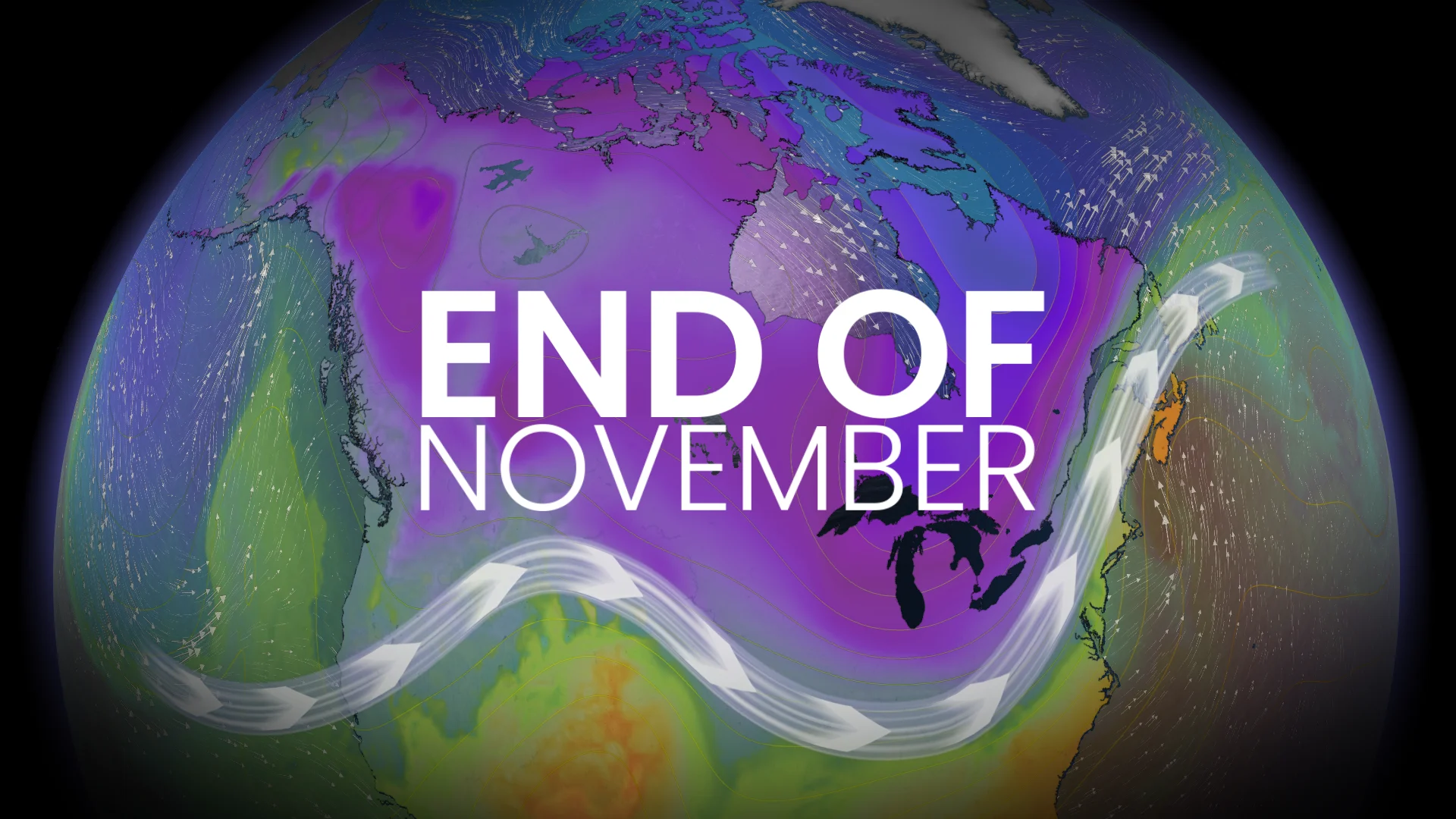
Impactful weather interruptions will mark November's end across Canada

What does the end of November weather look like across Canada? Well, the conclusion will be a stark contrast to how the month began--with active, wet and cold conditions forecast.
Get ready for a dramatic shift in weather as November wraps up, Canada.
An active pattern returns across the country as we reach the end of November. While warmer-than-normal temperatures continue across the country, expect impactful interruptions.
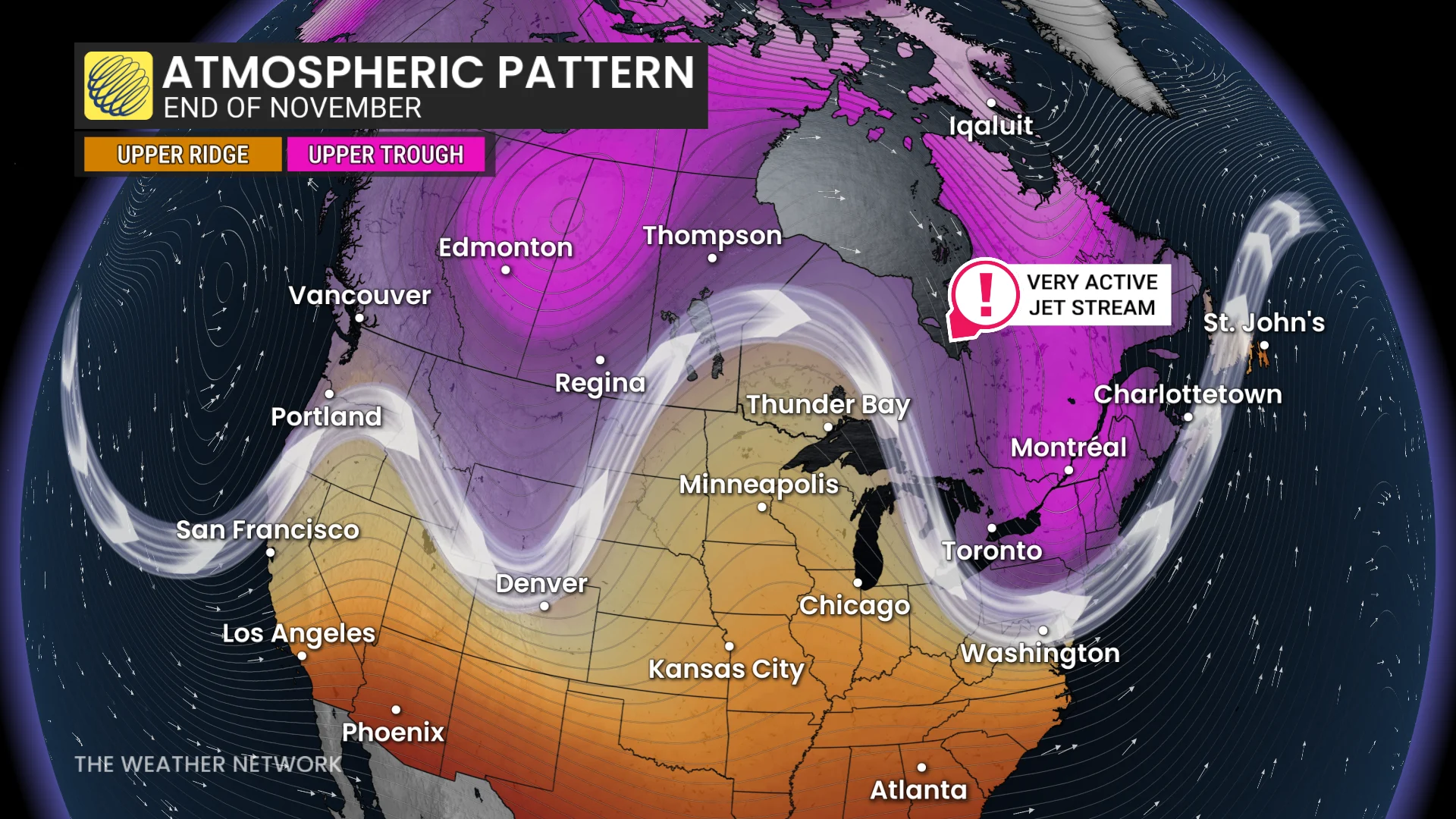
DON’T MISS: Winter has a few tricks up its sleeve for Eastern Canada this year
West
An active, wet pattern returns to southern B.C. early next week, continuing through the end of the month into early December. Temperatures will be near seasonal.
In Alberta, recent snowfall and more weekend snow supports temperatures to trend several degrees below normal into early next week.
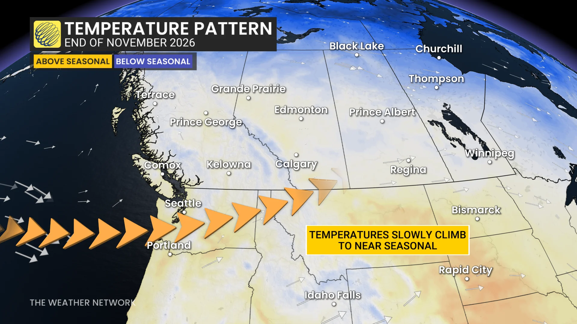
Temperatures will gradually rebound in Alberta by the end of the month, but won't be as warm as earlier this month.
Meanwhile, the rest of the Prairies will tip mild, but trending closer to typical, late-fall weather.
East
In the East, a potent Colorado low triggers active weather this weekend in northwestern and northeastern ontario--with significant snow possible in those regions.
Following that, a significant cooldown of near- to below-seasonal temperatures are expected early next week for Ontario and Quebec.
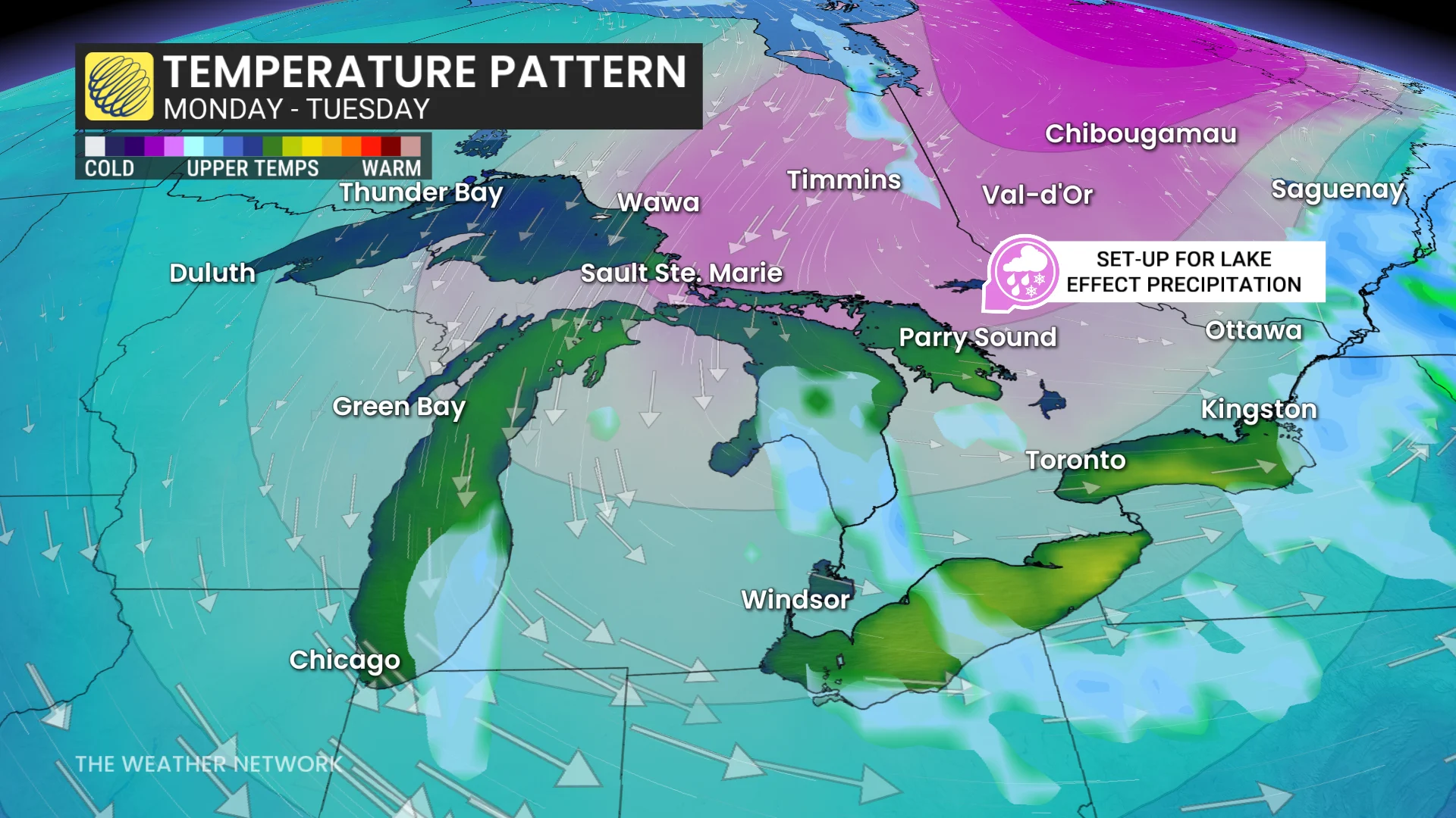
Temperatures will slowly climb mid-to-late week but a cooler trend is possible. The final week of November may actually feel like late November.
It could possibly get cold enough to trigger lake-effect snow in the snowbelt communities on Monday.
Forecasters will be watching a Texas low track along an active storm track for the final weekend of the month.
There are lots of uncertainty for impacts and an exact storm track into the Great Lakes, Quebec and Atlantic Canada.
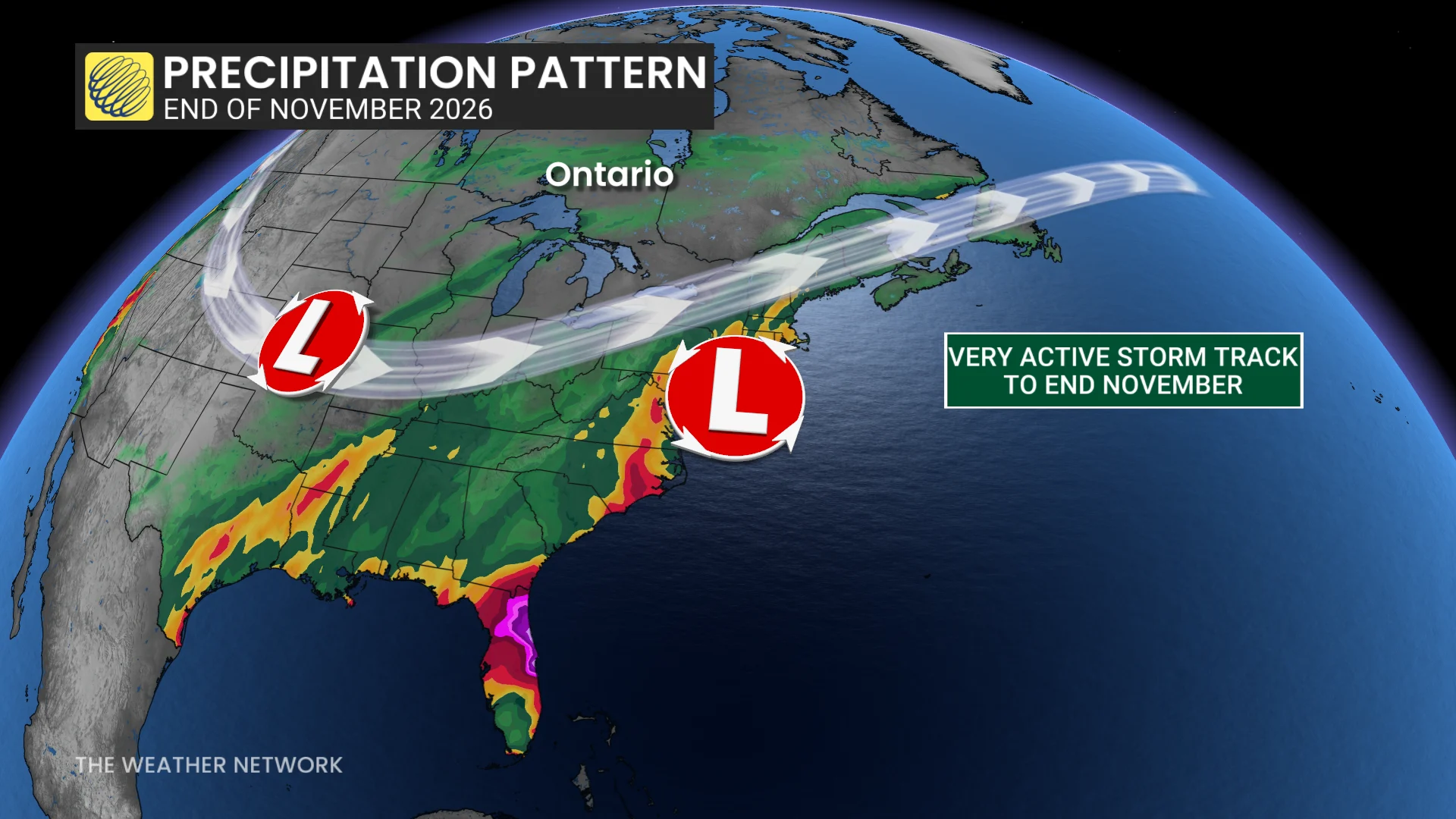
There will be a chance for the first typical fall storm of the season in southern Ontario, but it could also miss the region and stay south or east.
Atlantic Canada's dry stretch will come to an end on Monday and onwards.
A strong, low-pressure system with subtropical moisture tracks up the U.S. East Coast, approaching the Maritimes early next week with heavy rain and windy conditions.
Behind the low, the same shot of cold could bring bursts of snow and a chilly end to the month. Active weather is expected to linger into early December.
With files from Rachel Modestino, a meteorologist at The Weather Network.
Stay with The Weather Network for all the latest on conditions across the country.