Damaging winds take aim at southern Ontario, heavy snow tracks north

Weather warnings span Ontario for heavy snow impacting the north, and a damaging wind threat across the south through Wednesday.
After what was set to be a windy night, people across southern Ontario will be waking up to less gusty conditions, but there's some solid lake-effect snow potential for areas in the southwest and up through cottage country, though presently communities near Lake Erie and Lake Ontario look like they'll be spared. Beyond, a cooler pattern takes hold. For a more detailed look, see below.
DON'T MISS: January promises nationwide 'pattern shakeup'
THURSDAY: WINDS EASE, LAKE-EFFECT SNOW LIKELY
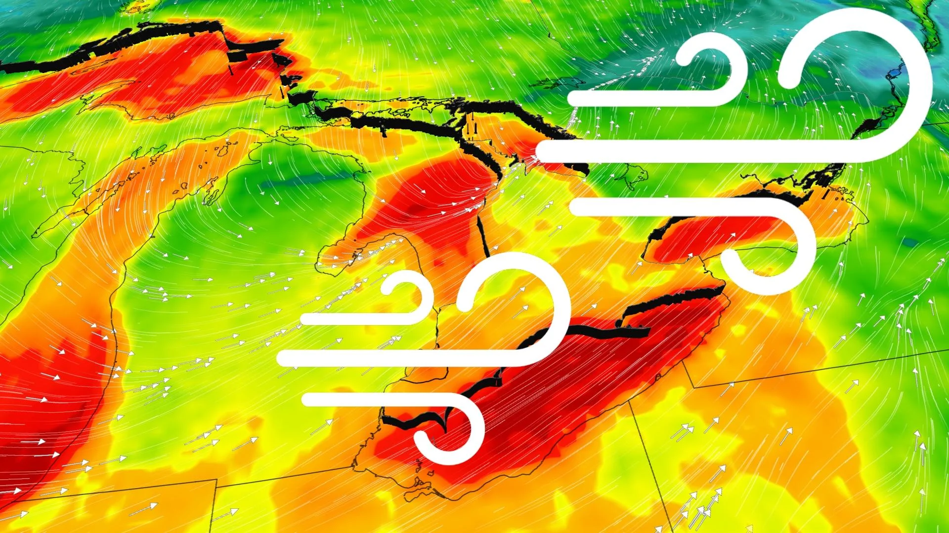
Strong winds lashed parts of southern Ontario Wednesday, with gusts exceeding 80 km/h through the afternoon and evening hours. By Thursday morning, those gusts will have subsided considerably, but the breezy conditions that remain will herald a new problem for travellers.
Air and surface temperatures will be cooler than the waters of the Great Lakes, so people in the traditional snowbelt areas of the southwest on the shores of Lake Huron should expect 10-20 cm of snow through Thursday, locally higher in some areas.
For people on the shores of Lake Ontario and Lake Erie, presently it seems the wind direction will be such that the worst of the squalls will be aimed at upstate New York. However, a shift slightly to the north could bring some flakes to places like Prince Edward County and the Niagara region, so this setup will be one to watch.

LOOK AHEAD: TEMPERATURE ROLLER-COASTER CONTINUES THROUGH MID-JANUARY
Forecasters are closely watching a developing winter storm tracking south of the U.S. border for the end of the week, though at this point, it looks like most of the heavy snow will stay well south of the border.
Temperatures will remain cold through the first half of the weekend, briefly warming up on Sunday with rain showers expected.
By early next week, a strong cold front crossing the region threatens some of the coldest weather of the season so far, with overnight temperatures set to dip into the -20s, feeling even colder with the wind chill.
After this quick shot of Arctic air however, milder temperatures are expected to return during the second half of next week, with a changeable temperature pattern set to persist through mid January.
Be sure to check back for the latest weather conditions as we kick off this new year in Ontario.