Prairies brace for a stormy Sunday

Thunderstorms could bring hail, heavy rain and strong winds to parts of Saskatchewan and Manitoba
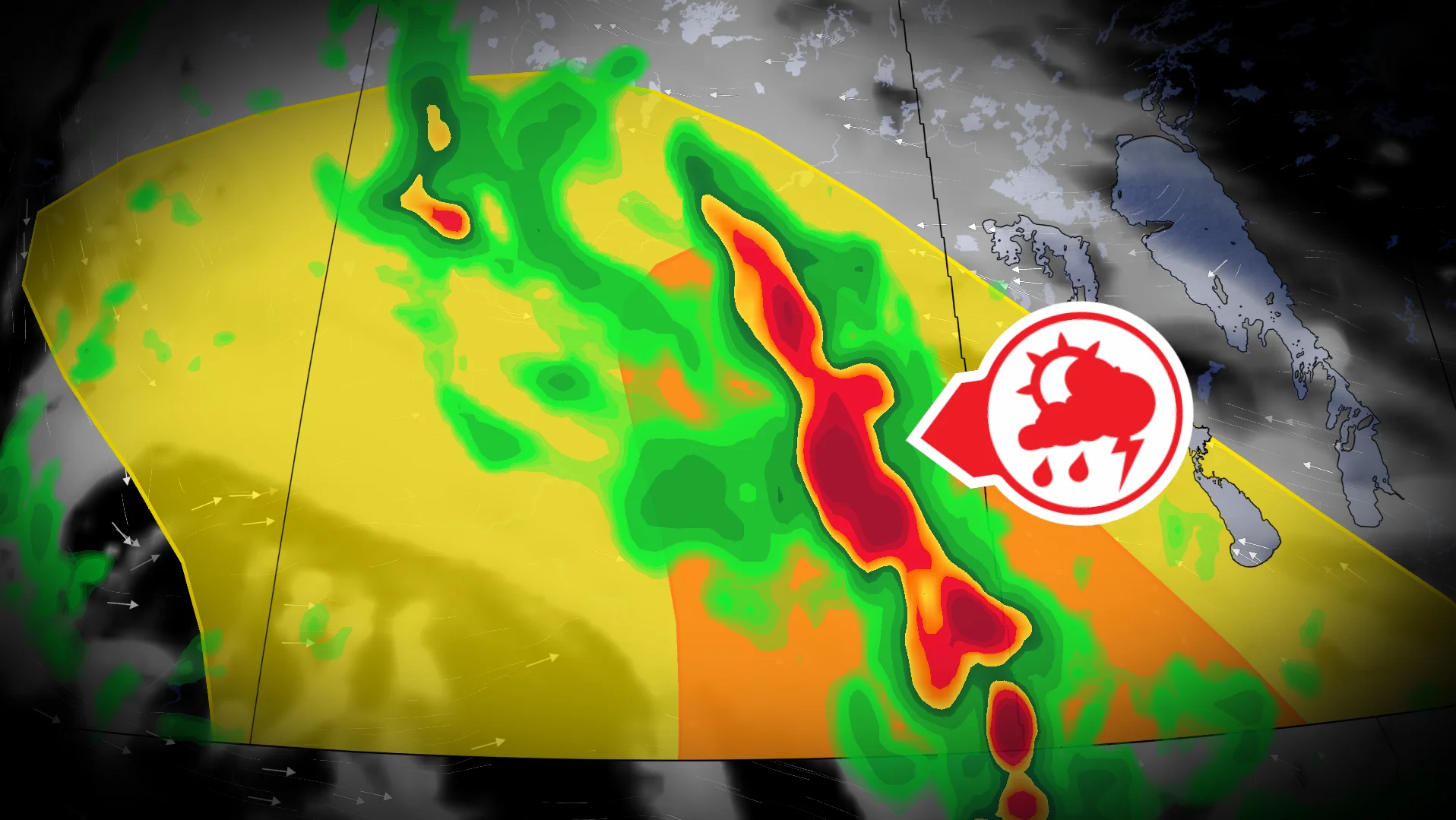
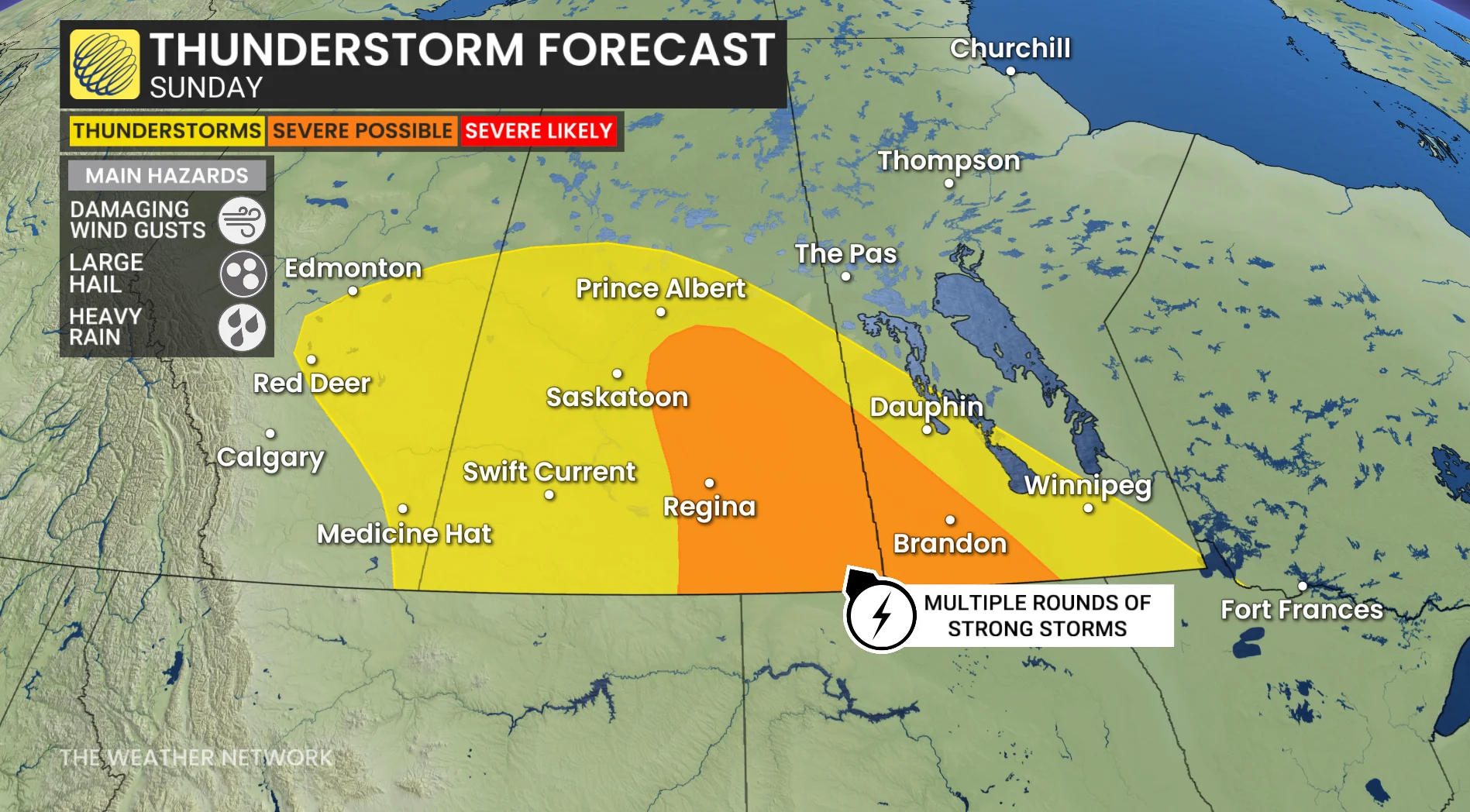
Thunderstorms are expected to form across the Prairies on Sunday, extending from southern Saskatchewan to southern Manitoba.
An upper-level low over southern B.C. will move toward the Prairies, pulling moisture north and causing atmospheric instability. That setup could help fuel a series of showers and thunderstorms throughout the day.
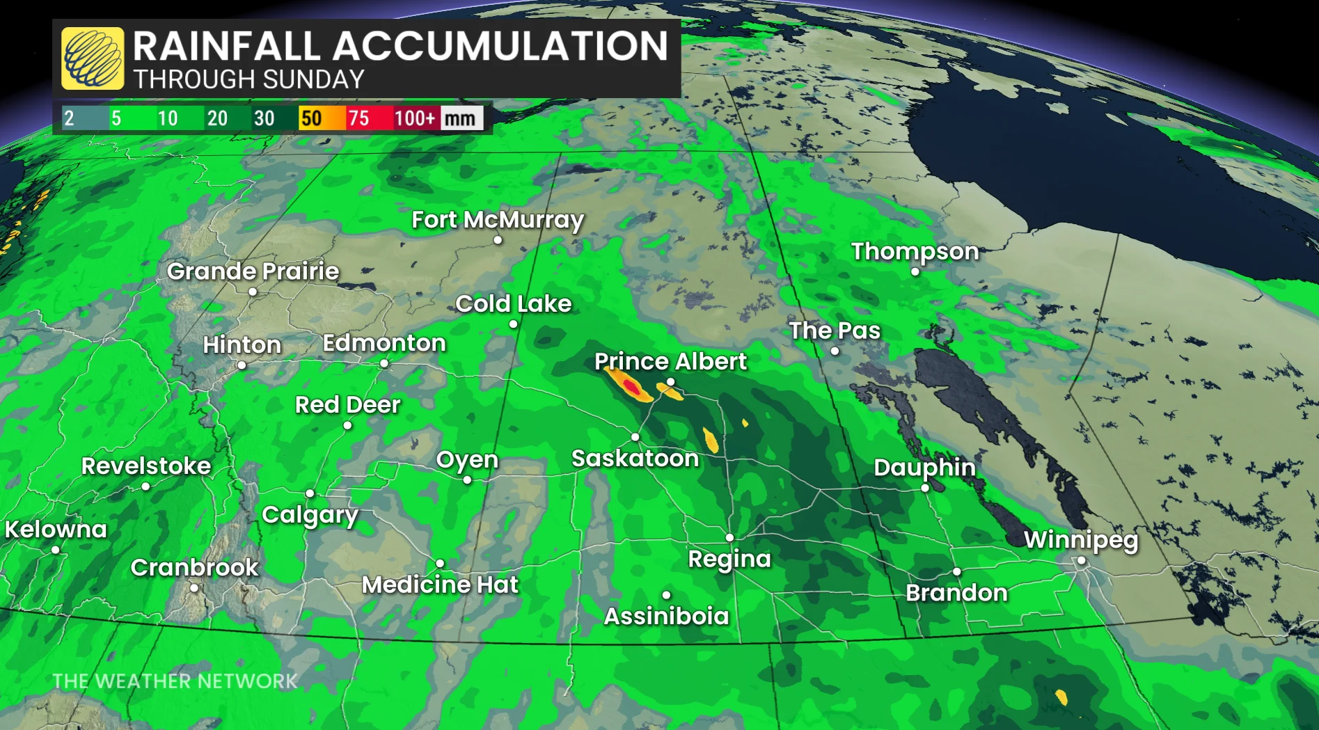
The greatest concern is in southern Saskatchewan and Manitoba, including areas near Regina and Brandon. Storms may bring strong winds, heavy rainfall and large hail.
CHECK OUT: How the weather could be influencing your music taste
Storms could start overnight
The first storms could arrive as early as Saturday night and Sunday morning, particularly in southern Saskatchewan.
From there, the threat shifts eastward into southern Manitoba Sunday afternoon, with more storms possible Sunday evening and overnight as a front passes through.
DON'T MISS: 5 astronomical events happening after we're gone
A cooler day follows
The unsettled weather will also cause a noticeable drop in temperature in parts of Saskatchewan.
Regina, for example, is projected to reach 29 C on Saturday before dropping to about 22 C on Sunday as the storm system moves in.
While the storms will not affect everyone, those in the southern Prairies should be prepared for a more active day on Sunday.
Stay with The Weather Network for the latest updates across the Prairies