Connection between extraordinary storm surges in Canada and Florida

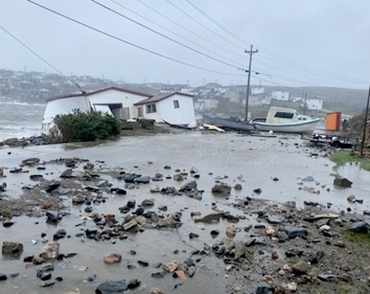
Hurricane Ian is set to bring multiple waves of devastating storm surge. The shape and orientation of the bay of Port aux Basques, N.L., was the worst-case scenario for Fiona's storm surge with 15-metre waves coming from the southeast.
There are some very similar characteristics between Fiona and Ian, which can be seen from the recent devastation in Port aux Basques, N.L., and the expected "catastrophic" impact for Florida's coast Wednesday and Thursday.
SEE ALSO: Displaced Port aux Basques residents are 'just trying to keep things together'
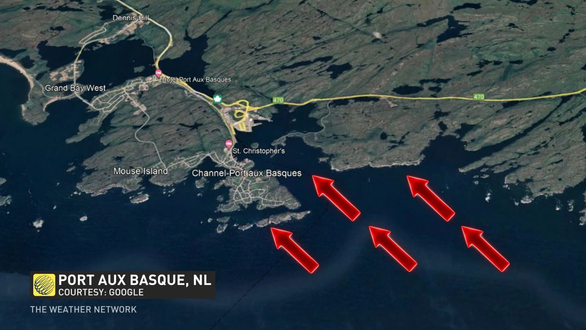
Hurricane Ian is set to bring multiple waves of devastating storm surge. The shape and orientation of the bay of Port aux Basques was the worst-case scenario for the storm surge with 15-metre waves coming from the southeast.
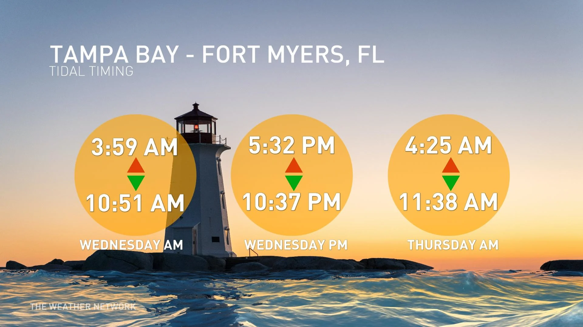
The Gulf Coast has a couple of highly vulnerable bays in Ian's track. The storm surge will be most devastating at high tide along the shores to the south of the eye.
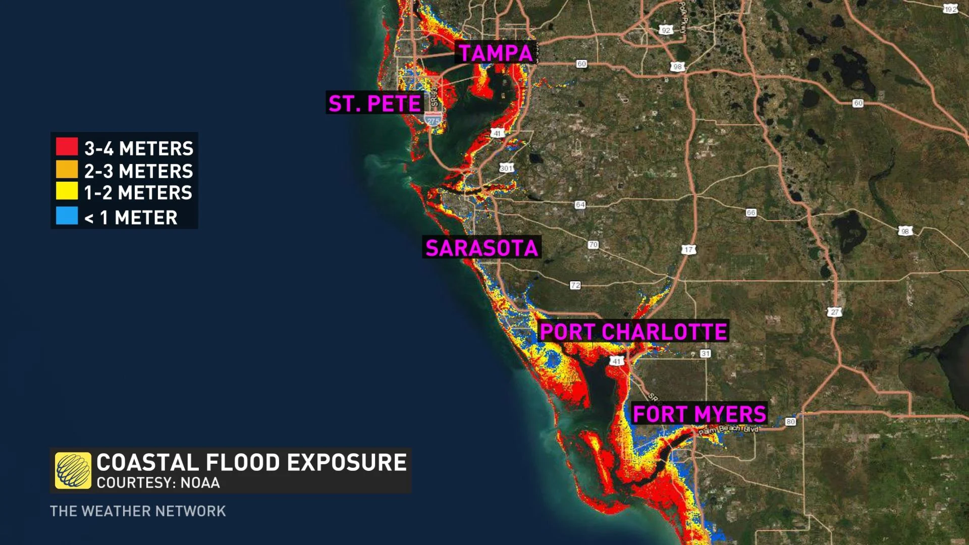
The shallow and narrowing bays will funnel the worst of the surge into some highly populated areas. Some 600,000 people are in the greatest-risk elevation around Fort Myers and Port Charlotte, Fla.
The latest track forecasts have brought Ian's landfall to the south of Tampa Bay, preventing the strong onshore flow into the community and thus avoiding the worst-case situation.
However, with half-a-metre of rain and storm surge as high are 4 metres, Ian could certainly be a catastrophic storm for parts of the southern Gulf Coast, potentially becoming the costliest storm in Florida's history.
Thumbnail courtesy of Matt Haist, taken in Port aux Basques, N.L.