Second wave of rain pushes into B.C. Sunday, avalanche risk persists
B.C. is entering its rainiest stretch of weather since late December
After weeks of below-seasonal temperatures and dry conditions, a more seasonal pattern returned this weekend as milder temperatures and plenty of rainfall move into the province. This will be the province's rainiest stretch since late December 2024.
The arrival of moisture, milder temperatures, and potent wind gusts will bring a high avalanche risk for portions of the South Coast this weekend, just days after a skier died near Golden, B.C.
Come Monday, a windstorm will be possible for the coast as potent gusts are forecast, but the confidence is still low at this time.
DON’T MISS: La Niña’s last hurrah? Pattern could disappear by this spring - The Weather Network
Into Sunday: More precipitation, gusty winds
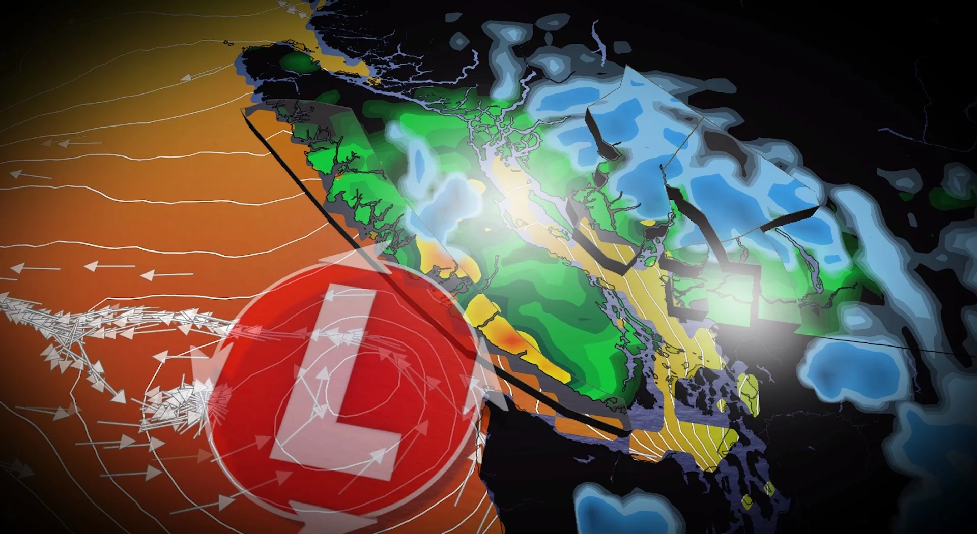
A weak atmospheric river will establish itself over B.C. this weekend, bringing heavy rain, high freezing levels and potent winds.

On Sunday, the second wave of moisture builds across the coast through Sunday afternoon, then easing on Monday morning.
Winds will be less of a concern than they were on Saturday. But gusts could reach up to 60 km/h on Sunday.

Two-day rainfall totals of 60-100 mm are possible on western Vancouver Island and the higher terrain of the Lower Mainland.
With the rain-shadow effect, downtown Victoria is still forecast to receive just 5 mm of rainfall with both frontal systems.
Avalanche risk rises with warm air, moisture
Freezing levels will rise to around 2000 metres through the weekend. The combination of warmer temperatures and fresh precipitation will destabilize the snowpack and raise the risk for avalanches across B.C.’s South Coast into the weekend.
"As precipitation piles up, danger increases with it," warns Avalanche Canada. "With storms this dramatic, it is a great time to avoid avalanche terrain until things calm down."

According to Avalanche Canada, a high danger rating means that conditions are very dangerous, and travel in avalanche terrain is not recommended.
Monday evening: Windstorm threat present, but low confidence
A rapidly developing low is forecast to pass west of Tofino on Monday evening, sparking very strong winds that are associated with the deep area of low pressure.
The strongest winds are forecast across the exposed coastal sections of Vancouver Island, with a potential for gusts to exceed 90 km/h but the confidence is low.
Science behind: Could your voice trigger an avalanche?
Stay with The Weather Network for all the latest updates on conditions across B.C.