B.C. faces elevated threats for floods, avalanches amid atmospheric river
While not the strongest of atmospheric rivers, the current event infiltrating B.C. could bring 100+ mm of rain and more than 10 hours of freezing rain for some areas this week, elevating the risk for flooding and avalanches
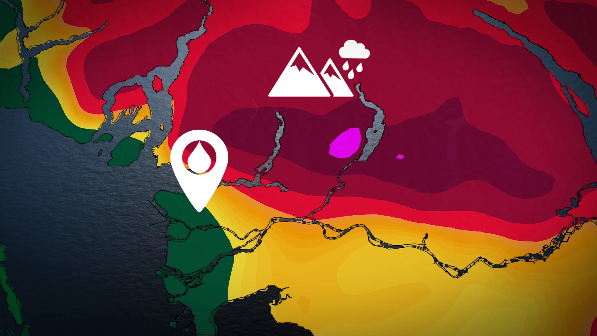
Cold and warm air are battling it out in B.C.'s Interior this week as an atmospheric river moves in, bringing significant weather to most of the south.
A flood and landslide risk exists on the South Coast while a high avalanche danger builds on Vancouver Island and the North Shore Mountains. More than 10 hours of freezing rain is possible in the Interior.
WINTER 2024: El Niño will play a critical role in the weeks ahead
While the atmospheric river is only rated between AR1 to AR2, heavy rainfall rates and soaring freezing levels will combine to produce a localized flood threat for many areas, and an avalanche risk will exist in the alpine regions as warm temperatures and the rain destabilize the fresh snowpack.
Avalanche and flood potential on the rise
Heavy rain will ease Monday overnight, but it will continue to be steady through Tuesday morning. In the afternoon, precipitation starts to break up.

With this short duration, but heavily saturated pineapple express, localized flooding is possible into Tuesday morning but it will not be widespread.
Rivers and streams are also expected to see higher flow as the heavy rain and the high freezing levels will also cause snow to melt.
Freezing levels will slowly drop closer to 1200 metres on Tuesday, and then fall even farther, down to around 600 metres by the end of the week.

WATCH: Vancouver and the Lower Mainland dealing with flooding rains
Interior freezing rain threat
For the Interior section, rainfall may fall, but will freeze on contact as the chillier air holds in the region overnight, but as warm air ushers in, freezing levels will reach well above the passes –– bringing rain to higher elevations.
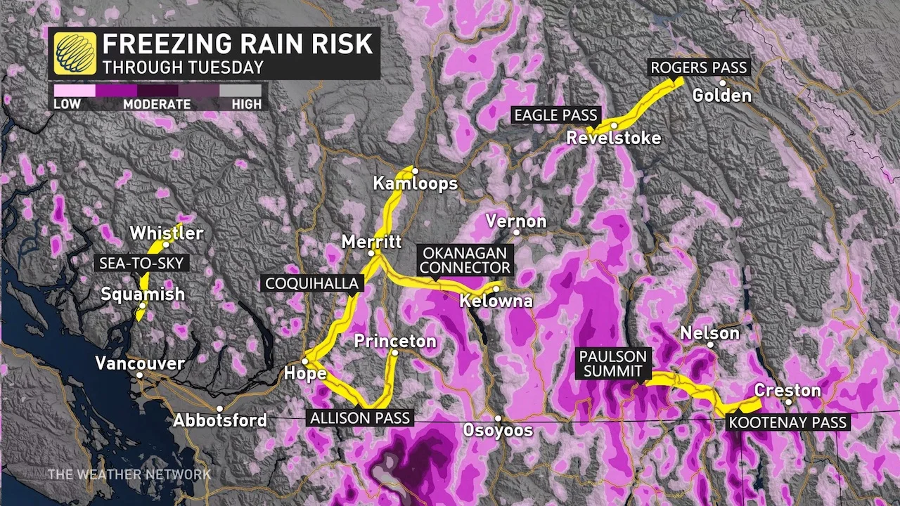
As the high freezing levels will be short-lived for the Interior, it is possible that cold air will remain persistent in the valleys, leading to freezing rain and drizzle that may endure for several hours, especially for the southern Kootenays. How much ice builds up is uncertain as freezing levels begin to lower back to near 1200 metres by late Tuesday.
The avalanche risk on Tuesday increases for eastern B.C. as fresh snow will become unstable with rain and warmer temperatures.

Folks across the region should diligently check avalanche ratings and take appropriate safety measures, staying on top of the ever-present avalanche risk across the province’s terrain.
Due to the snowmelt potential heading into early next week, these regions will also need to watch the potential for rising waters in the days ahead.
Stay with The Weather Network for the latest on conditions across B.C.