Atmospheric river to drop hefty rains over B.C. into next week
Multiple rounds of Pacific moisture washing over British Columbia will bring hefty rainfall totals and a possible alpine snowmelt heading into next week
The atmosphere is making up for lost time across the West Coast this weekend as a train of storms feeding off ample Pacific moisture washes into the coast.
Folks across lower elevations can expect widespread heavy rainfall through next week, while bountiful alpine snows are in the cards for the South Coast’s peaks.
An organized atmospheric river expected late this weekend will contribute to a sudden rise in freezing levels, potentially sparking a flood risk as some areas experience rapid snowmelt and a changeover from snow to rain.
DON'T MISS: Canada's Winter Forecast: El Niño a critical factor for the season ahead
Atmospheric river arrives Sunday into early next week
Initial bouts of late-week rain and snow will linger into Saturday, serving as a prelude for the main event arriving on the coast Sunday and persisting into the new workweek.
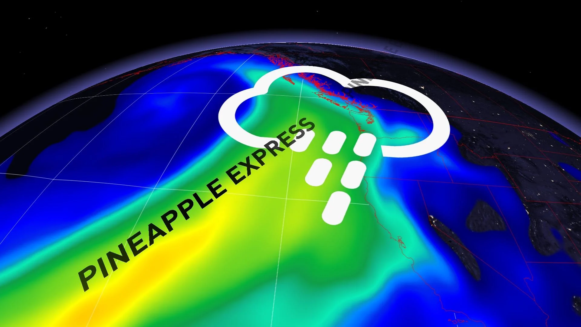
A storm inching toward the West Coast will draw on ample tropical moisture pumping in straight from Hawaii.
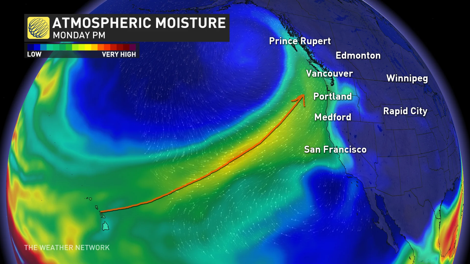
This atmospheric river, sometimes called a pineapple express given its island origins, will focus the majority of its energy stateside with excessive rains in Oregon and Washington. While the worst remains south of the border, B.C. certainly isn’t out of the woods.
The northern edge of this atmospheric river will arrive in earnest on Monday and Tuesday, bringing very heavy precipitation to most of Vancouver Island and the South Coast.

RELATED: Active weekend ahead as a strong, straight jet stream aims for Canada
Some areas could easily see more than 300 mm of rain by the end of next week, especially across western Vancouver Island and portions of the Lower Mainland.
Milder air surging into the coast within the atmospheric river will cause freezing levels to spike late Monday and into Tuesday, climbing as high as 2200 m across the South Coast peaks.
A sudden spike in freezing levels will bring rain and above-freezing temperatures into the alpine regions, which could cause instability in the fresh snowpack along the North Shore and Vancouver Island mountains.

Folks across the region should diligently check avalanche ratings and take appropriate safety measures, staying on top of the ever-present avalanche risk across the province’s terrain.
Due to the snowmelt potential heading into early next week, these regions will also need to watch the potential for rising waters in the days ahead.
Stay with The Weather Network for the latest on conditions across B.C.