Travel delays expected on the B.C. coast amid high-impact snowfall event
The first snowfall of the season at the sea level in B.C. will be highly impactful this weekend for the Lower Mainland and parts of eastern Vancouver Island
February kicks off with a wintry, chilly pattern in B.C. as Arctic air invades the South Coast.
With the colder air in place, low-elevation snow is expected Saturday to Monday for the Lower Mainland and Vancouver Island. In fact, Vancouver and other Lower Mainland areas could see more than 20 cm of snow by the time the event subsides early next week. Some communities near the North Shore could easily see 30 cm of snowfall.
DON’T MISS: La Niña and the polar vortex team up to delay spring in Canada

Various weather alerts are in place including snowfall, winter storm, extreme cold and Arctic outflow warnings, as well as special weather statements.
Be prepared for difficult travel as there will be sudden changes in road conditions and visibility throughout the Lower Mainland and parts of Vancouver Island. Temperatures will fall to near or below zero Saturday night, resulting in slippery conditions as the wet ground from recent rain or snow freezes.
Stay aware of weather alerts in your area and keep up with the latest highway conditions before heading out.
Saturday
The prolonged dry streak that gripped the province throughout January is in the rearview mirror as this new pattern takes hold.

An Arctic high continues to build across central B.C., with a weak surface low slumping south on Saturday. The setup will linger across Vancouver Island through Sunday before pushing offshore on Monday.
The coldest Arctic air won't arrive on the South Coast until Monday, when outflow conditions settle into the region.

Snowfall will ramp up across northeastern sections of the Lower Mainland on Saturday afternoon as moisture moves inland, potentially bringing 5-10 cm, locally.
Prepare for quickly changing and deteriorating travel conditions.
"Visibility may be suddenly reduced at times in heavy snow. Surfaces such as highways, roads, walkways and parking lots may become difficult to navigate due to accumulating snow," Environment and Climate Change Canada (ECCC) says in the snowfall warning for Metro Vancouver.
The big event arrives into Sunday.
Sunday through Monday
Bands of locally heavy snow move across Metro Vancouver by the pre-dawn hours Sunday morning as the low-pressure system hugs the Strait of Georgia. The system will both reinforce the cold air, and provide the moisture and lift needed for widespread snowfall to end the weekend.

Temperatures staying below the freezing mark can be expected Sunday and into next week, including for Victoria, B.C. The last time Vancouver and Victoria had daytime highs of 0 C or lower was from Jan. 12-14 2024, and in December 2022 prior to that.
Convergence of winds along the North Shore and regions south of the mountains will increase snowfall rates. Locally, up to 20 cm of snowfall is possible during this period under the heaviest bands of snow.
Breaks in heavy snow-showers will pop up in the afternoon as temperatures stick around the freezing mark and 1°C across much of the area.

Sunday overnight will see cooler Arctic air pushing in towards the coast, aided by the low, with bands of heavy snow across the South Coast.
On Monday morning, periods of snow will continue for the Lower Mainland, tapering by the afternoon period. However, snowfall will continue across Vancouver Island during that time.
Locally, significant, additional snowfall accumulations can be expected as the Arctic front reaches the outer coast, merging with the weak trough.
As well, strait-effect snow will continue into Tuesday for eastern Vancouver Island, with heavy rates around the Tofino and Ucluelet areas. Notable convergence is expected along the lingering trough, so snow will hang on for the Gulf Islands and southern Vancouver Island.
The pattern will be good news for the province's ski resorts. It will help replenish the ski hills with some fresh, new snow and finally bring winter to coastal sections, which have been missing it so far this season.
Stay with The Weather Network for all the latest on your forecast across British Columbia.
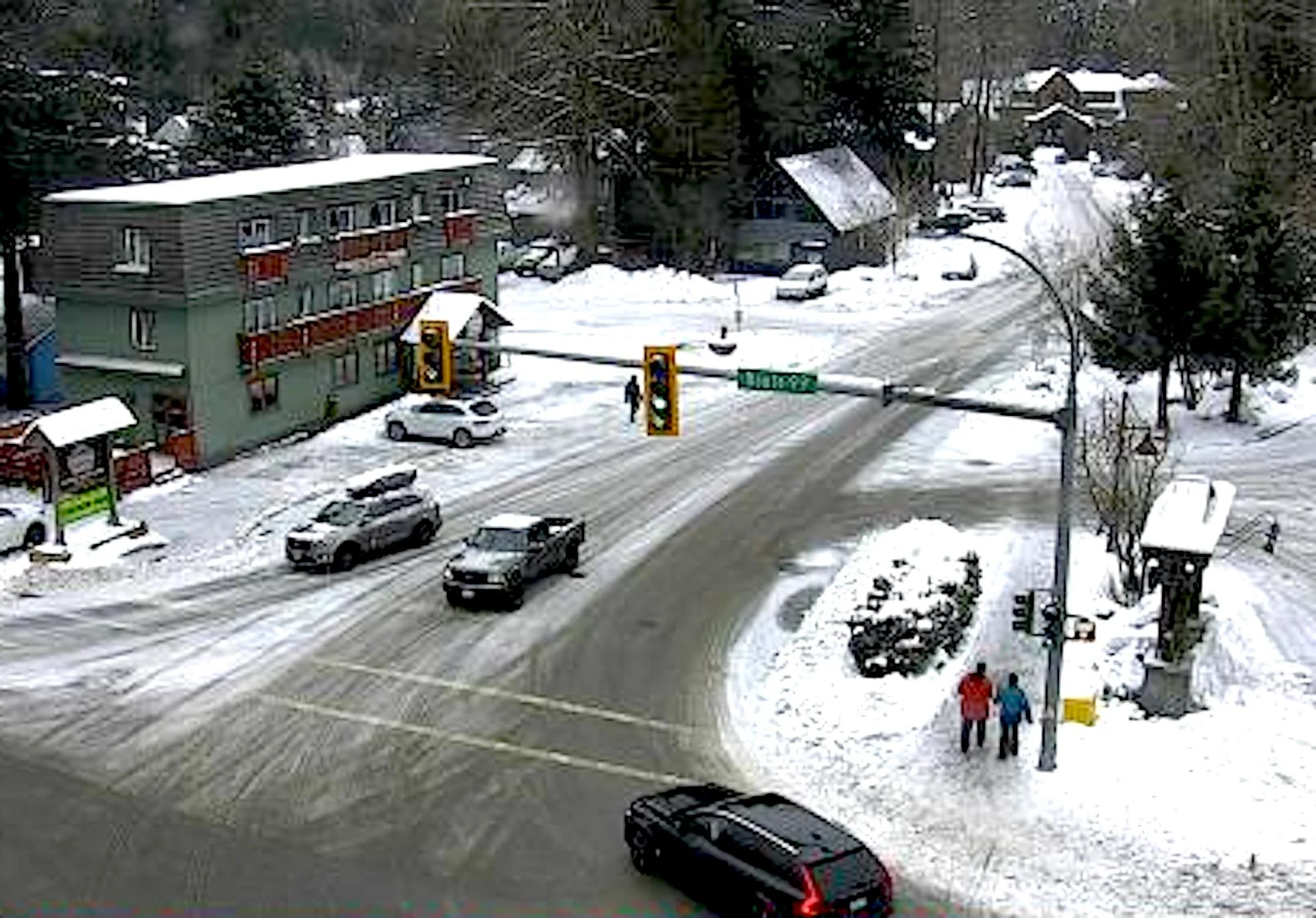
Thumbnail courtesy of DriveBC. It contains webcam imagery from Highway 99 (Whistler to Lillooet), taken on Feb. 1