Another risk for severe storms pops up Sunday in Ontario, Quebec

While Sunday shouldn’t see nearly the hopping activity we saw on Saturday, parts of Ontario and Quebec will need to watch for strong storms and warnings
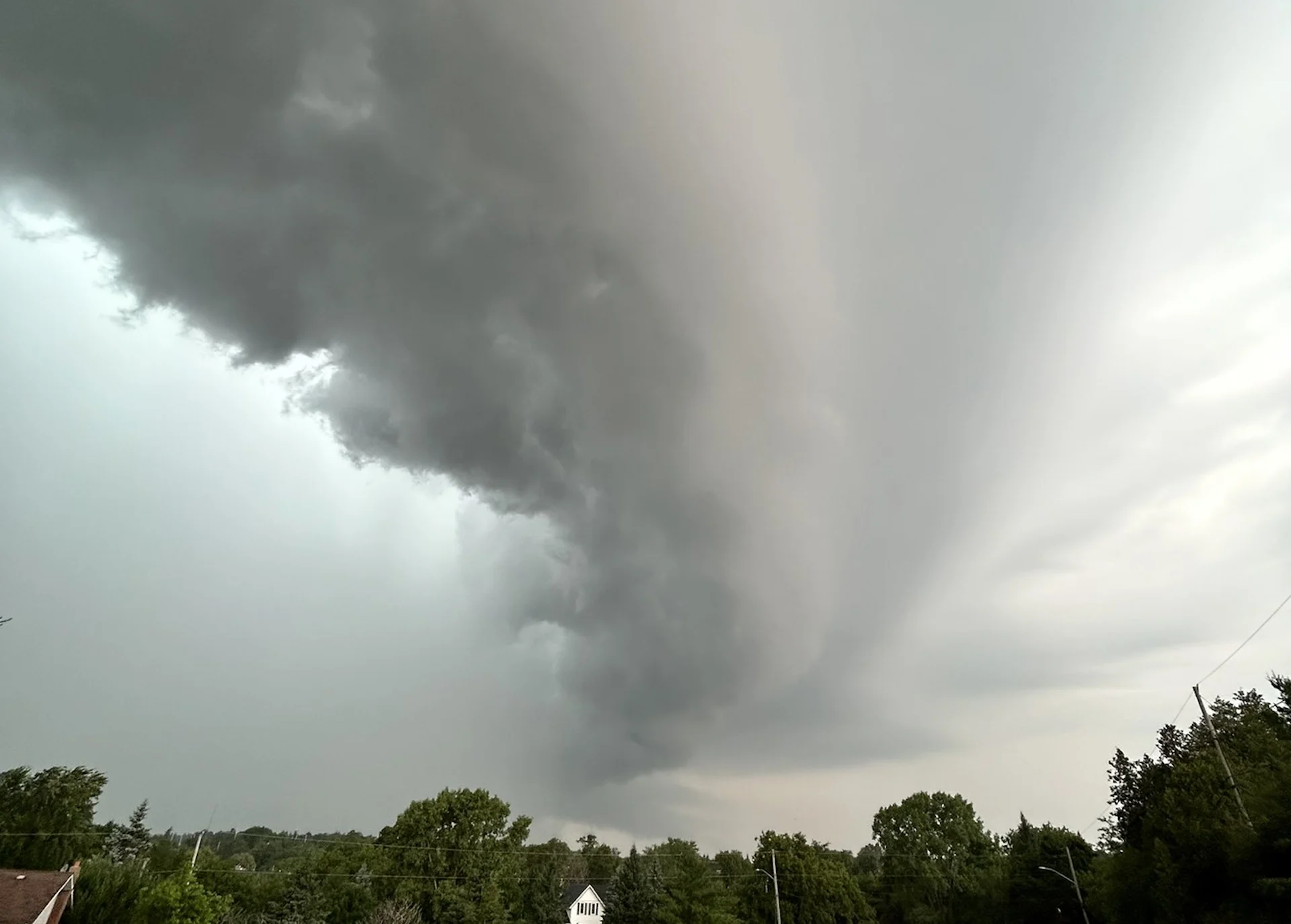
Saturday was quite the day across portions of Ontario and Quebec as powerful thunderstorms swept through the two provinces. We saw widespread severe thunderstorms with occasional tornado warnings on Saturday, delaying Canada Day celebrations in many communities.
We’ll see a renewed threat for strong to severe thunderstorms across the region on Sunday, though not nearly on the level we saw a day earlier.
Keep the radar handy on your phone if you’re under the threat of storms on Sunday, and make a plan to seek shelter in a hurry if hazardous weather approaches your location.
DON'T MISS: A turbulent July promises smoke, storms, heat, and drought across Canada
Sunday
Areas: Ontario and Quebec
Timing: Afternoon and the evening
Weather: Some residual thunderstorms will likely continue across parts of Ontario and Quebec through the overnight hours late Saturday into Sunday morning.
By Sunday, we’ll see a second low-pressure centre tracking into the region. This arriving system will bring widespread rain to southern Ontario, including the Greater Toronto Area. Some embedded thunderstorms are possible.

The clouds and rain will keep temperatures on the lower side across the region, with daytime highs only climbing into the lower 20s for most of southern Ontario.
Farther north, however, instability and upper-level support could give rise to thunderstorms through parts of cottage country, eastern Ontario, and north through Quebec.

Any thunderstorms that reach severe limits could produce large hail, strong wind gusts, and heavy rainfall.
Sunday’s renewed storm risk may threaten any outdoor plans as this long holiday weekend continues.
Monday
Areas: Ontario and Quebec
Timing: Afternoon and the evening
Weather: The threat for thunderstorms continues in place for Monday. This slow moving low pressure system will continue to bring the threat to see severe storms across eastern Ontario, central and southern regions of Quebec.
There is the threat to see non-severe storms throughout the afternoon into the evening hours for areas across the Greater Toronto Area and southwestern Ontario. The main hazards are large hail, heavy rainfall giving way to heavy downpours, and strong wind gusts.

A slight break in the precipitation Tuesday and Wednesday, but temperatures will soar into the low 30s for southern Ontario with humidex values into the near 40s.
Keep The Weather Network’s app handy on your phone to peek at the radar and keep up with watches and warnings as the day progresses.
Stay close to a safe shelter in case storms threaten your location. And remember, the greatest danger in any thunderstorm is lightning. If you can hear thunder, you’re close enough to be struck by lightning.
Stay with The Weather Network for the latest on the severe storm threat across the region.