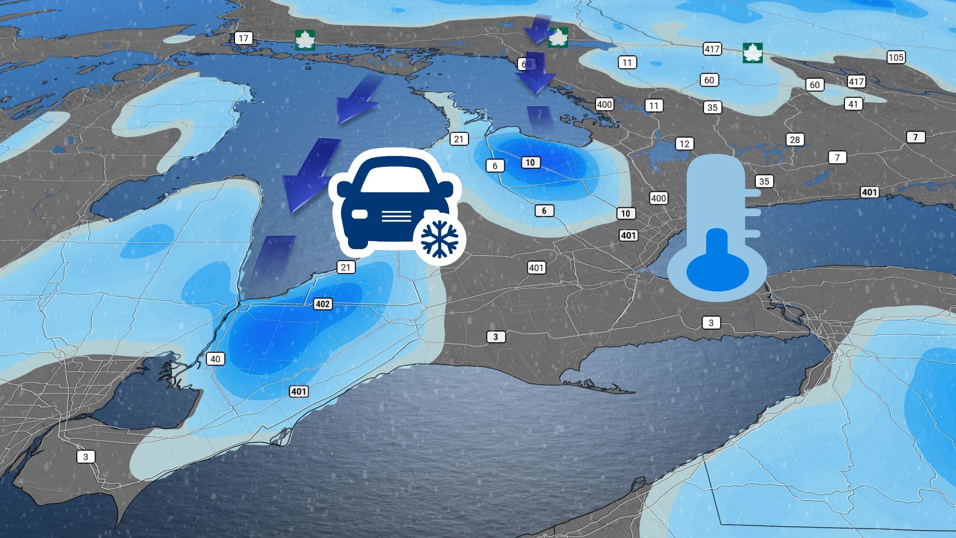
0 degrees and flurries: Southern Ontario gets a taste of winter

As temperatures in Toronto finally reached zero degrees for the first time since spring, other parts of southern Ontario are getting their first snowy taste of winter on Friday.
While other provinces have had a snowy taste of the winter to come, temperatures in Ontario have stayed well above seasonal thanks to a block of high pressure off the United States' East Coast.
But that has now changed, as a deep, upper-level trough digs across much of Eastern Canada and the U.S., dragging cold, northern air southward.
SEE ALSO: What this record-breaking jet stream may mean for Canada's winter
In fact, Toronto's Pearson Airport (YYZ) recorded a low temperature of -0.1°C on Thursday night, marking the first time the city has had temperatures below freezing since May 3 earlier this year. With the wind chill, it actually felt more like -4.
Typically, we see Toronto record its first zero-degree reading around mid-October. If the freezing temperatures had held off for one more day, this year would've tied for the latest zero-degree reading of the season on record.
With the chilly air will also come a chance for snow and lake-effect flurries across parts of southern Ontario through Friday and into Saturday. While accumulations may not be high, the first snowfall can catch many drivers off guard, especially for those who haven't put their winter tires on.
Potential for lake-effect snow Friday
This is expected to be the coldest burst of air of the season so far for southern Ontario. Daytime highs across the region on Friday are forecast to stay in the single digits, and wind chills should make it feel even colder.
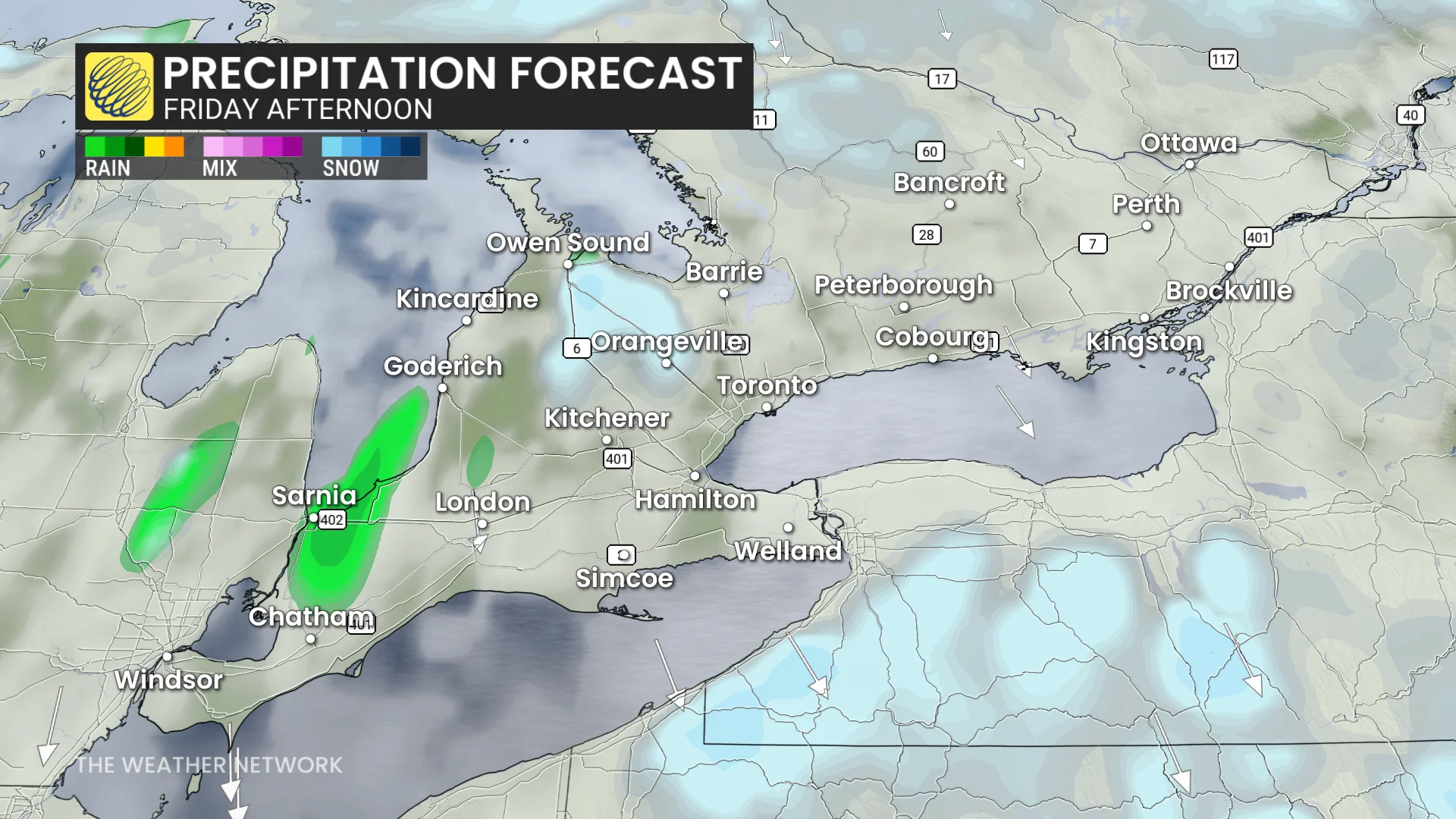
As cold air continues to be pulled south and a stiff northeast wind picks up, we could see lake-effect flurries begin Friday morning on the southwest side of Georgian Bay.
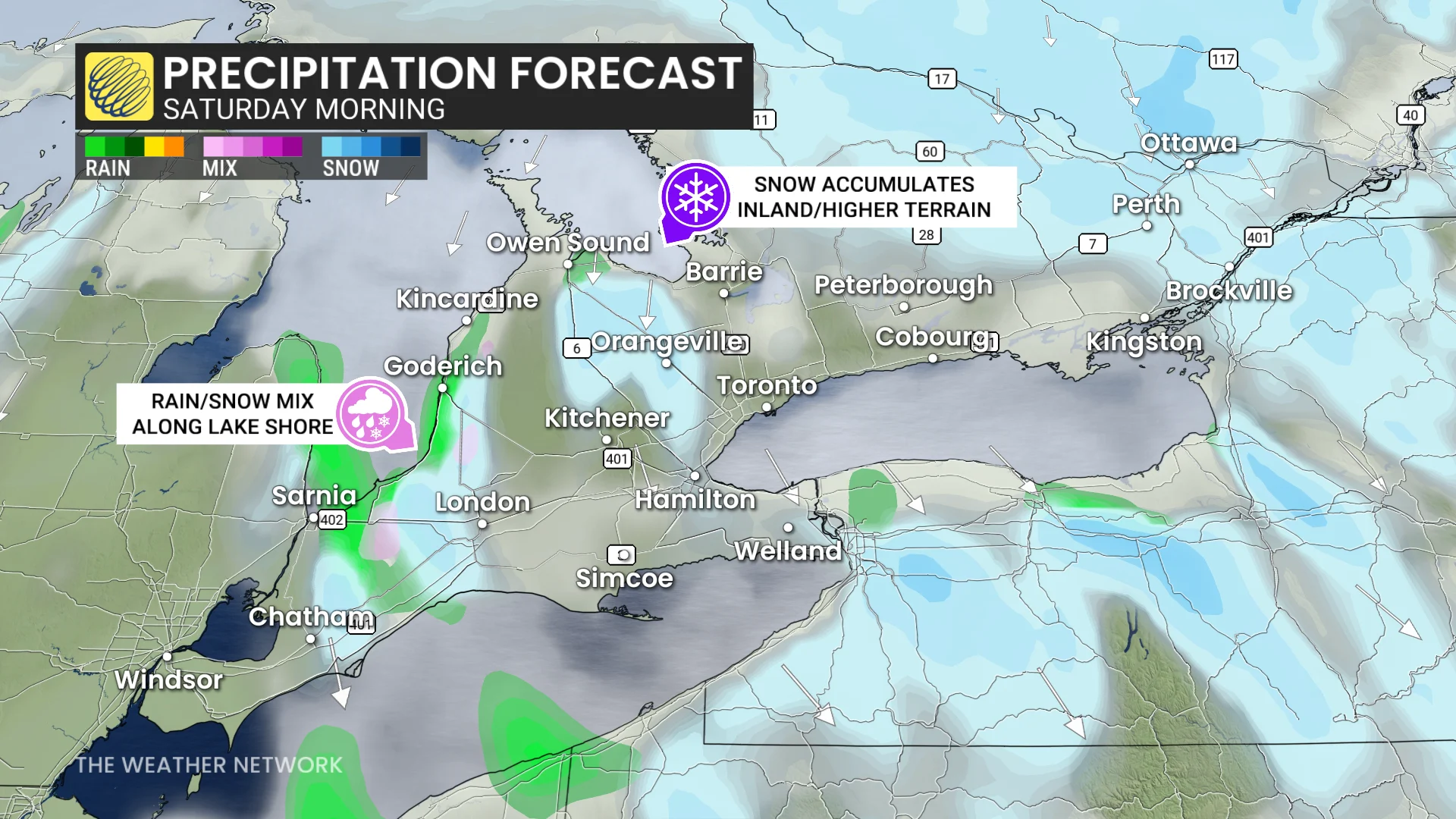
Farther south, along Lake Huron's southern shores, temperatures will be slightly warmer. This means folks will likely see lake-effect rain showers rather than much snow on Friday into Saturday.
DON'T MISS: How will a strong El Niño impact lake-effect snow season?
Most folks getting snowed on will see less than 3 cm, but near 5 cm is possible for Sarnia-Lambton counties and near Collingwood as temperatures drop Friday night.
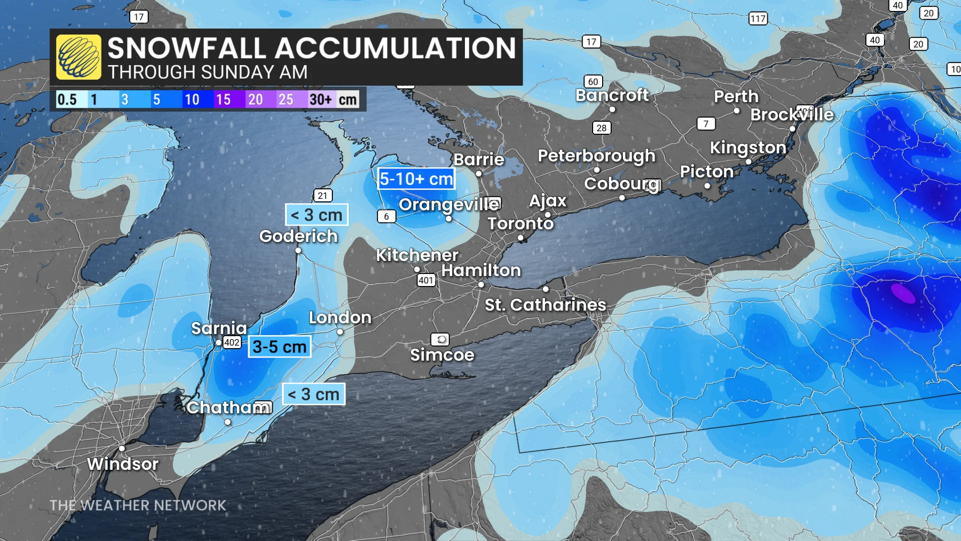
There are uncertain totals with frequent transitions over to rain during the day, leading to snow melting.
Some brief flurries may make it into the Greater Toronto Area (GTA), but the main areas to watch will be Sarnia and the snowbelt communities for the first accumulation of the season. However, Sarnia and surrounding cities will see a rain-snow mix through Saturday morning, reducing snow totals.
The snowbelt off Georgian Bay's southern shore is also in store for some snowfall, with the heaviest-hit areas forecast to see 5-10 cm, as well.
Stay with The Weather Network for more information and updates on your forecast across Ontario.