Tornado warnings dropped as threat diminishes in Manitoba, NW Ontario

Although the tornado threat is subsiding, the risk for severe storms will linger through the overnight hours Tuesday, continuing in northwestern Ontario as the surface low tracks east.
Tuesday evening was quite stormy in Manitoba and northwestern Ontario, prompting tornado watches and warnings in both provinces. Tornado warnings have since been dropped and the watches will soon expire, too, as the threat subsides. However, storms will continue to push east in the overnight period as the surface low tracks farther into northwestern Ontario. For details on the Tuesday overnight threat for thunderstorms, and what lies ahead for Wednesday, read below.
Read More: ‘Grapefruit-sized hail,’ severe storms leaves damage in parts of Alberta
Tuesday overnight/Wednesday morning: Storms track through northwestern Ontario
Although tornado watches still linger in Manitoba and northwestern Ontario, they are expected to drop shortly as the risk continues to diminish.
A round of storms will begin to develop overnight Tuesday west of Lake Superior, and move south and east through the pre-dawn and early morning hours Wednesday. The exact track and timing of this first convective system remains uncertain. The storms may produce heavy rain, hail and strong wind gusts.
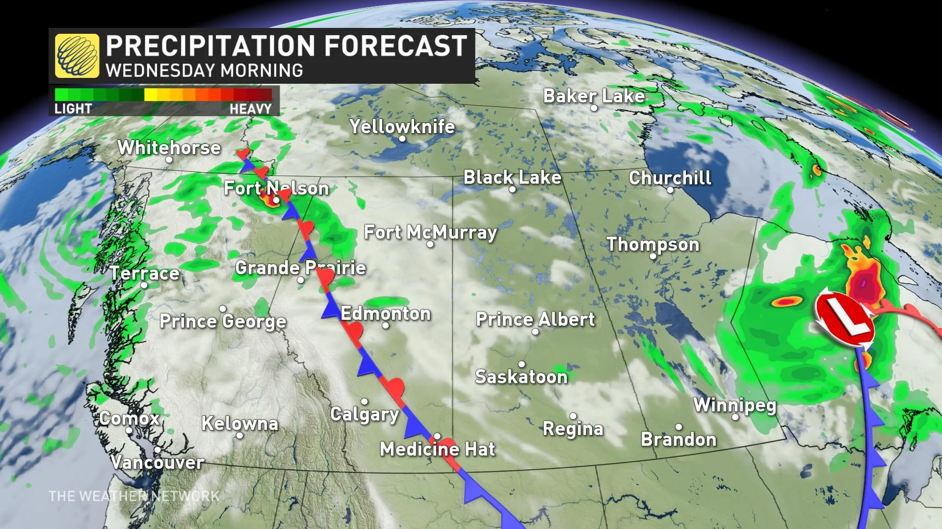
As for the rest of the day Wednesday, Saskatchewan and Manitoba will see improving conditions, though northern parts of the former may see some showers move in through the afternoon with a system draped across Alberta.
The evening and overnight period will see the system move farther south, bringing heavy rain and the risk of thunderstorms to northern and central Alberta and will continue Thursday, then shifting northward into Saskatchewan for the evening period.
For the full Prairies forecast, watch the video above.
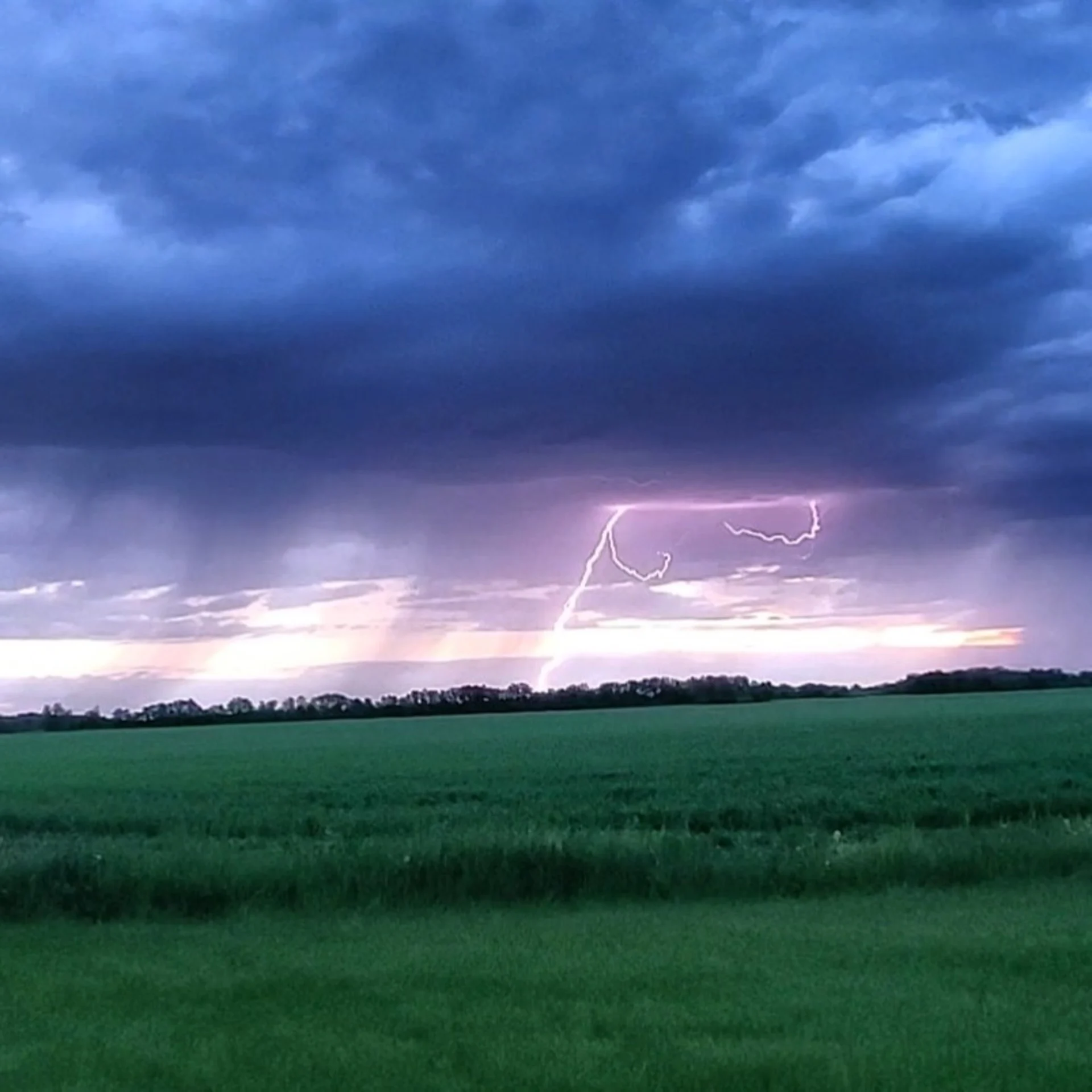
Thumbnail courtesy of Tara McConnell, taken near Winnipeg, Man.