From snow to dense fog to 18C — wild weather week hits Ontario

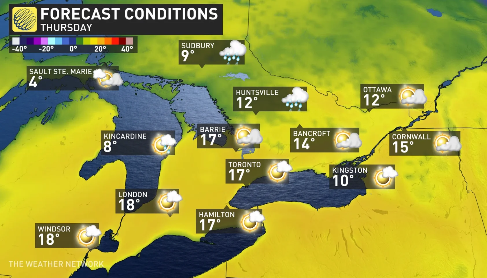
Tuesday's swath of snow will give way to near 20-degree temperatures in parts of southern Ontario on Thursday.
Snow, fog, and soaring temperatures. Welcome to the March weather madness, Ontario!
With just days left until the official start to spring, the battle of the seasons is in full swing across the region this week.
Visit our Complete Guide to Spring 2022 for an in-depth look at the Spring Forecast, tips to plan for it and much more!
Social media erupted Tuesday as a narrow swath of sneaky snow spread across sections of the Greater Toronto Area, picking up in intensity through the afternoon hours, and dropping about 10 cm of snow in the hardest hit areas, including Toronto's Pearson airport. While it wasn't anything overly excessive in terms of a winter snowstorm, this late in the season, it left many southern Ontarians less than impressed.
The size of the fluffy snowflakes, however, were something to adire. That was in part to a very deep dentritic growth zone -- the zone in the atmosphere where snowflakes are made.
"This is a region of the atmosphere where there is lots of moisture, a temperature range of -12°C and -18°C aloft and rising air or lift present," explains Kelly Sonnenburg, a meteorologist at The Weather Network. "And with temperatures remaining near the freezing mark for most of the day, that fluffy snow that fell also remained quite wet, so a lot of it just melted on contact, especially on roads and sidewalks."
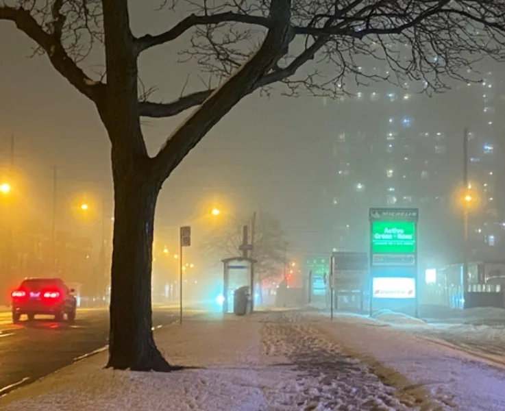
DANGEROUS TRAVEL AMID DENSE FOG
As the system departed Tuesday evening, the travel woes continued into the early morning hours on Wednesday, with widespread fog advisories covering the region first thing.
Abundant moisture from the system was left to linger in the morning hours, and that in turn collided with the incoming milder air, creating a moist temperature inversion, which resulted in the dense fog and dangerous fog.
"Travel is expected to be hazardous due to reduced visibility," warned Environment and Climate Change Canada (ECCC) in the advisory, adding that with temperatures near or just below the freezing mark, the fog may deposit ice on untreated surfaces.
"Some roads and sidewalks may become slippery as a result."
The one upside to the development of fog however, is an early sign of the milder temperatures to come.
By Thursday, some parts of southern Ontario may be approaching the 20-degree mark. Don't get too comfortable though, as we watch for an incoming system and yet another chance for snow as early as this weekend.
See more of this week's wild weather rollercoaster, below.