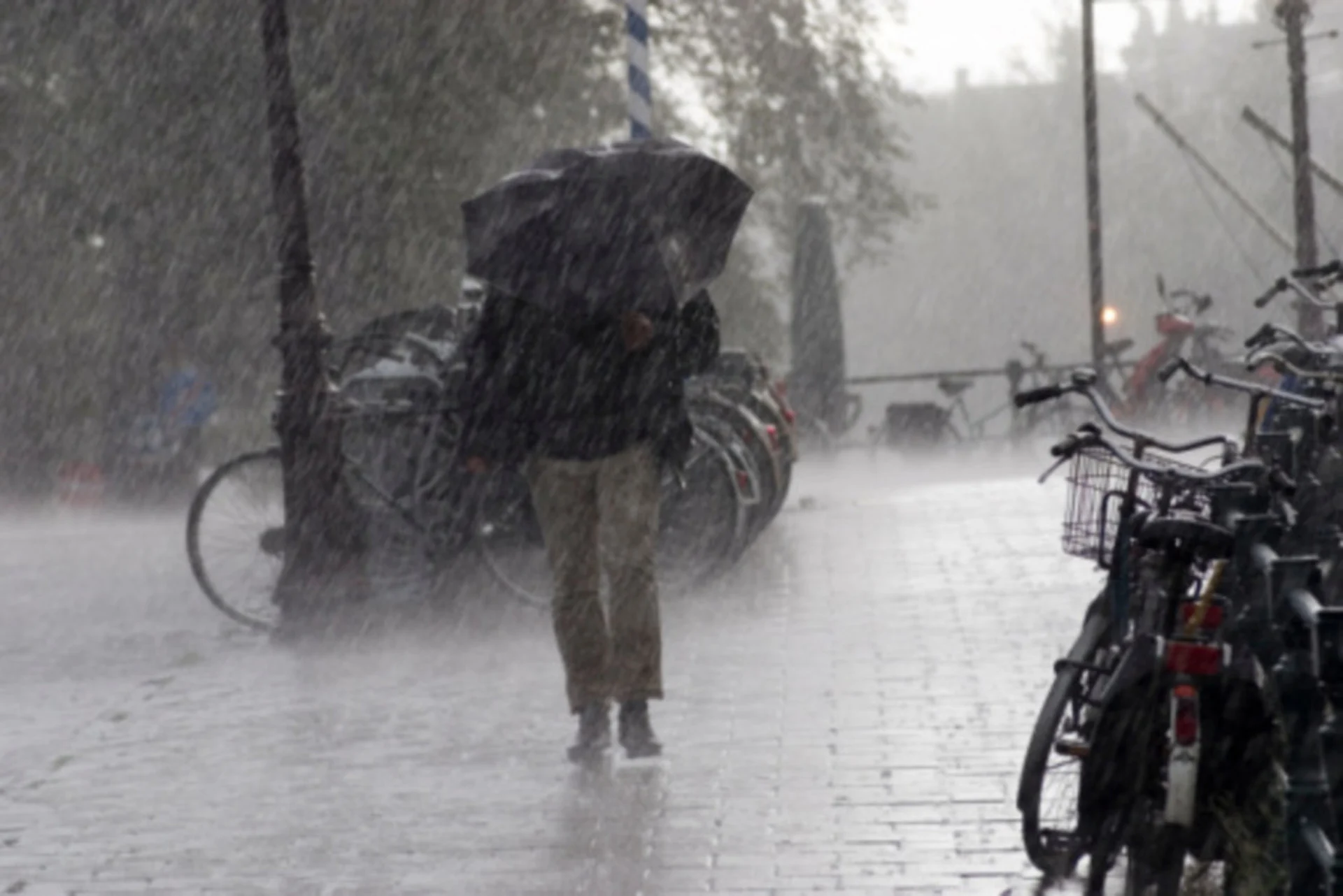
Drought-stricken B.C. hunkers down for buckets of rain

A slug of moisture flowing in from the Pacific will bring some parts of B.C. more rain than they’ve seen in the past few months combined.
Get ready for another stretch of soggy weather, British Columbia, as a slug of moisture arriving from the Pacific Ocean washes over the province with plenty of rain over the next couple of days.
We’re watching the potential for triple-digit rainfall totals across portions of the province.
MUST SEE: B.C.'s 'stormy' pattern won't flip the switch on the current drought
Special weather statements and several rainfall warnings are in place.
Strong winds will continue into Sunday for the Strait of Georgia, where gusts could peak around 60 km/h. No ferry cancellations are forecast, however, given the magnitude of the wind speeds.
Wind
The region’s current atmospheric river will also bring the potential for very heavy rainfall and high-elevation snow through early this week.
Heavy rain that pushed onto the South Coast will reach the Fraser Valley by Sunday morning. It will begin to ease off in Vancouver Island and the Lower Mainland in the evening hours on Sunday.
However, precipitation will linger into Monday for many areas, potentially interfering with any outdoor Halloween plans during the evening hours.
WATCH: B.C. hydro warns of power outages this storm season
Significant rain will fall during this period. Precipitation totals will vary based on terrain, but an additional 50-150 mm could fall through the first half of the workweek.
Forecast models suggest this next atmospheric river will be categorized as an AR2 -- providing beneficial rain, but still worth monitoring for some localized hazards.
Lesser rainfall amounts are expected over eastern Vancouver Island, Victoria, and southwestern sections of Metro Vancouver due to rain-shadow effects.
B.C. rain
While these waves of moisture look to bring the much needed rains to the drought-stricken regions of B.C., too much moisture in a short period of time could also bring the threat for localized flooding. Dry soils struggle to absorb moisture. Ongoing drought conditions combined with heavy rainfall could lead to more water running off than absorbing into the ground.
Droughts don’t clear up immediately either, and it often takes several systems to tip the balance towards a more traditionally wet pattern.
Freezing levels are forecast to rise up to 1800 metres for the South Coast, peaking early Monday, so expect messy travel through some of the mountain passes this weekend, as well. Most of the precipitation fails to push inland across the Interior, but dicey travel is possible across Eagle and Rogers Pass with heavy, wet snow through Wednesday.

While the month looks to end on a drier not for coastal communities, B.C. could face the prospect of another atmospheric river heading into the end of this week.
Be sure to check back for the latest on conditions across B.C.
Thumbnail courtesy of Getty Images. Credit: Doctor_bass Creative #: 105934727.