Prairies: Final weekend for deep freeze, new records set
After a memorable spell of freezing cold temperatures, some reprieve is finally ahead for the Prairies.
Extreme cold has gripped the Prairies for the past few days, and there'll be little relief Saturday for most of Alberta and southern Saskatchewan. However, Alberta sees the first signs of a return to seasonal Sunday, with relatively warmer temperatures spreading over the whole region into next week. For a more detailed breakdown, see below.
WEATHER HIGHLIGHTS
Extreme cold warnings hang on in Alberta and southern Saskatchewan
Warmup begins Friday in Alberta, spreading eastward into the new week
Stay up-to-date on the ALERTS in your area
SATURDAY: COLD TEMPERATURES HANG ON IN THE WESTERN PRAIRIES
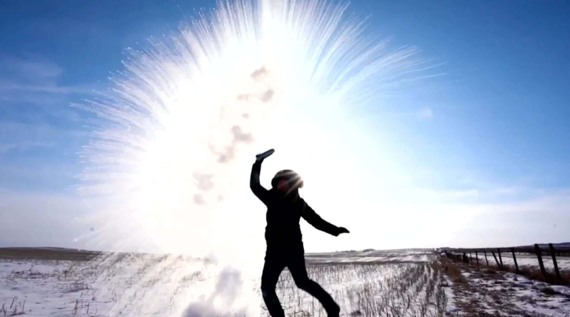
You know it's not your ordinary cold when you make it onto The Tonight Show with Jimmy Fallon, and it's not quite over yet.
Alberta and southern Saskatchewan closed out the week with extreme cold warnings in effect, with bitter temperatures hanging on for just a bit longer.
"Extreme wind chill values are expected to become more widespread again tonight and into the weekend," Environment Canada warns, noting the coldest wind chill values will be near minus 45.
RELATED: Manitoba braces for heavy, blowing snow
"Watch for cold-related symptoms: Shortness of breath, chest pain, muscle pain and weakness, numbness and colour change in fingers and toes. If it's too cold for you to stay outside, it's too cold for your pet to stay outside," the agency added.
WATCH BELOW: COLD AIR SWEEPS THE PRAIRIES ONCE AGAIN BEFORE RELIEF
The intense cold is a result of a cross-polar flow -- a looping in the jet stream that's allowed polar air, and much of the chill that usually hangs out in Siberia, to flood down into Western Canada. With the deep freezes comes the risk for frostbite, so it is recommended to limit your time outdoors to avoid exposure and symptoms from the cold air.
The dangerously cold temperatures set new record lows throughout Alberta and Saskatchewan earlier in the week, where many saw temperatures dive into the -40s during the overnight period. The City of Calgary hit -33.2°C, which broke the previous record of -31.1°C that was set in 2005. Temperatures at Edmonton International Airport Climate hit the -40s, reaching -42.2°C and surpassing the old record of -35.9°C from 2005.
SUNDAY/NEXT WEEK: WARMUP WILL FINALLY SNAP DEEP FREEZE
Most of the Prairies will have one more full weekend of extremely cold temperatures to contend with before warmer air finally brings an end to the dangerous and bitter cold that has been plaguing the region for the past week.
However, parts of southwestern Alberta will start to see the temperatures climb Sunday. Calgary is forecasted to get a daytime high of -2°C -- an 18-degree warmup from Saturday, while Lethbridge will hit 2°C -- an increase of 20 degrees in a 24-hour period.

By Monday, the warmup will continue to spread east across the Prairies, with temperatures in Calgary and Lethbridge to rise above zero. The deep freeze will end for most of Alberta and Saskatchewan, but temperatures will remain cold in Manitoba for the start of the week.
"A dramatic pattern reversal for next week – it will feel like early spring compared to this week! Temperatures will rise above freezing across southern Alberta early in the week. No major systems for the region next week," says The Weather Network meteorologist Dr. Doug Gillham.
Stay tuned to The Weather Network for the latest forecast updates.
