Damaging winds threaten B.C.'s Lower Mainland, high elevation snow

Pacific low brings continued rain and high elevation snow through Wednesday, with damaging winds threatening the Lower Mainland.
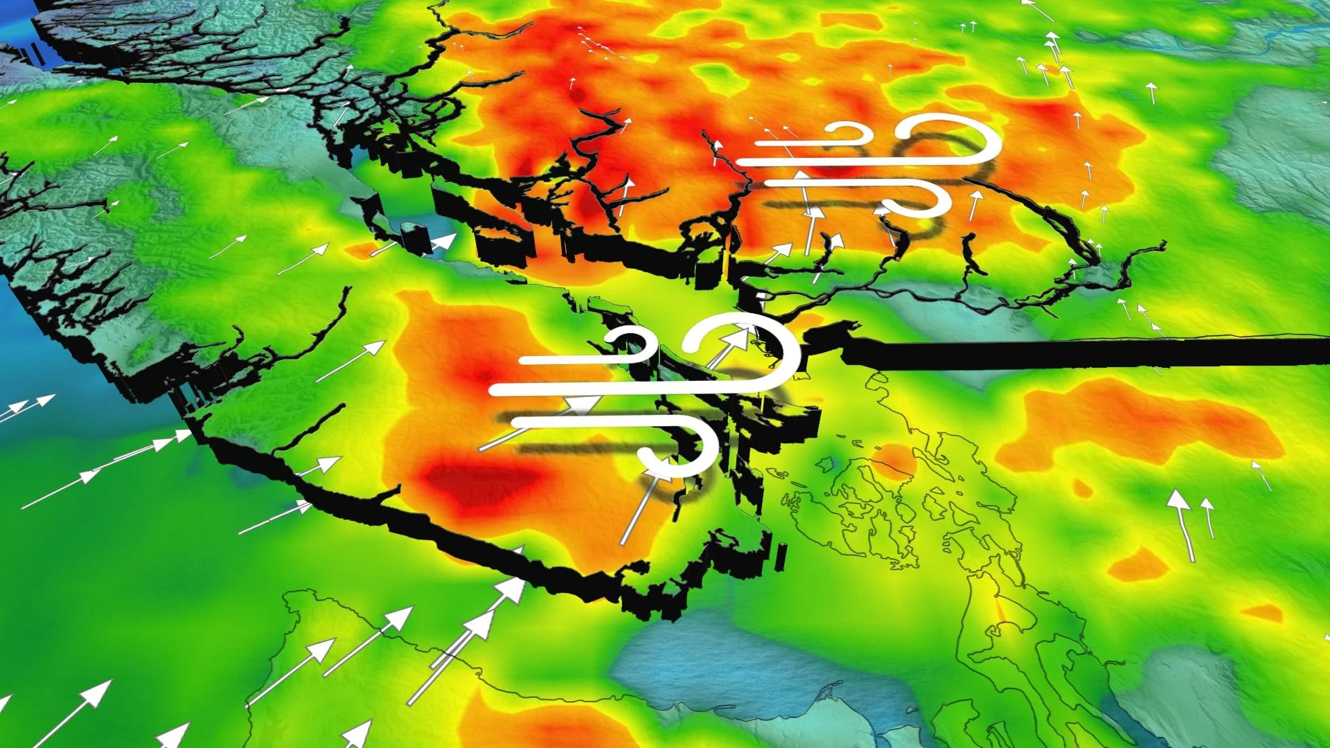
A potent Pacific system pushing onto the B.C. coast threatens periods of heavy rain, damaging winds and even high elevation snow, which could see up to 20 cm through Wednesday. A snowfall warning is in effect for this first significant event in B.C.'s Peace River region, with drivers being urged to adjust to the changing and deteriorating road conditions. Meanwhile, it'll be the winds that prove most worrisome for the Lower Mainland on Tuesday, with ferry disruptions and power outages possible as the winds peak during the afternoon. More on the timing and impacts through Wednesday, below.
TUESDAY INTO WEDNESDAY: HIGH ELEVATION SNOW PROMPTS WARNINGS, DAMAGING WIND THREAT FOR THE LOWER MAINLAND
The rain and snow with this system intensified along the north coast and interior on Monday night, prompting a snowfall warning for the B.C. Peace River region and Highway 97 to Pine Pass.
Total snowfall amounts will range from 5 to 10 cm for most areas with near 20 cm expected for the communities of Hudson Hope, Chetwynd, and Tumbler Ridge through Wednesday morning.

"Be prepared to adjust your driving with changing road conditions," says Environment and Climate Change Canada. "Prepare for quickly changing and deteriorating travel conditions."
The precipitation will stay as rain across the South Coast, with 15-40 mm forecast along and south of the Fraser River. Areas like Vancouver, Richmond and Abbotsford are likely to see 15-30 mm, with Burnaby and Coquitlam in the range of 30-50 mm.

"Rainfall rates are expected to be the most intense through the day on Tuesday, but by the afternoon and into the evening, it'll be the strong wind gusts that prove to be more worrisome for the Lower Mainland," says Nadine Powell, a meteorologist at The Weather Network.
Wind gusts through the southern Strait of Georgia and the Lower Mainland could exceed 70 km/h.
"Ferry disruptions and power outages are possible this afternoon and evening as the winds increase and peak before easing later tonight," Powell warns. "Residents should stay on alert."

THURSDAY TO SATURDAY: CONDITIONS IMPROVE AHEAD OF NEXT CHILLY SYSTEM
Conditions will settle down by the end of the week. The upper trough is lurking still, and the northwest flow is certainly a chilly one for early October.

By the weekend, another cold low moves in from the Gulf of Alaska, and it'll threaten to drop the freezing level below 1200 metres in October.
Be sure to check back for the latest weather updates in B.C.