Active AlertsArcher, IA
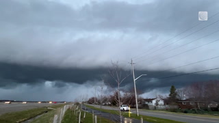
Tornado Watch
Issued at Tue 12:23 PM Apr. 16
Issued by: National Weather Service
Description
Full details
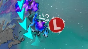
Wind Advisory
Issued at Tue 11:35 AM Apr. 16
Issued by: National Weather Service
Recommended Action
Winds this strong can make driving difficult, especially for highprofile vehicles. Use extra caution.
Description
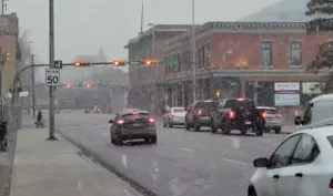
* WHAT...Southeast winds 15 to 25 mph with gusts up to 40 mph.* WHERE...Portions of northwest and west central Iowa and southwestMinnesota.* WHEN...Until 7 PM CDT this evening.* IMPACTS...Gusty winds will blow around unsecured objects. Treelimbs could be blown down and a few power outages may result.
More News from The Weather Network


Advertisement
Advertisement
Advertisement