Messy system to bring saturating rain, low-elevation snow to B.C.

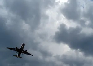
Another potent Pacific low will usher in heavy rain, alpine snow and even wet snow to the lower elevations of the B.C. coast Monday, making for tricky and dangerous travel.
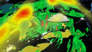
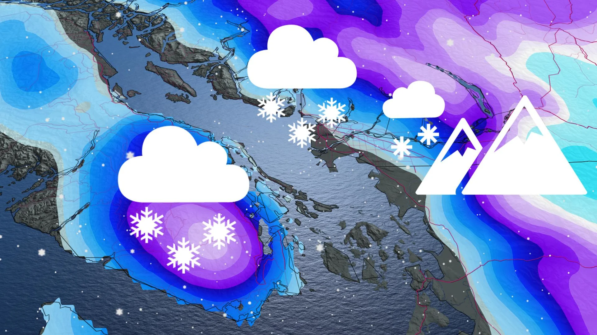
B.C. is in for another wave of heavy rain and wet snow Monday, courtesy of a deepening and moisture-packed Pacific low moving onshore. Freezing levels will plummet, even allowing for some wet snow to reach Vancouver later in the day. The snow should melt upon contact, but it could make for some tricky driving as there will also be rain mixed in. The mountain passes will see another blast of heavy snow, with 25-35 cm expected for some areas through Tuesday morning. Meanwhile, parts of Vancouver Island and the Lower Mainland may see 50-75+ mm of rain by the time it gradually tapers. Numerous watches, warnings and special weather statements cover the province for the official start to winter. More on the system and the game changer for a White Christmas, below
WEATHER HIGHLIGHTS
Monday morning starts off with some heavy rain that will turn into wet snow
High-elevation snow to make driving the mountain passes difficult
White or green Christmas? Find out below!
Visit our Complete Guide to Winter 2021 for an in depth look at the Winter Forecast, Canada's ski season, and tips to plan for everything ahead!
MONDAY INTO TUESDAY: SOAKING RAINS, WET SNOW FOR LOWER ELEVATIONS, HEAVY ALPINE SNOW
After back-to-back systems and what seems like endless soggy conditions, the official start to winter on Monday will take yet another soggy turn, as rain and snow push into southern and western Vancouver Island, as well as across the south Fraser Valley.
The potent low-pressure system will bring abundant moisture to southern sections of the South Coast. Areas with the heaviest precipitation will see the heavy rain switch over to heavy, wet snow above about 150 metres during the day. A mix of rain and snow are even possible at sea level.
Precipitation should not be as heavy for northern sections of Vancouver, so the snow level will likely stay above 200 metres. Snowfall accumulations aren't expected as snow will melt upon surface contact.

Winter storm and snowfall warnings cover much of the province, with a special weather statement in place for Metro Vancouver for the rain and wet snow forecast there.
Rainfall amounts will be considerable for parts of western Vancouver Island and the Lower Mainland, where 50-75+ mm is expected through Tuesday morning.
The system will bring heavier snowfall to the higher elevations of Vancouver Island, coastal and interior mountains. Freezing levels will be fairly low, allowing for heavy accumulations along highway passes. Freezing levels will plummet to around 500 metres Monday.

Some of the mountain passes may see 25-35 cm of snow by the time it tapers off in the overnight hours Monday. Rainfall will also subside during this time along the South Coast.
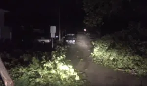
"Be prepared to adjust your driving with changing road conditions," warns Environment Canada in the warnings. "Rapidly accumulating snow could make travel difficult over some locations."
The potent storm has also prompted an elevated avalanche risk, especially along the vulnerable slopes of the South Coast.

WHITE CHRISTMAS? THIS STORM IS A GAME CHANGER
This moisture-laden Pacific low will add to an already hefty base of snow in the B.C. mountains, helping to lock in a White Christmas for the higher elevations. A White versus Green holiday for places like Kelowna will still depend on both how much snow falls with this early week system, and how much snow will hold on through the week.
Dreaming of a snowy festive season? Click here to find out if your holiday wishes will come true!
Despite some possible flakes through Metro Vancouver and Victoria as this system treks through, a milder finish to the week will likely keep Christmas green for areas near sea level.

"We'll see conditions becoming unsettled again for Christmas and Boxing Day, with some rain expected for coastal areas and alpine snow for the ski areas," says Weather Network meteorologist Dr. Doug Gillham, adding that unsettled weather will persist through the weekend and into early next week as well.
Check back as we continue to monitor the forecast for B.C.