A frigid start to 2017 for British Columbia. Here's why.
Meteorologist
Monday, January 2, 2017, 9:08 PM - Winter revellers rejoice!
Another extended period of chilly conditions is on tap for all of British Columbia this week, as cold, Arctic air once again infiltrates through the Rockies and makes its way all the way to the Pacific Ocean.
![]() WINTER IS HERE: With La Niña helping shape global patterns what will Canadians expect from winter? Find out with The Weather Network’s 2016 Winter Forecast | FORECAST & MAPS HERE
WINTER IS HERE: With La Niña helping shape global patterns what will Canadians expect from winter? Find out with The Weather Network’s 2016 Winter Forecast | FORECAST & MAPS HERE
Daytime high temperatures will struggle to get above the freezing mark anywhere across the mainland through Thursday, and give bone-chilling overnight lows in the minus 15 to minus 20oC range across much of the Interior.
Even cities on Vancouver Island will not be spared from the cold, as overnight low temperatures are forecast to drop below zero on both Tuesday and Wednesday nights.
Cold but clear week ahead
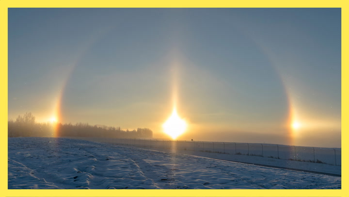
Despite the cold, conditions are forecast to be mainly clear and sunny throughout the week across the majority of the province. This is because the incoming arctic air is very dry, making it almost impossible for any clouds or precipitation to form.

It won't be until the weekend when a coastal system is forecast to bring moisture from the Pacific Ocean ashore, leading to widespread snowfall as this moisture interacts with the cold Arctic air in place.
Chilly Interior
Not surprisingly, if coastal cities are forecast to drop below zero, you can absolutely count on some of the coldest temperatures in the province being felt (or endured) in B.C.’s Interior.

It is expected that this incoming arctic air will be the coldest of the season for some cities. Nelson, for example recorded its coldest temperature of minus 11.9oC back on Dec. 17, 2016 when the previous arctic air mass was in place.
"Colder than normal” conditions?
Although extended periods of cold temperatures are no longer unfamiliar to B.C. residents this winter, you might be wondering whether or not these very cold conditions are “normal” for this time of year; after all, the past few winters have been much more mild, haven’t they?
For the statistically-inclined reader, the article here describes in detail what is meant when meteorologists compare a given temperature to its “normal”, and uses Vancouver as an example to illustrate how different December 2016 ended up being compared to 2014/2015.
![]() STORM TOOL KIT: Be prepared for severe weather with The Weather Network's online essentials: ALERTS | LIVE RADAR | UPLOAD PHOTOS/VIDEOS | LATEST NEWS | FOLLOW ON TWITTER | HIGHWAY FORECAST | AIRPORT FORECAST
STORM TOOL KIT: Be prepared for severe weather with The Weather Network's online essentials: ALERTS | LIVE RADAR | UPLOAD PHOTOS/VIDEOS | LATEST NEWS | FOLLOW ON TWITTER | HIGHWAY FORECAST | AIRPORT FORECAST
Of course, if the thought of reading an entire article devoted to meteorological statistics makes you wince (I certainly wouldn’t blame you!), here’s the short answer: while these forecasted conditions are certainly much colder compared to the past two years, they are fairly normal when compared to the climatological average taken over the past 30 years.
Vancouver, for example, sees an average of six days in January where the temperature drops below -2 C, while Victoria sees five.
Kamloops, as another example, sees roughly eight days on average where the temperature drops below -10 C, and two below -20 C.
Similarly for Kelowna, six days on average drop below -10 C there, and only 1 drops below -20 C.
Dress warmly & enjoy the sun!
No matter what the statistics say, be sure to factor in these temperatures when venturing outside next week. And at the risk of sounding like an over-bearing mother, be sure take extra precautions at night if you’re travelling in the Interior: emergency blankets, gloves, toques, and scarves should be kept in your car just in case something goes awry.
Stay warm and stay tuned for updates as they become available!
![]() KEEP ON TOP OF ACTIVE WEATHER: Visit the Alerts section of the website
KEEP ON TOP OF ACTIVE WEATHER: Visit the Alerts section of the website