Why did NASA fly a former Cold War spy plane over B.C. wildfires?

NASA used a high-altitude aircraft, once a Cold War spy plane, to fly over B.C. wildfires on the weekend as part of its research program
B.C. is in the midst of an extremely dangerous wildfire situation, prompting a provincewide state of emergency, as favourable weather conditions continue to create new blazes and help existing fires grow.
Some of the wildfires this year have been so intense they have created their own thunderstorms, visually stunning phenomena known as pyrocumulonimbus clouds.
To study them further for a more thorough understanding, NASA flew one of its two Airborne Science ER-2 aircraft over B.C. wildfires over the weekend, reported by The Canadian Press.
According to accounts, the ER-2 plane flew back and forth across the southern Interior more than a dozen times on Saturday, a path that originated from its initial departure from Montana.
The Canadian Press cited data from the Flightradar24 website that indicated the plane was in the air for about four hours, flying at an altitude of 60,000 feet over the Clinton, B.C., area, near the Pear Lake wildfire.
Aircraft used by NASA was a Cold War spy plane
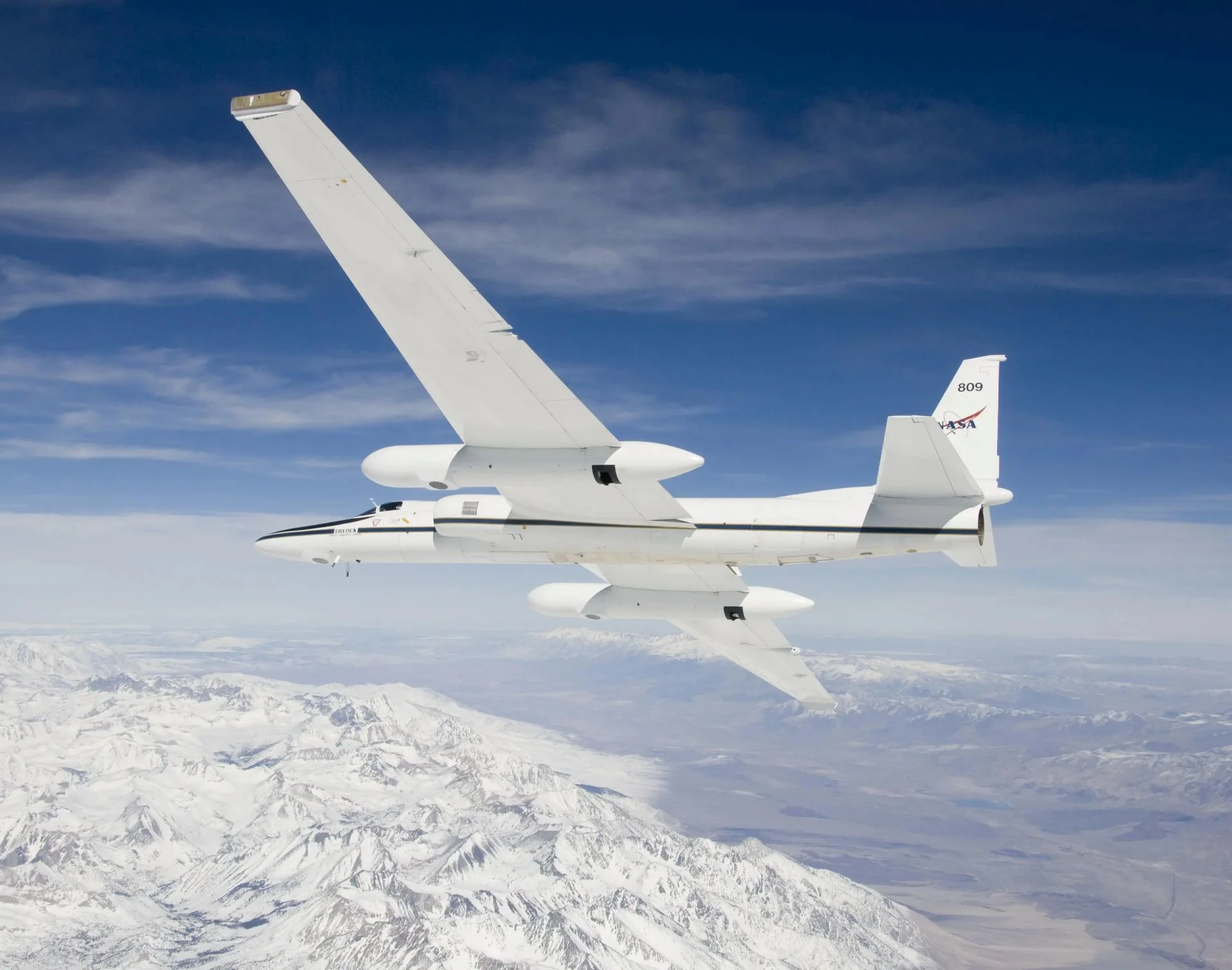
What's unique about the ER-2 is that it was, at one time, a Cold War spy plane, according to The Canadian Press.
It is known as an U-2, which is in the record books for its extreme altitude flights. They are up to twice as high as the normal altitude of commercial flights.
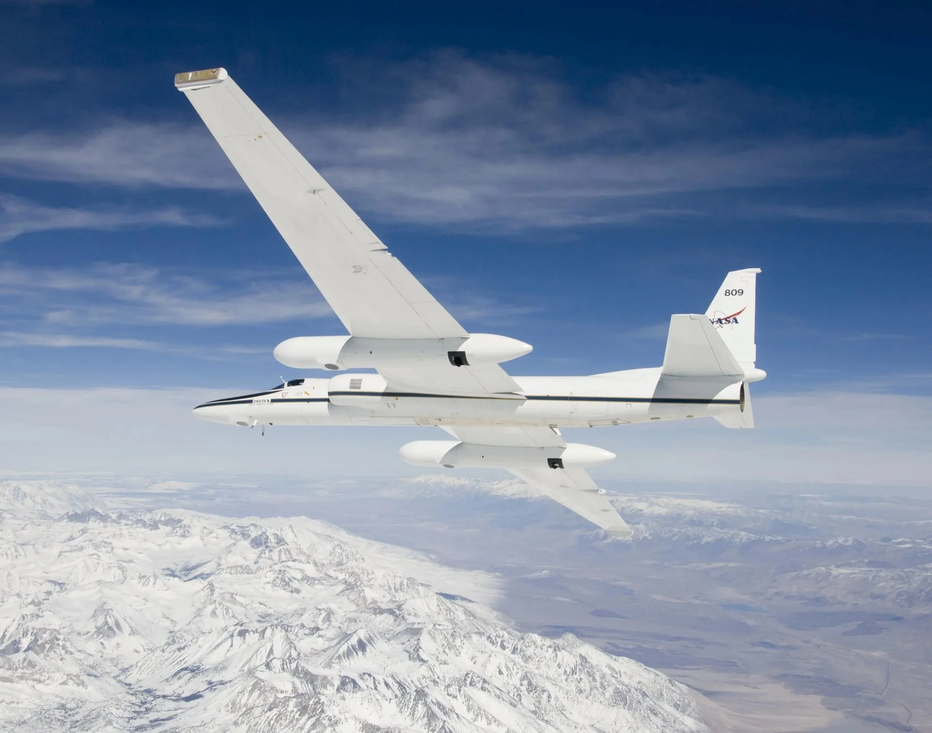
NASA Airborne Science ER-2 aircraft. (NASA/Carla Thomas)
The flight and its onboard instruments were part of NASA's FireSense program and the Injected Smoke and PYRocumulonimbus Experiment (INSPYRE) project. The latter is being led by the Naval Research Laboratory.
NASA wants to measure and map the pyrocumulonimbus clouds as they form in real-time to help scientists forecast them in the future, the agency said.
What are pyrocumulonimbus clouds?
Pyrocumulonimbus’ clouds are extreme, fire-generated thunderstorm systems driven by the intense heat and massive updrafts of severe wildfires.
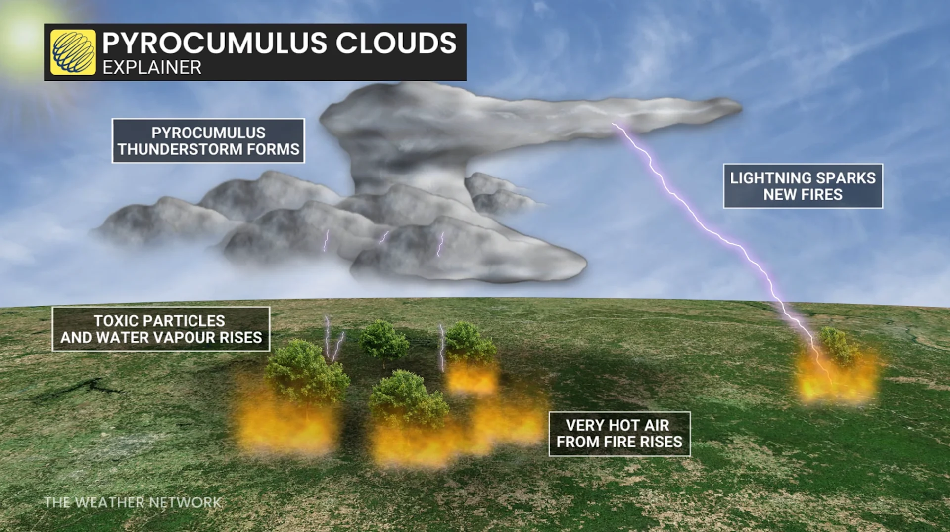
These clouds always start off as pyrocumulus’ clouds, formed when a cumulus cloud develops over the top of a wildfire’s smoke column. Only a small fraction of pyrocumulus clouds transition into pyrocumulonimbus clouds, and researchers are still trying to figure out the exact mechanisms for this transition.
With files from Anika Beaudry, a digital reporter at The Weather Network.
Thumbnail courtesy of NASA/Carla Thomas.