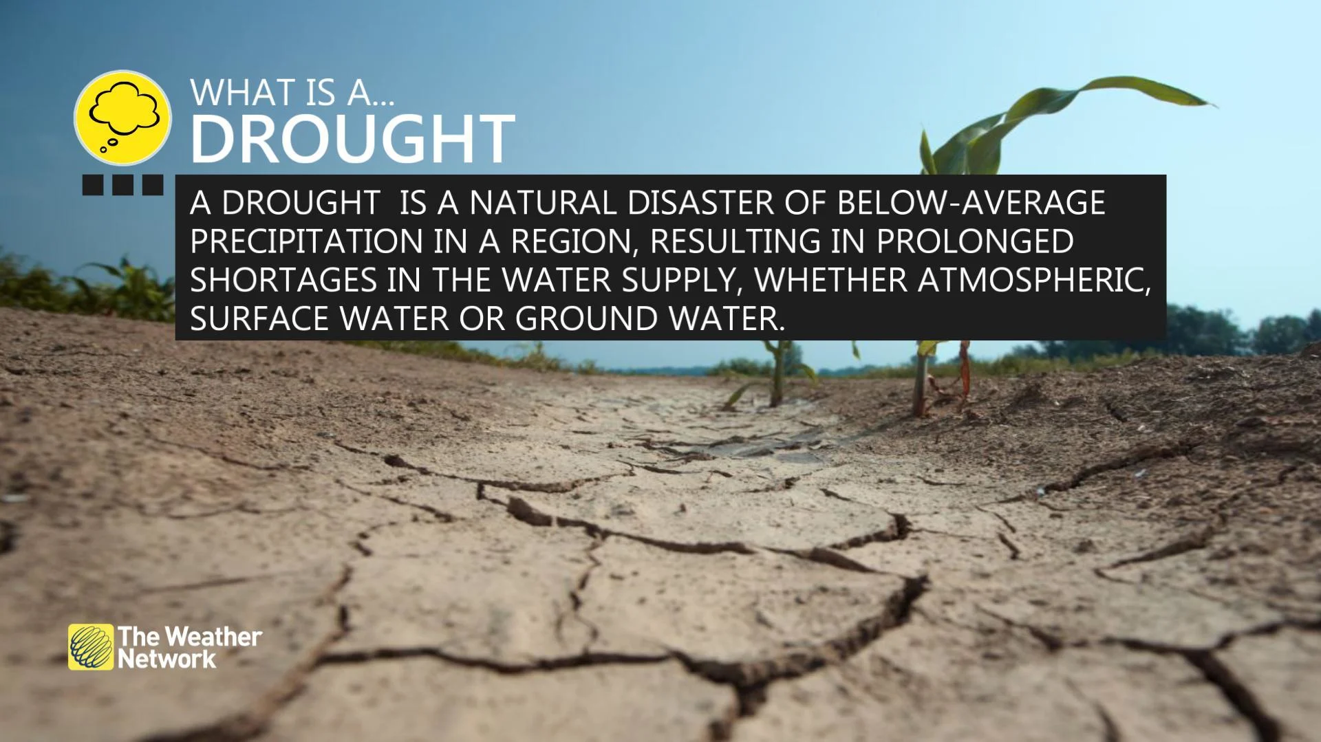
Understand how B.C.'s drought is affecting communities
This week, British Columbians heard some troubling news about drought conditions affecting large parts of the province, bringing concerns about water scarcity and possible restrictions.
Officials have warned of a "very serious drought season that will require action for everyone" and asked residents to take shorter showers, limit lawn watering and only do laundry when they have a full load.
RELATED: Northwest B.C. under stress as wildfire evacuations, state of emergency declared
Water-intensive oil and gas operations have already had restrictions imposed on them by the B.C. Energy Regulator and more limits on residential water use may be in the future.
But sorting out how the drought is affecting different parts of the province and what that means for residents of those regions isn't particularly straightforward.
To shed some light on the situation, CBC News spoke with Jonathan Boyd, a hydrologist with the River Forecast Centre.
"I can understand the confusion," he said. "Of course, the recommendation of conservation should be applied every summer in British Columbia, no matter what the situation is."
Here, he answers some common questions about understanding B.C.'s latest drought.
I've heard that drought conditions are especially bad in certain 'water basins.' What does that mean?
When Minister of Emergency Management and Climate Readiness Bowinn Ma said that "over two-thirds of our water basins are in Level 4 or 5" drought, she was referring to the 34 regional divisions the province has made for drought management purposes.
Boyd said that, in most cases, it means the same thing as a watershed or a catchment area.
"Essentially," Boyd explained, "all of the water that would drop on the land that then might end up in the same river constitutes what would be a water basin."
But that's not true in all cases, he added. Some of the province's so-called water basins are actually geographical regions, like Haida Gwaii or east and west Vancouver Island, which aren't connected to specific rivers.

People walk along the shore of Alouette Lake, which has receded due to drought like conditions in Golden Ears Park in Maple Ridge, British Columbia on Tuesday, October 18, 2022. The province says data shows the drought situation in 2023 is more dire than last year. (Ben Nelms/CBC)
How do I figure out what water basin I live in and what the drought level is?
The B.C. Drought Information Portal is probably the best place to start. It includes a map showing the outlines of the water basins, with their current drought levels, ranging from "adverse impacts rare" at Level 1 to "adverse impacts almost certain" at Level 5.
Most major cities, including those in the Lower Mainland and on Vancouver Island, sit entirely within a single water basin. On the other hand, places like Prince George and Kamloops are divided — a reminder that cities are often settled at the confluence of two or more river systems.
How are drought levels decided?
There's a provincial drought technical working group that meets every two weeks beginning in the late spring or early summer to work this out, Boyd explained.
"That's under normal conditions. But when conditions become a bit more challenging, that switches to a weekly meeting" where drought levels are decided, he said.
The River Forecast Centre will bring its recommendations for drought levels, and regional representatives will come with their own assessment based on discussions with people like hydrologists, meteorologists, fisheries biologists and agricultural representatives.
Boyd said the weekly determination of the drought level isn't just about hitting a certain threshold for low streamflow for the rivers in a particular region. The time of year might also come into play — usually, lower water levels are expected beginning in late August, but this year they've come alarmingly early.
WATCH: Urban tree selection changing as B.C. gets hotter and hotter
What about residential lawn watering restrictions? How are those connected to drought levels?
It's not a direct connection, exactly. The drought levels decided by the province are determined by factors like precipitation, snowmelt and water levels — things over which we have little immediate control.
In B.C.'s larger cities, the drinking water that's used to sprinkle lawns comes from protected storage systems, such as dammed reservoirs or underground aquifers, which are less prone to be affected by the weather.
For example, where Boyd lives in Victoria, the drought has hit the highest end of the scale at Level 5, but the Capital Regional District's reservoirs were still 86 per cent full as of July 9. That helps to explain why watering restrictions haven't progressed beyond Stage 1, which is automatically in effect every summer.
How do I find out about my local watering restrictions?
We wish we had a simple answer for you.
You can learn about your residential watering restrictions from whatever body supplies your drinking water, but there's a huge range of different systems across the province. In some cases, it might be the city you live in. In others, the regional district or First Nation, but there could also be small waterworks or irrigation districts serving individual neighbourhoods within a city.
For example, in the Victoria and Vancouver areas, the Capital Regional District and Metro Vancouver supply water across several municipalities, while cities like Prince George and Kamloops have their own local water utilities.
Then there's Kelowna. The city is home to four separate utilities supplying water to residents, depending on where they live. Each one of those utilities can issue its own watering restrictions.
WATCH: Report predicts staggering economic impacts from climate change
How long is this drought going to last?
This is the question Boyd says he gets asked more often than any other, and he says it's tricky to answer because weather is difficult to predict beyond 10 days into the future.
Still, the prognosis isn't great.
"For Vancouver Island and the South Coast, typically July and August are the driest months of the year, so the expectation is that unless we get really wet, cold conditions … the drought conditions are going to worsen," Boyd said.
Summer weather in the Interior can be a bit more erratic, so it's possible there could be some significant rainstorms bringing a bit of local relief, he added.
"What I haven't seen before is just how widespread and severe it is across the province, especially this early in the season," Boyd said.
"I just don't see a way that all of B.C. would end up out of this drought situation unless we had, unfortunately, such heavy rain that it might actually cause flooding.
Thumbnail courtesy of Justine Boulin/CBC.
This article was written by Bethany Lindsay and published for CBC News.