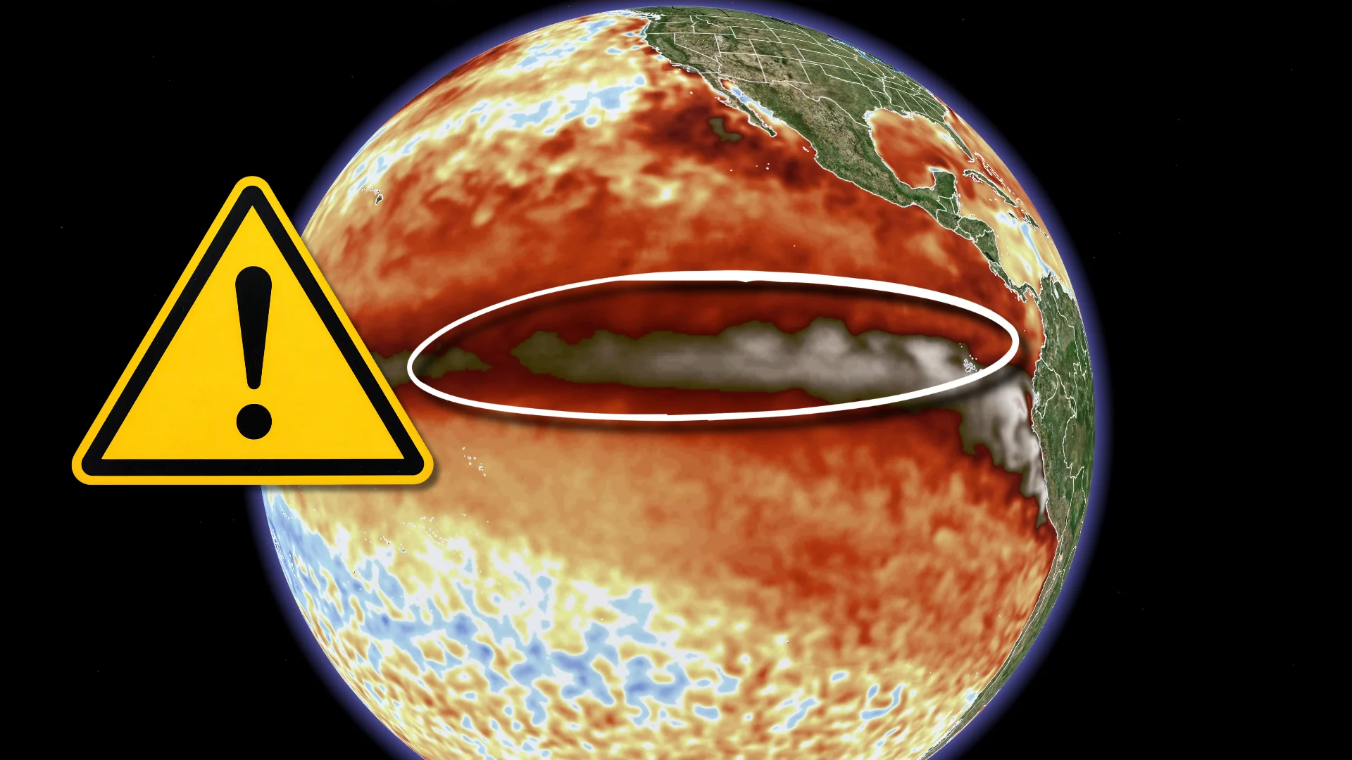
Temperatures soaring as extraordinary El Niño intensifies

This is already one of the strongest El Niño events on record and there’s no end in sight to the warming of these Pacific waters
Water temperatures in the Pacific Ocean are rapidly rising as our El Niño pattern continues to strengthen into the waning days of summer.
A key region of the Pacific is already experiencing its warmest summertime sea surface temperatures on record, and all indications point toward further historic warming in the weeks and months to come.
DON’T MISS: Experts are changing how we measure El Niño and La Niña
Strong El Niño already present with plenty of room to grow
Scientists base El Niño conditions on sea surface temperature anomalies across the Niño 3.4 region of the Pacific Ocean.
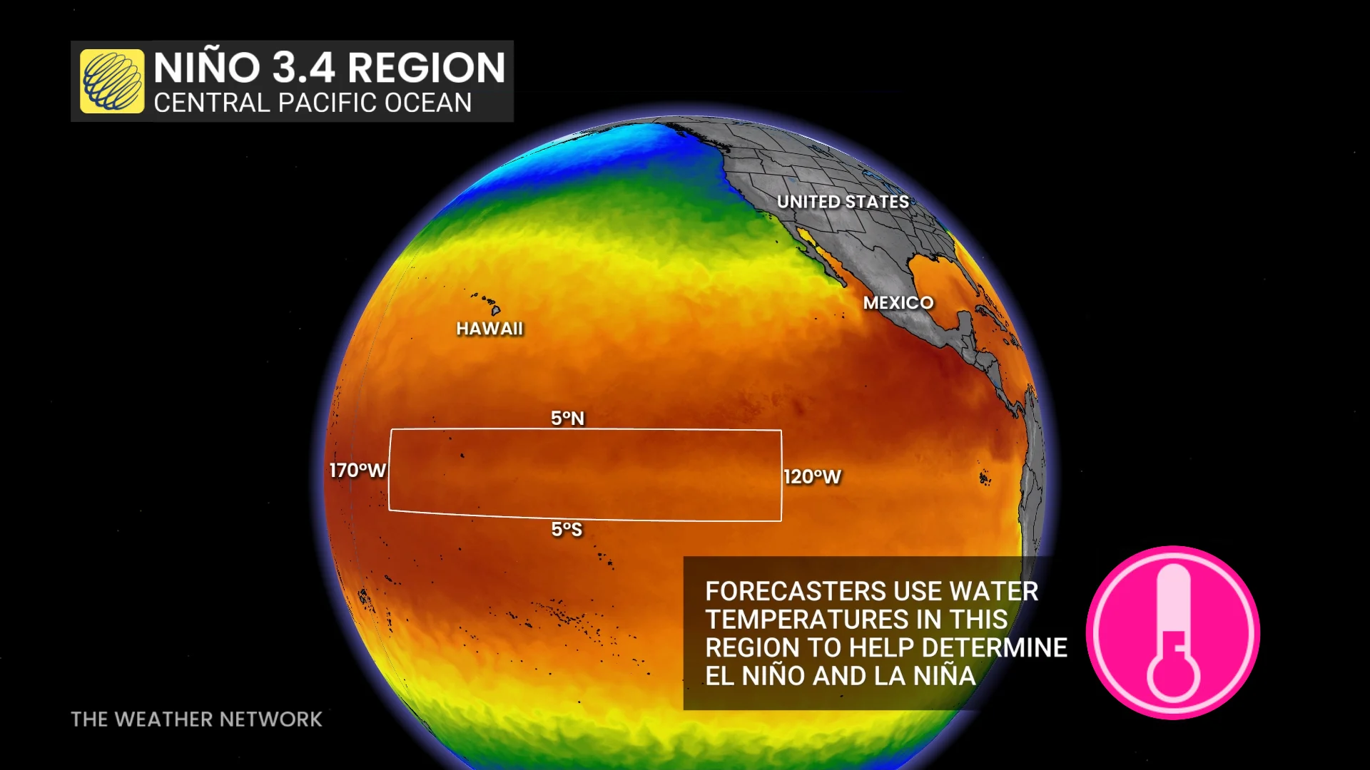
This region is running a fever this summer, with readings already running ahead of the powerful El Niño of 1997-98.
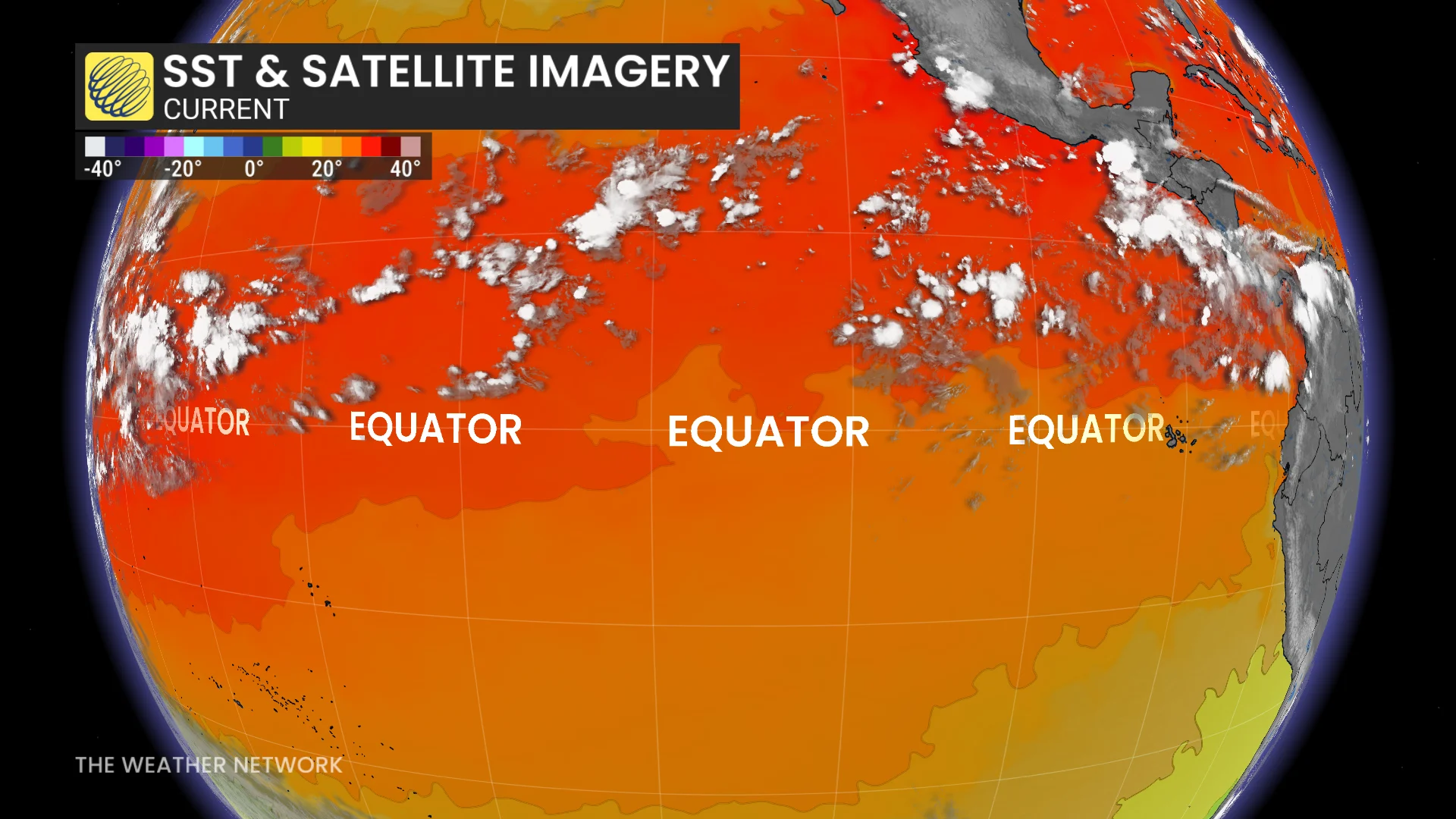
Current observations are just about 0.25°C under the all-time record set in November 2015 during that year’s historic El Niño event, which exerted significant influence on weather patterns around the world.
Conditions in the Pacific remain extraordinary even using the new Relative Oceanic Niño Index (RONI), which measures ocean temperature anomalies adjusted for the effects of climate change.
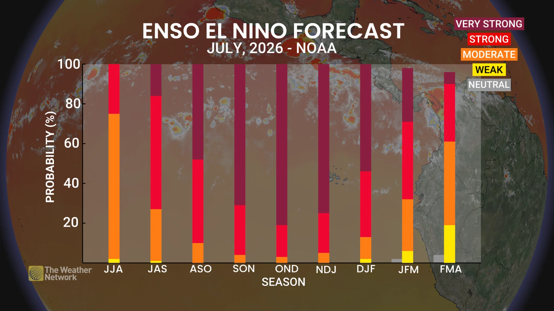
Given that we’re approaching uncharted territory, it’s tough to tell precisely how strong this El Niño will grow and when the abnormally hot water temperatures will reach their peak.
Some computer model guidance places the peak as much as 50 per cent higher than the previous all-time record.
What could this mean for Canada’s seasons ahead?
The most immediate impact of an intense El Niño is that strong wind shear blowing from the Pacific into the Gulf and Caribbean is stifling the Atlantic hurricane season.
As a result, forecasters are confident in well below-average hurricane activity, though El Niño years have an unsettling history of major storms sneaking through an otherwise unfavourable pattern.
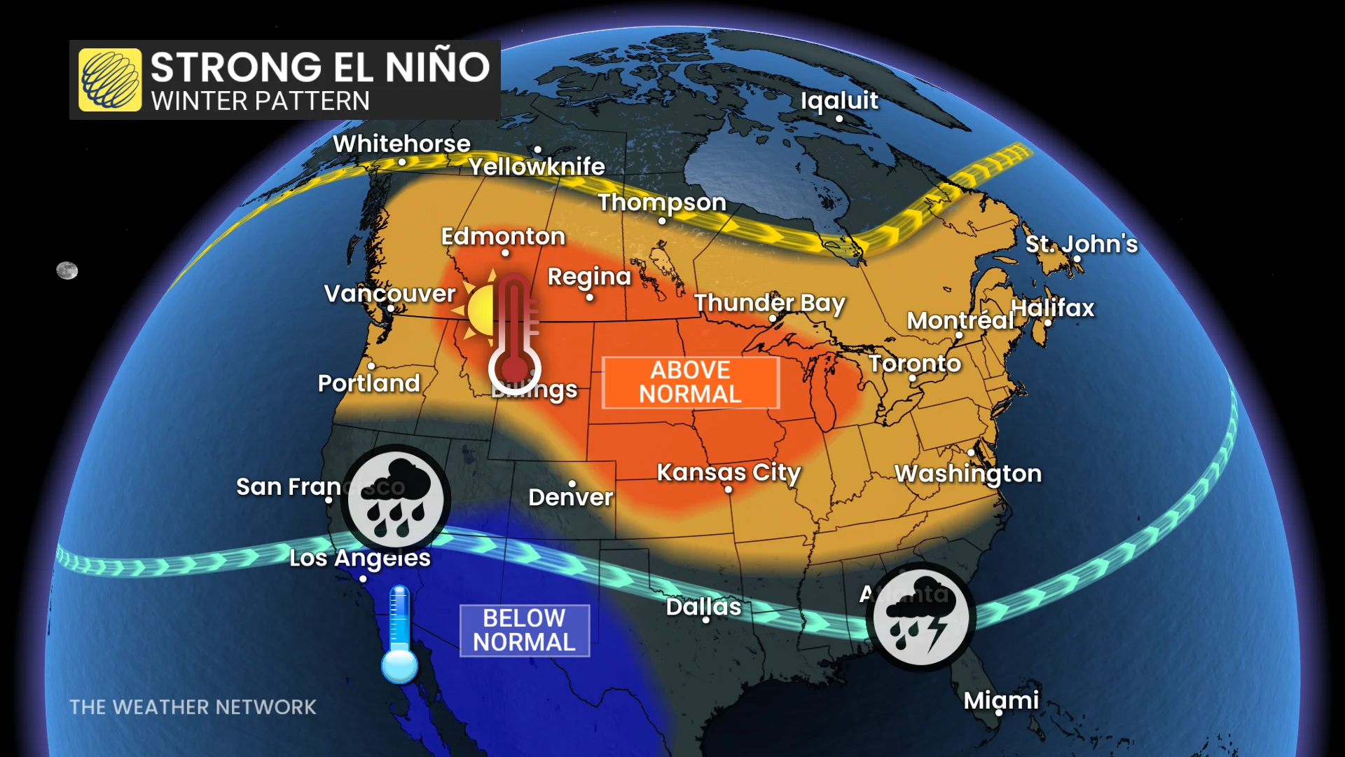
Meteorologists are closely watching the progress of this event for its potential impacts on Canada’s winter. We most strongly feel the effects of El Niño during the winter due to the pattern’s forceful influence on the jet stream.
Previous winters dominated by a strong El Niño may offer some clues about what we can expect this upcoming season, including 2023-24, 2015-16, and 1997-98.